Set of 2 maps | Kompass | Scale 1:50,000
This Kompass map set of the Azores is ideal for exploring the volcanic archipelago on foot or by bike. Accurate mapping at 1:50,000 supports planning hikes, cycle rides and nature excursions, with a clear representation of relief and scenery.
Kompass mapping includes essential
features
waymarked trails, including long-distance routes, cycle paths with profiles, mountain huts and inns, car parks, public transport, springs, swimming areas, ski trails for the relevant islands, via ferrata routes, viewpoints and other useful information. Mapped vegetation, contour lines, rock drawings and slope shading make the relief intuitive to read.
The set contains two maps covering a large part of the archipelago, with offline access in the Kompass app and advanced zoom for a more detailed view on the ground.
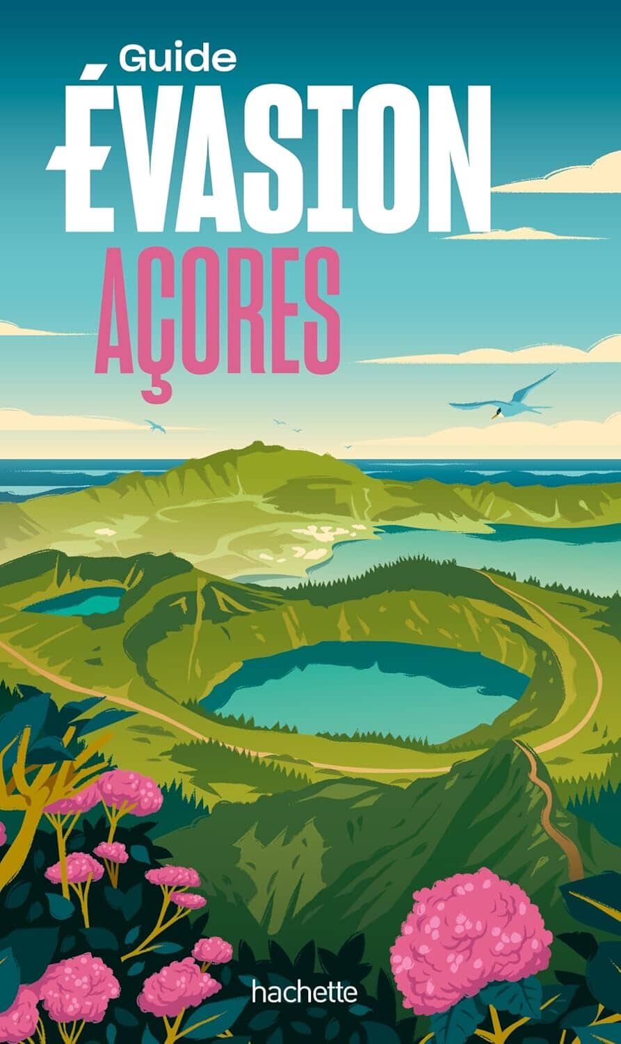
With green hills, turquoise crater lakes, rugged cliffs and majestic volcanoes, the Azores provide spectacular scenery for hikers. São Miguel features Lagoa das Sete Cidades, while Pico island is dominated by Portugal's highest point, Mount Pico.
A paradise for lovers of wild nature, ready to explore with a map in hand.