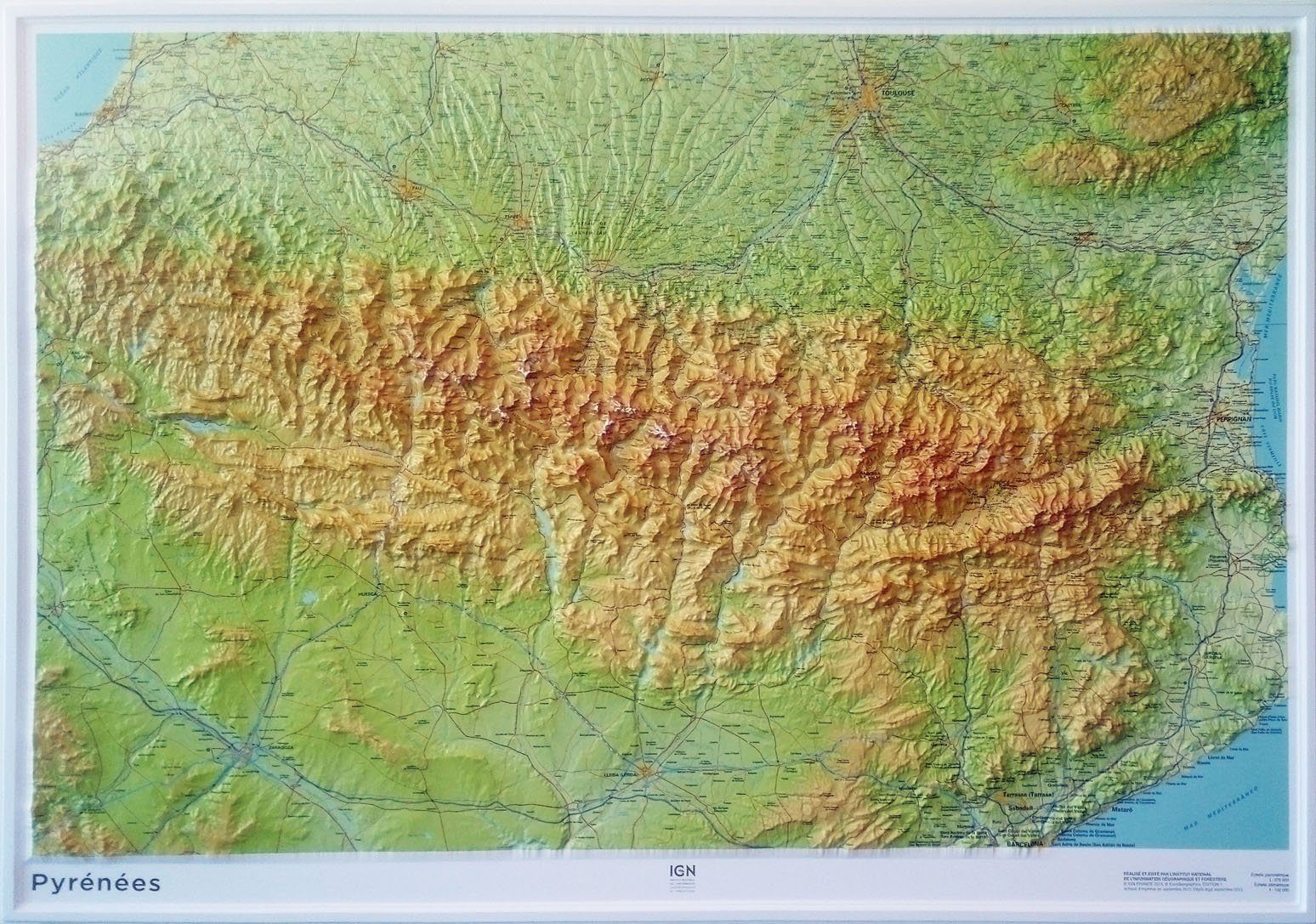
Detailed hiking map of Sierra de Montgony and Fonts del Llobregat (Catalan Pyrenees). The detailed topographic map, published by Editorial Alpina, is in color with the level curves.
Map cover : Pre - Pyrenees Orientales with Sierra de Montgrony, Puigllançada, Costa Pubilla, Pedró de Tubau and Alto Llobregat Valley ( Berguedà and Ripollès)
Features : 1:25 000 scale map with different types of information including marked trails (GR, PR and SL), Paths, roads, shelters, caves, fountains, etc.
The delivered folder with the map Includes:
• Informational information
• Selection of routes
• Information about The Natural Park of Cadí Moixeró
• Top14 points of interest


