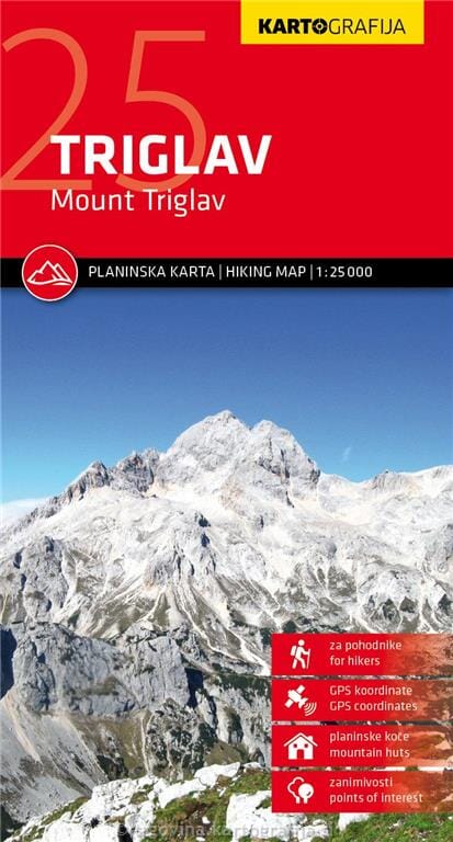
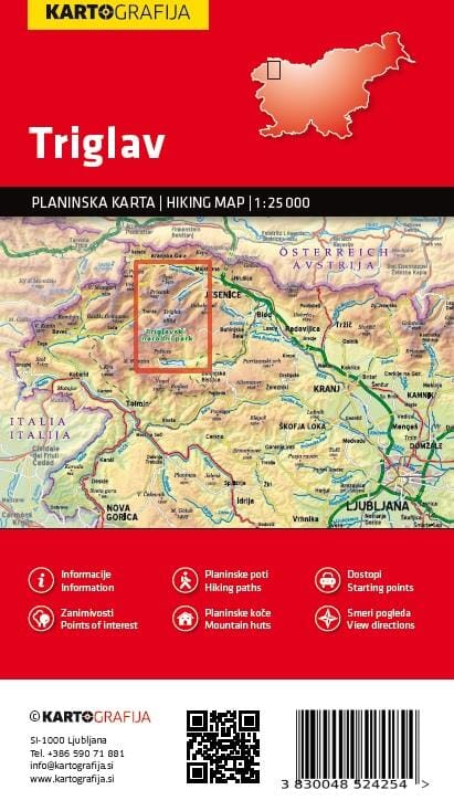
The central part of Triglav National Park on a lightweight, waterproof, tear-resistant, contoured and GPS-compatible map at 1:25,000 from Kartografija, with details of local mountain shelters, photographs and QR codes.
Centred on the summit of Triglav, the map extends north to Kranjska Gora, south to Lake Bohinj, west to Trenta and east to Bohinjska Bistrica in its southeastern corner. Contours at 10 m intervals, shading, graphic relief and numerous spot heights provide an excellent portrayal of the topography. An overprint highlights waymarked hiking trails, with difficult sections indicated.
32 mountain huts are referenced on the reverse. Additional symbols identify other tourist accommodation, inns, climbing sites, viewpoints, interesting natural and cultural sites, and more. Car parks and petrol stations are shown on the road network.
The map has latitude and longitude lines at 1-minute intervals and UTM crosshairs at 1 km intervals. An overview map on the reverse highlights eight routes to the summit of Triglav. 25 shelters are presented with photographs, contact details, GPS coordinates and QR codes for further information; seven other huts highlighted on the map are also listed.