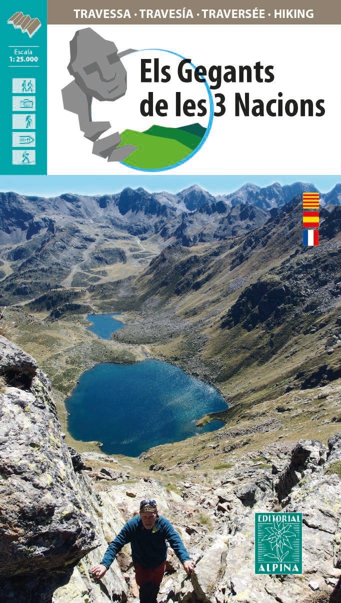
Hiking map - The Giants of the 3 Nations | Alpina

Price
Regular price $1800
Regular price Sale price $1800
/
  • Free returns (*)
  • Real-time stock levels
  • Cartovia Guarantee – Delivery issue?
    We resend immediately upon receiving a simple photo.
  • In stock, ready to ship
  • Backordered, shipping soon
Tax included.

Frequently bought together:

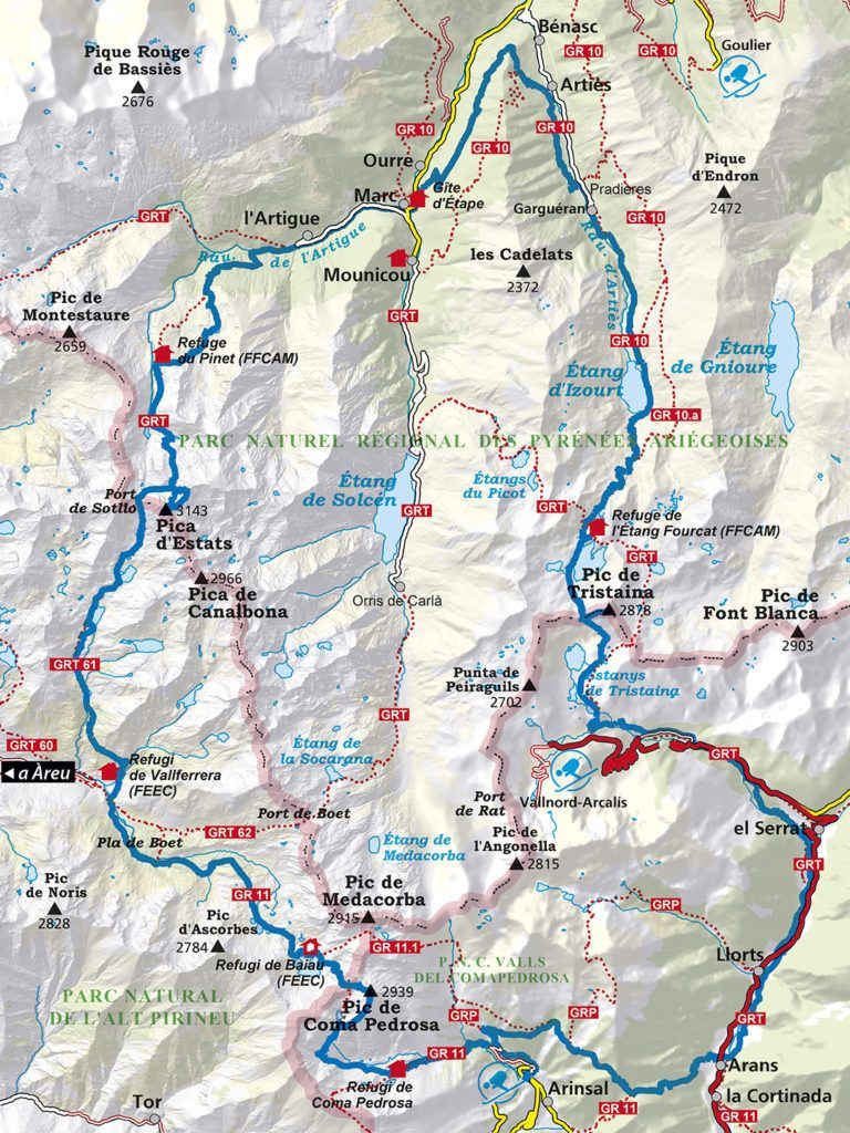
Detailed topographic map of the trek through the Three Nations Pyrenees Park, spanning Andorra's Coma Pedrosa Valleys and Sorteny Valley natural parks, Alt Pirineu Natural Park in Catalonia, Spain, and the Ariège Pyrenees Regional Natural Park in Ariège.

The Giants of the Three Nations route crosses the park in four to six days. It leads to the region's highest summits: Pica d'Estats, at 3,143 m, the highest point in Catalonia and Ariège, and Coma Pedrosa, at 2,942 m, Andorra's highest summit.

This 1:25,000 topographic map shows the mountain traverse and its overnight huts.

The accompanying folder includes:

  • Mountain huts.
  • Technical details for each stage.
  • General information about the traverse.


ISBN/EAN : 9788480908832
Publication date: 2021
Scale: 1/25,000 (1cm=250m)
Printed sides: front
Folded dimensions: 21 x 11.5 x 1cm
Unfolded dimensions: 70x80cm
Language(s): French, Castilian, Catalan
Weight: 156 g