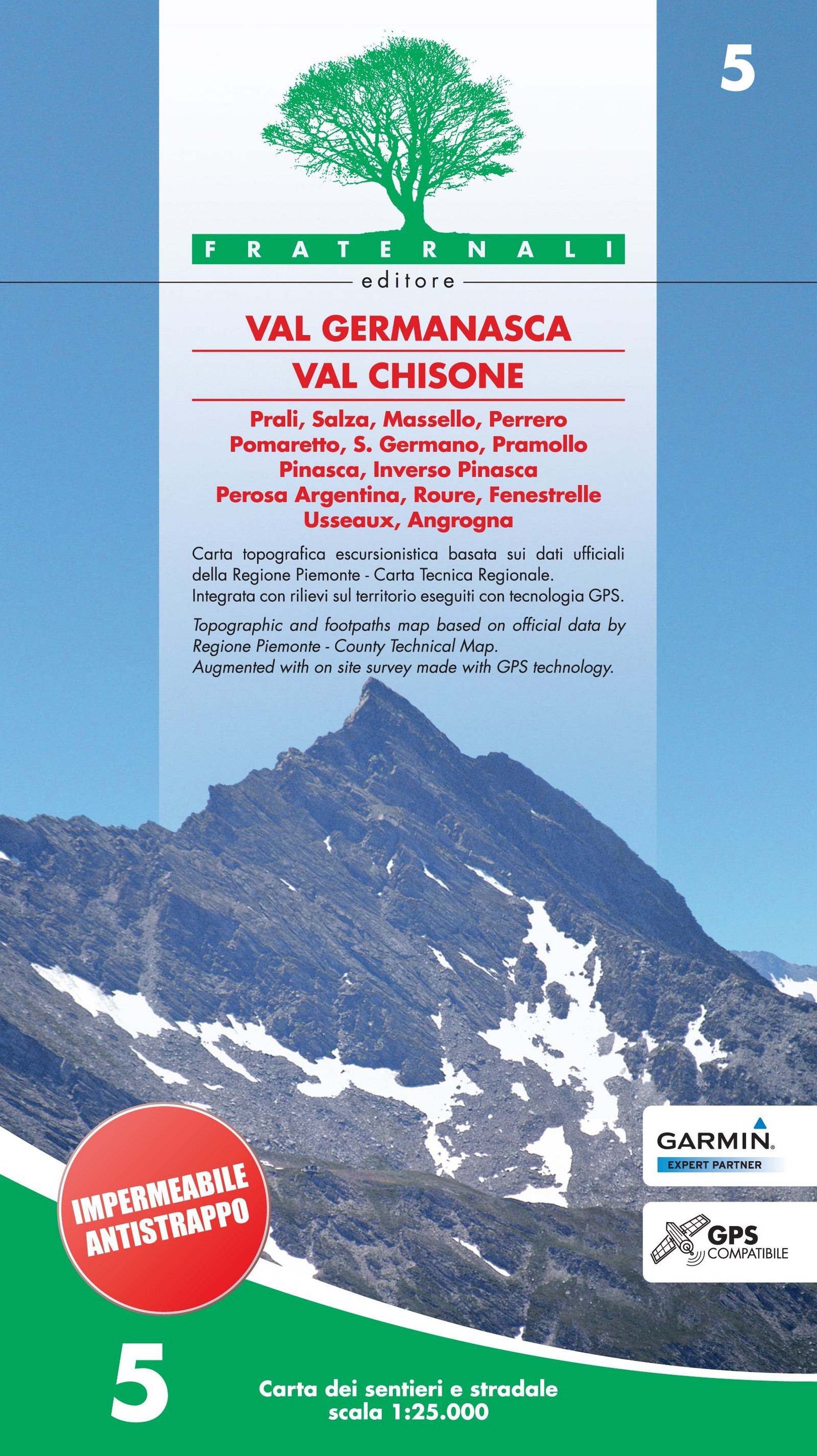
Hiking map No. 34 - Southern Langhe | Fraternali - 1:25,000

Price
Regular price $1600
Regular price Sale price $1600
/
  • Shipped within 24 to 48h from our warehouse in France
  • All-inclusive price: customs duties are already paid by Cartovia
  • Free returns (*)
  • Real-time stock levels
  • Cartovia Guarantee – Delivery issue?
    We resend immediately upon receiving a simple photo.
  • In stock, ready to ship
  • Backordered, shipping soon
Tax included.

Frequently bought together:

This Fraternali hiking map covers Southern Langhe. It is waterproof and tear-resistant.

It provides hiking information, including mountain huts, bivouac sites, unstaffed shelters, climbing walls, equipped areas, places of interest, via ferrata routes and hazardous passages.

  • Fountains, pylons, crosses, access restrictions, caves and other point features.
  • Ski touring and mountain biking routes.
  • Primary and secondary routes, named hiking trails and itineraries, and the complete road network.
  • Terrain types: woodland, rocky areas, glaciers and more.
  • Lakes, rivers and streams.
  • National, regional, provincial, municipal and national park boundaries.
  • Contour lines at intervals of 50 m, 10 m and 5 m.
  • Buildings, industrial sites, churches and cemeteries; military structures and fortifications.
  • Comprehensive place names, railway stations and motorway exits.

The legends and general information are fully translated into English, French and German. A UTM WGS84 metric grid is indicated in the map border.


ISBN/EAN : 9788897465508
Publication date: 2023
Scale: 1/25,000 (1cm=250m)
Printed sides: both sides
Folded dimensions: 14.4 x 28cm
Language(s): French, English, German, Italian
Weight: 80 g