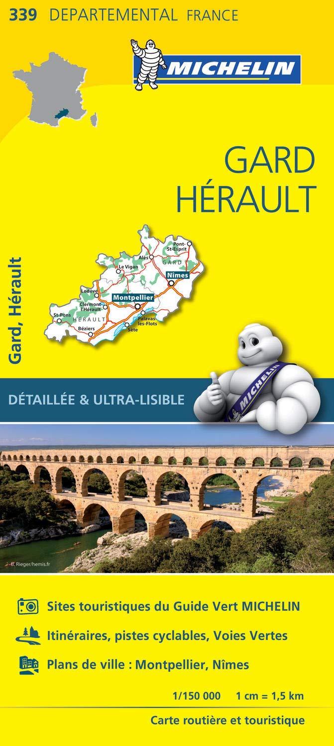
IGN TOP 25 hiking map no. 2645 ET - Sète, Cap d'Agde, Etang de Thau

Price
Regular price $1800
Regular price Sale price $1800
/
  • Ships within 24 business hours from our warehouse in France
  • Free returns (*)
  • Real-time stock levels
  • Cartovia Guarantee – Delivery issue?
    We resend immediately upon receiving a simple photo.
  • Low stock - 2 items left
  • Backordered, shipping soon
Tax included.

Frequently bought together:

IGN TOP 25 hiking map no. 2645ET of Sète, Cap d'Agde, and the Etang de Thau.

This topographic map offers contour lines spaced 10 meters apart and a detailed legend (vegetation, rocks, communication routes down to the smallest path, buildings down to the shed, woods, isolated tree, river, spring etc).

Marked trails and tourist information are indicated. Scale 1/25,000 (1 cm = 250 m).

Municipalities covered Sète, Cap-d'Agde, Etang de Thau, Castelnau-de-Guers, Pinet, Bessan, Vias, Pomérols, Saint-Thibéry, Florensac, Marseillan, Nézignan-l'Évêque, Agde, Mèze, Balaruc-le-Vieux, Loupian, Aumes, Bouzigues

Places to discover : Thau Basin, Ingril Pond, Cap d'Agde, Mont St-Clair, Gardiole Mountain, Espace Brassens, Bagnas Nature Reserve, Gallo-Roman Villa, Roman Bridge, Europark, Aqualand Cap d'Agde, St-Hippolyte, Fort St-Pierre, Théâtre de la Mer.


ISBN/EAN : 9782758560470
Publication date: 2026
Scale: 1/25,000 (1cm=250m)
Printed sides: front
Folded dimensions: 24 x 11cm
Unfolded dimensions: 96 x 132cm
Language(s): French, English, German
Weight: 89 g