Carte de randonnée - Fife Coastal Path XT40 | Harvey Maps - National Trail maps carte de randonnée Harvey Maps

Hiking map - Fife Coastal Path XT40 | Harvey Maps - National Trail maps

Price
Regular price $2800
Regular price Sale price $2800
/
  • In stock in France and in the UK
    Shipped within 24 to 48h from the warehouse closest to you
  • All-inclusive price: customs duties are already paid by Cartovia
  • Free returns (*)
  • Real-time stock levels
  • Cartovia Guarantee – Delivery issue?
    We resend immediately upon receiving a simple photo.
  • In stock, ready to ship
  • Backordered, shipping soon
Tax included.

Frequently bought together:

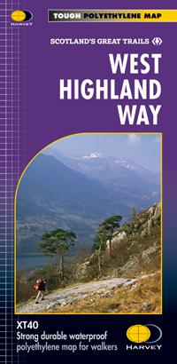
The Fife Coastal Path map covers the entire route from Kincardine to Newburgh, 187 km (116 miles), with the trail clearly marked.

The trail combines steep cliffs, sandy beaches, fishing villages and historic castles. It offers opportunities to explore nature reserves, watch wildlife and enjoy sea views. Attractions include the historic university town of St Andrews, the challenging Elie Chainwalk and the Forth bridges. The route is described as accessible year-round and suitable for walkers of all abilities.

  • Original HARVEY mapping at 1:40,000, with the detail walkers need.
  • Accommodation and service information.
  • Lightweight, detailed, clear and easy to read.
  • Durable, 100% waterproof and tear-resistant paper.


ISBN/EAN : 9781851376902
Publication date: 2024
Scale: 1/40,000 (1cm=400m)
Printed sides: front
Folded dimensions: 14x25cm
Unfolded dimensions: 11.6 x 48.6 cm
Language(s): English
Weight: 70 g