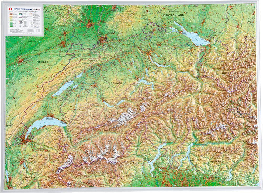
An ideal map for hiking, cycling and all outdoor activities in the Appenzellerland region, around the Säntis.
Features :
-
Scale 1:40,000 : 1 cm = 400 m
-
A legible, accurate, and information-rich map
-
All official hiking trails with names and numbers
-
Cycling routes (including trails), via ferrata
-
Hostels, shelters, car parks, buses and trains
-
Ski slopes, ski touring routes, springs, beaches
-
Detailed representation of the terrain, vegetation and shade
-
Map data continuously verified and updated
About the region:
The picturesque landscape of Appenzellerland , dominated by the iconic Säntis peak, offers hiking trails through verdant meadows and past traditional Swiss farmhouses . Ideal for lovers of nature and authenticity.


