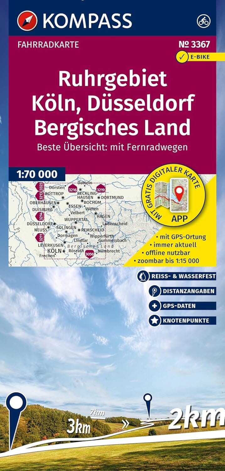
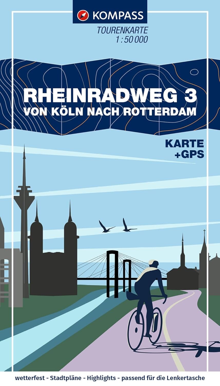
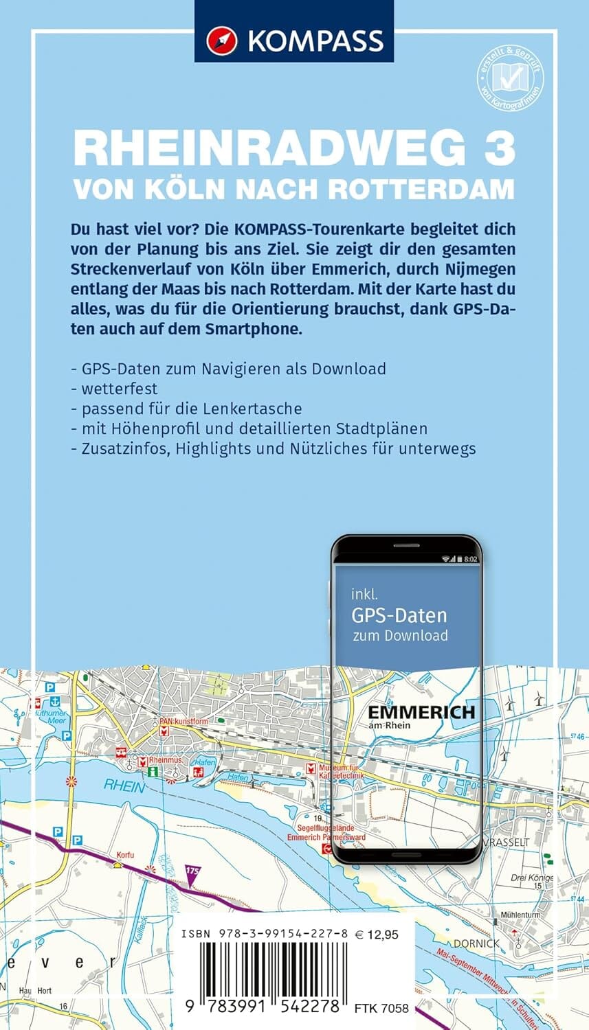
Cycle map – Ruhrgebiet, Cologne, Düsseldorf, Bergisches Land
Scale 1:70,000 – Strong and waterproof paper – Kompass Edition
Explore the industrial and cultural heart of Germany by bike!
This Kompass map offers you an excellent combination of cartographic detail and geographical extent , perfect for planning your cycling routes and easily finding your way throughout your rides. It is waterproof and tear-resistant , designed to last for many years.
All the benefits of this map at a glance:
-
Complete representation of long-distance cycle routes, main and secondary, with names and symbols.
-
Electric bike charging stations , rentals and repair shops .
-
Information on road conditions , food stops , train stations and passenger ferries .
-
Compact and practical size to take anywhere.
-
Distances indicated between stages for precise planning.
-
Slope arrows to quickly visualize climbs and descents (moderate or steep slope).
-
Downloadable GPX files for GPS or mobile applications.
-
Map available in the Kompass application , with different zoom levels.
-
Weather and wear resistant paper .
About the region:
The Ruhrgebiet , designated European Capital of Culture in 2010, is much more than a city: it is a vast metropolis of more than 5 million inhabitants , spread over some 4,500 km². Crossed by the Ruhr, the region is a fascinating mixture of industrial heritage , large urban centers (Dortmund, Essen, Duisburg, etc.) and new green zones developed on former industrial wastelands.
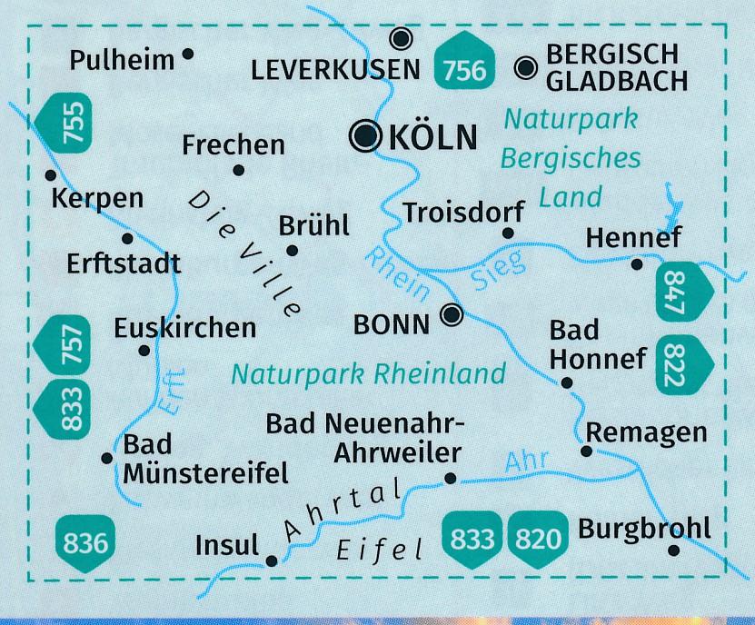
Historic cities like Cologne and Düsseldorf , as well as the hilly landscapes of the Bergisches Land , offer a unique diversity for cycle touring enthusiasts, combining culture, nature and industrial history .