Spiral-bound road atlas - Great Britain, Northern Ireland | Freytag & Berndt

Price
Regular price $2900
Regular price Sale price $2900
/
  • Shipped within 24 to 48h from our warehouse in France
  • All-inclusive price: customs duties are already paid by Cartovia
  • Free returns (*)
  • Real-time stock levels
  • Cartovia Guarantee – Delivery issue?
    We resend immediately upon receiving a simple photo.
  • In stock, ready to ship
  • Backordered, shipping soon
Tax included.

Frequently bought together:

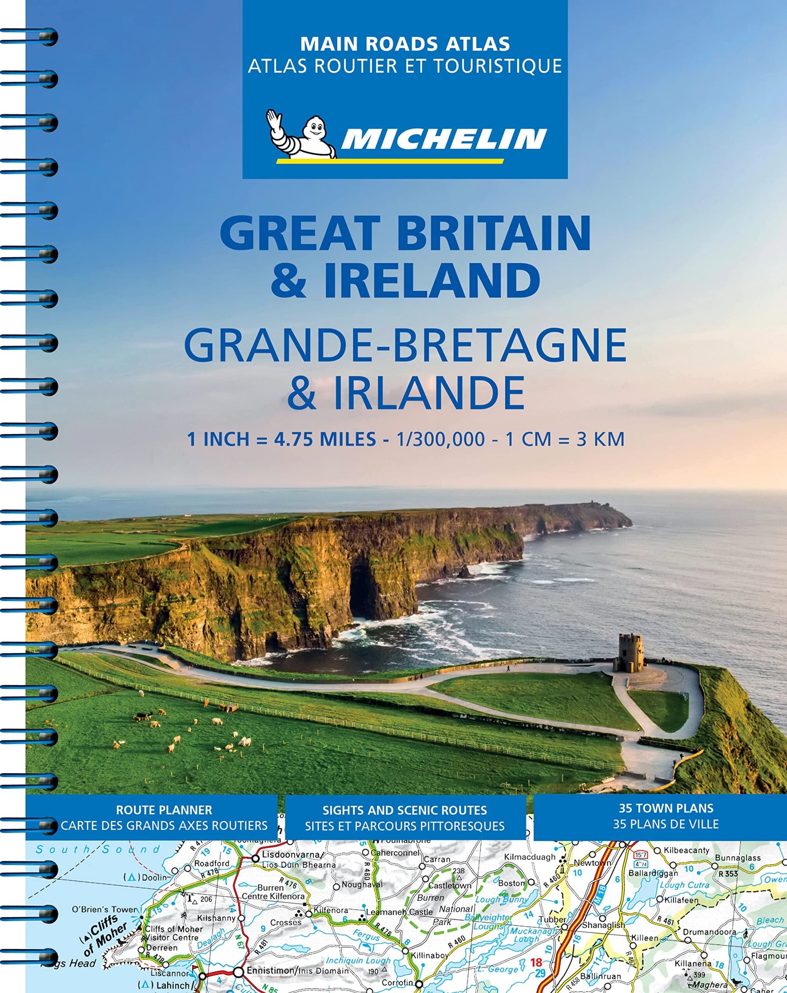
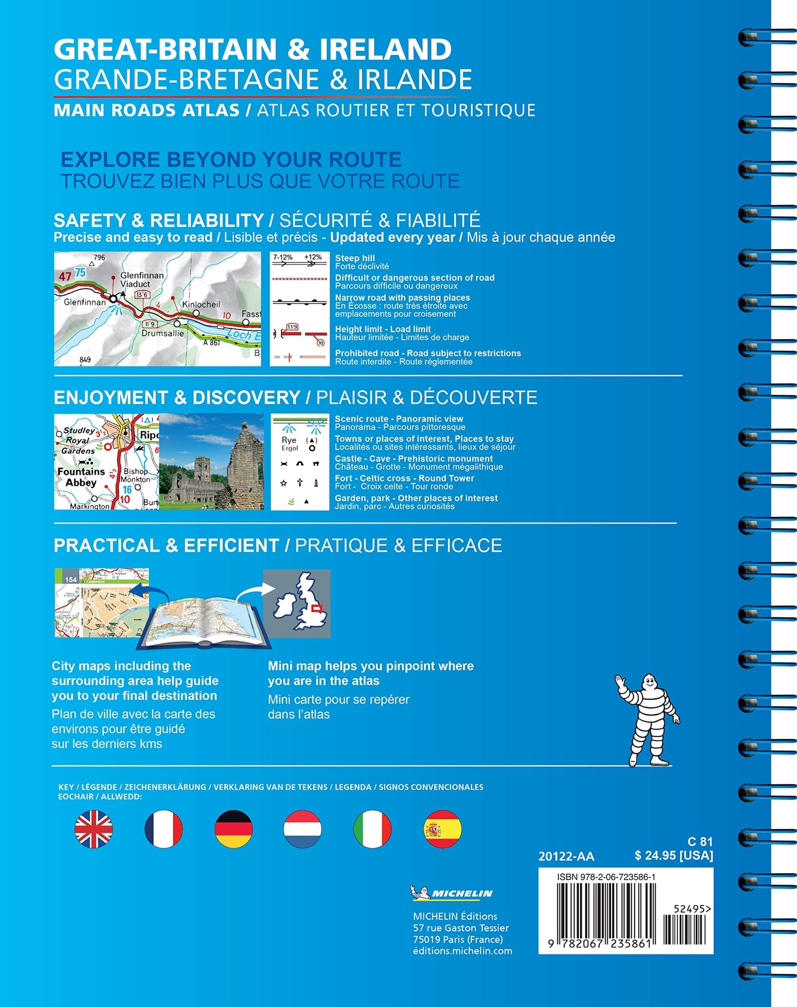
This detailed road atlas of Great Britain and Northern Ireland is designed for driving throughout the United Kingdom, exploring not only motorways and main roads but also smaller secondary roads often missing from general maps.

Precise mapping at suitable scales supports effective route planning and reliable navigation during the journey.

Features

  • Coverage: Great Britain and Northern Ireland.
  • Scales: 1:200,000 to 1:266,000.
  • Practical format: 22.5 x 29.7 cm, 328 pages.
  • Spiral binding for easy, lay-flat consultation.
  • 64 city-centre plans.
  • A place-name index for quick searches.
  • Useful tourist information and points of interest.
  • Campsite and motorhome stop locations.


ISBN/EAN : 9783707924985
Publication date: 2026
Pagination: 328 pages
Scale: 1/200,000 (1cm=2km)
Folded dimensions: 22.5 x 30 cm
Language(s): French, English, German
Weight: 990 g