Road Atlas - Alps | Freytag & Berndt
- Free returns (*)
- Real-time stock levels
-
Cartovia Guarantee – Delivery issue?
We resend immediately upon receiving a simple photo.
📦 Hard-to-find maps - worldwide shipping
📦 Hard-to-find maps & travel guides - worldwide shipping, 30-day returns
🌞 Summer travel: 20,000+ maps in stock
🌞 Plan your summer: 20,000+ maps and travel guides in stock Details →
✅ Latest editions guaranteed — since 2010
✅ Latest editions guaranteed - 180,000+ travellers equipped since 2010
The ideal companion for traveling in the Alps by car
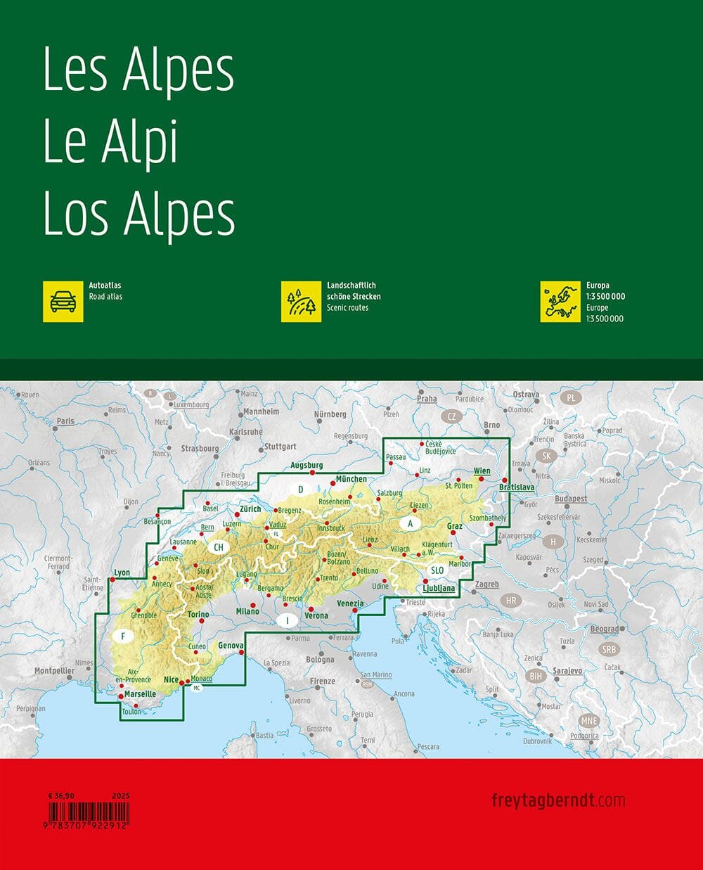
The 1:150,000 scale Alpine road atlas is the perfect guide for anyone traveling by car in the Alpine region and not wanting to be limited to motorways and major roads. It is ideal for route planning and is a valuable aid during the journey.
Detailed mapping of the Alpine countries at a scale of 1:150,000
Planning map of Europe at a scale of 1:3,500,000
Concealed spiral binding (integrated spiral)
Camping pitches and motorhome areas, tourist information
Index of localities with postal codes
464 pages , format 24 x 30 cm
The thematic coverage follows the entire Alpine arc, from Avignon in the west to Bratislava in the east . Austria and Switzerland are fully mapped, as are all Alpine areas in neighboring countries.
Thanks to precise and detailed mapping , it is possible to discover even the less traveled secondary roads. Tourist routes and scenic routes are highlighted in color.
Car drivers and motorcyclists particularly appreciate the precise mapping from freytag & berndt for planning and orientation on site .
For travelers in a camper van, caravan or converted van , all campsites and parking areas are indicated in the atlas.
ISBN/EAN
: 9783707922912
Publication date: 2025
Pagination: 464 pages
Scale: 1/150,000 (1 cm = 1.5 km)
Folded dimensions: 24x30cm
Language(s): French, English, German
Weight:
1300 g
Ce book est très complet, c'est une mine d'informations.
Très bien pour préparer notre road-trip du tour du massif alpin en camping-car avec étapes pour randonnées alpines type mini-trek sur le pourtour de l'arc alpin
Petite remarque (valable souvent pour ce genre d'atlas), il manque une page avec des puces auto-collantes pour repérer facilement les pages favorites.
Y'a plus qu'à faire...
The exclusive newsletter for travel and discovery enthusiasts!