Spiral-bound road atlas - USA, Canada, Mexico | Freytag & Berndt

Price
Regular price $3500
Regular price Sale price $3500
/
  • In stock in France and in the UK
    Shipped within 24 to 48h from the warehouse closest to you
  • All-inclusive price: customs duties are already paid by Cartovia
  • Free returns (*)
  • Real-time stock levels
  • Cartovia Guarantee – Delivery issue?
    We resend immediately upon receiving a simple photo.
  • In stock, ready to ship
  • Backordered, shipping soon
Tax included.

Frequently bought together:

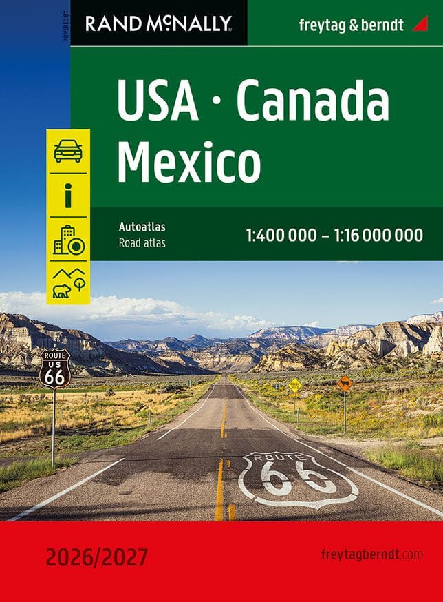
This North America road atlas from Freytag & Berndt is designed for car and motorhome travel across the United States, Canada and Mexico. Useful for both planning and navigation on the road, it presents clear, detailed maps at scales suited to each region.

Main features

  • Coverage: United States, Canada and Mexico.
  • Scales from 1:400,000 for states and provinces to 1:16,000,000 for overview mapping.
  • Maps of more than 50 North American cities.
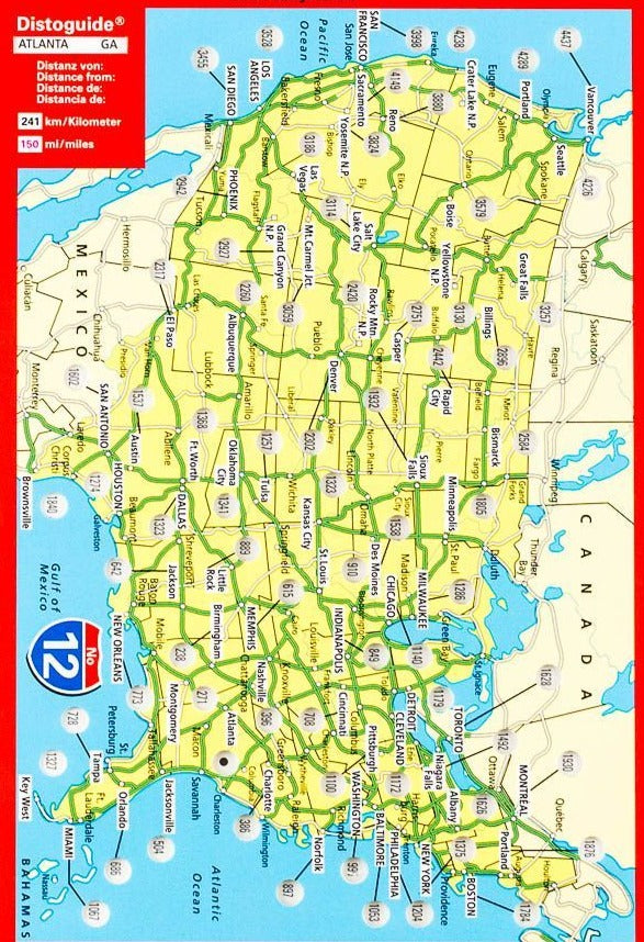
  • A distance and journey-time map linking hundreds of cities.
  • Tourist information and marked national parks.
  • Spiral binding that stays open for convenient use, including in the car.
  • Practical dimensions: 20.3 x 27.5 cm.
  • 184 pages.

City-centre maps help with urban orientation. The clear, intuitive presentation suits road trips along major American highways, through Canadian scenery or on Mexican routes.


ISBN/EAN : 9783707924435
Publication date: 2025
Pagination: 184 pages
Scale: 1/400,000 (1 cm = 4 km) & 1/16,000,000
Folded dimensions: 20 x 27cm
Language(s): German English
Weight: 379 g