Hiking map - Anglesey Coastal Path XT40 | Harvey Maps - National Trail maps

Price
Regular price $2800
Regular price Sale price $2800
/
  • Free returns (*)
  • Real-time stock levels
  • Cartovia Guarantee – Delivery issue?
    We resend immediately upon receiving a simple photo.
  • In stock, ready to ship
  • Backordered, shipping soon
Tax included.

Frequently bought together:

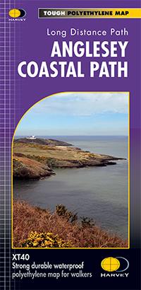
This map by Harvey Maps covers Anglesey Coastal Path.

The 200 km (125 mile) long Anglesey Coastal Path is a long distance route that follows much of the island's coastline and comprises one section of the Wales Coast Path. The path primarily caters for walkers however, cyclists and horse riders can also enjoy certain sections.

The path falls within a designated Area of Outstanding Natural Beauty which covers 95% of the coast. It passes through landscape that includes a mixture of farmland, coastal heath, dunes, salt-marsh, foreshore, cliffs and a few small pockets of woodland.

  • Tough, light, durable and 100% waterproof.
  • Rights of way are shown.
  • Route clearly marked on the map.
  • Entire route on one map.


ISBN/EAN : 9781851375851
Publication date: 2016
Scale: 1/40,000 (1 cm = 400 m)
Printed sides: front
Folded dimensions: 11.6 x 24.3cm
Unfolded dimensions: 69.6 x 97.2cm
Language(s): English
Weight: 70 g