Hiking & skiing map - AmmergeBirge East, Pürschling, Hörnle No. BY07 (Bavarian Alps) | Alpenverein

Price
Regular price $1500
Regular price Sale price $1500
/
  • Shipped within 24 to 48h from our warehouse in France
  • All-inclusive price: customs duties are already paid by Cartovia
  • Free returns (*)
  • Real-time stock levels
  • Cartovia Guarantee – Delivery issue?
    We resend immediately upon receiving a simple photo.
  • In stock, ready to ship
  • Backordered, shipping soon
Tax included.

Frequently bought together:

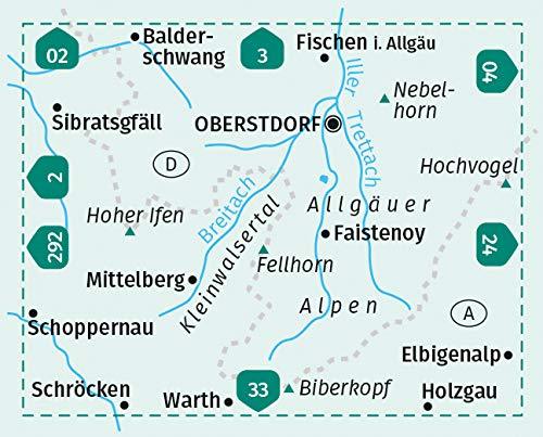
This topographical map from the Alpenverein BY07 series covers the eastern sector of the Ammergebirge, as well as the Pürschling and Hörnle massifs in the Bavarian Alps. An essential reference for mountain activities, it is jointly published by the German and Austrian Alpine Clubs, renowned for over 150 years for the quality of their maps.

Particularly popular with hikers, mountaineers and ski tourers, it offers an extremely precise representation of the relief and terrain.

📌 Features

  • Series: Alpenverein BY07
  • Scale: 1:25,000
  • Detailed topographic map
  • Precise representation of relief and rock formations
  • UTM coordinate grid
  • Regularly updated mapping
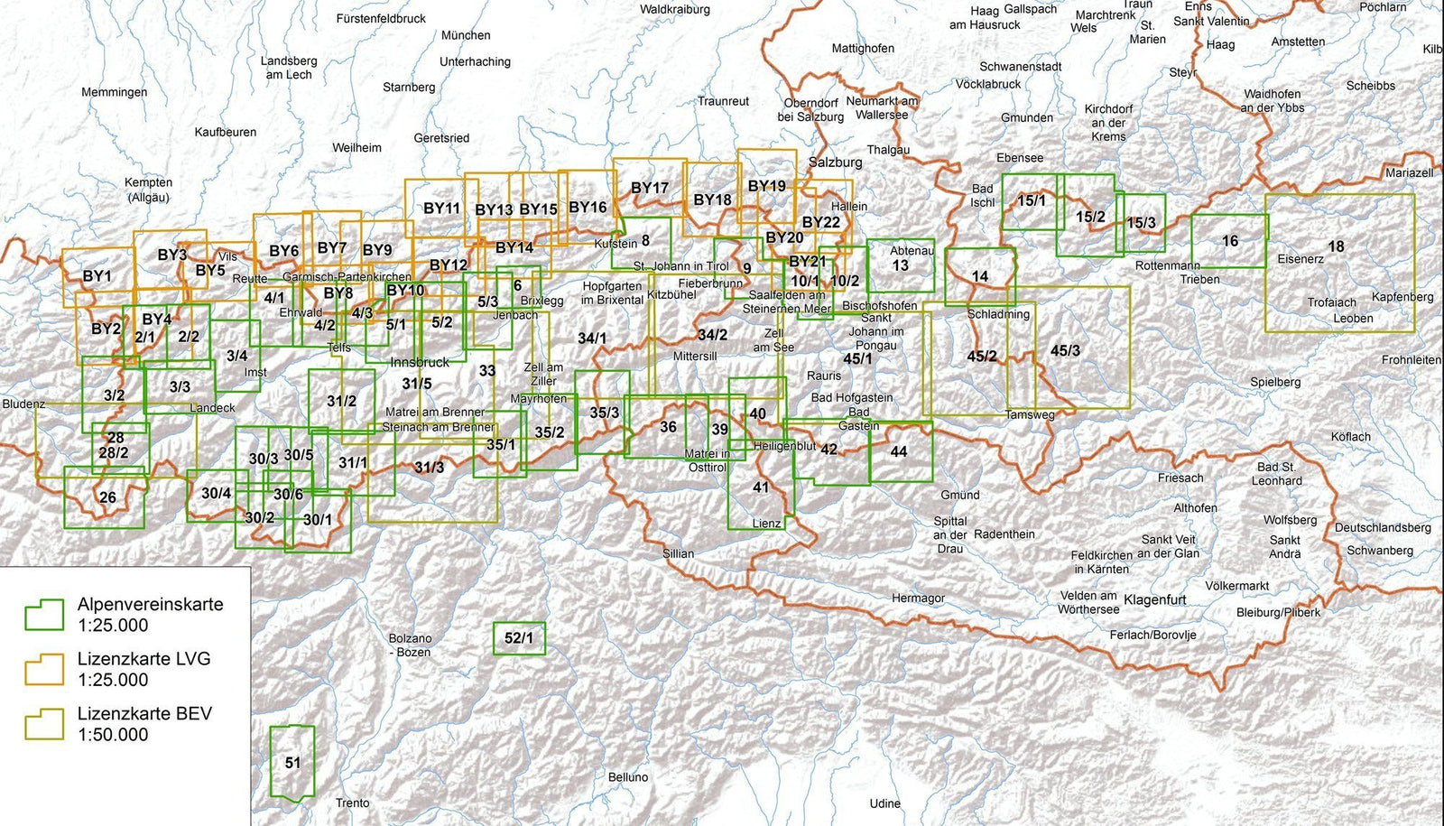
  • Compatible with other sheets in the series thanks to overlapping areas

🌍 Covered Area

  • Eastern Ammergebirge
  • Pürschling
  • Hörnle
  • Bavarian Alps (Germany)


ISBN/EAN : 9783948256531
Publication date: 2026
Scale: 1:25,000
Printed sides: front
Folded dimensions: 21 x 13 x 0.6cm
Language(s): German
Weight: 82 g