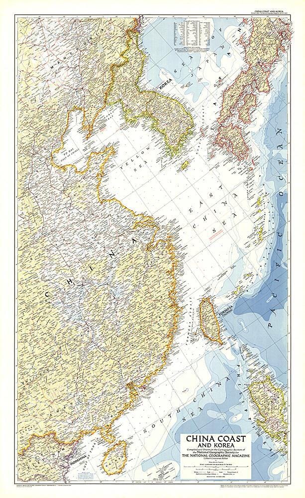
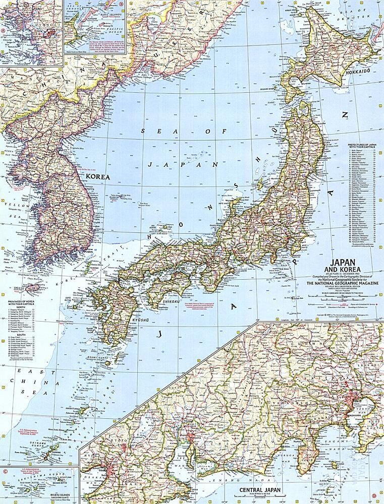
1953 Carte de la côte chinoise et de la Corée carte murale roulée (en tube) National Geographic Historic POD Default Title

1953 Map of the Chinese coast and Korea

Price
Regular price $5000
Regular price Sale price $5000
/
  • Shipping within 48 business hours from our warehouse in the USA. For this product, customs fees may be requested by the carrier upon delivery.
  • Choose your delivery method and cost at checkout, before confirming your order.
  • Free returns (*)
  • Real-time inventory
  • In stock, ready to ship
  • Backordered, shipping soon
Tax included.

Related geographic locations and collections:

China, Historical Maps, North Korea, South Korea, Wall Maps

Often purchased together:

This detailed map of the Chinese coast and Korea was published in October 1953, a few months after the end of the Korean War. It accompanied the article "Our Navy in the Far East."

.


ISBN/EAN : 2321364M
Publication date: 1953
Unfolded dimensions: 26in / 42.25in
Language(s): English
Weight: 200 g