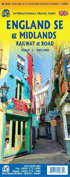
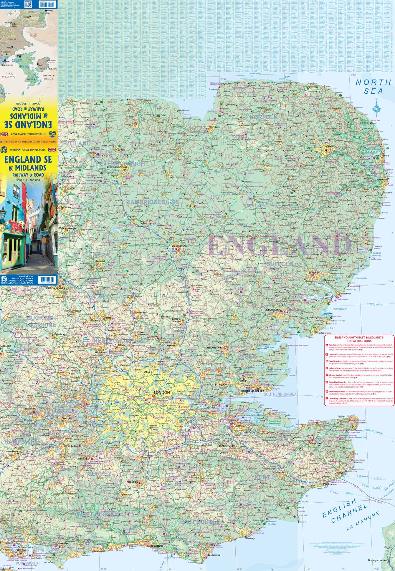
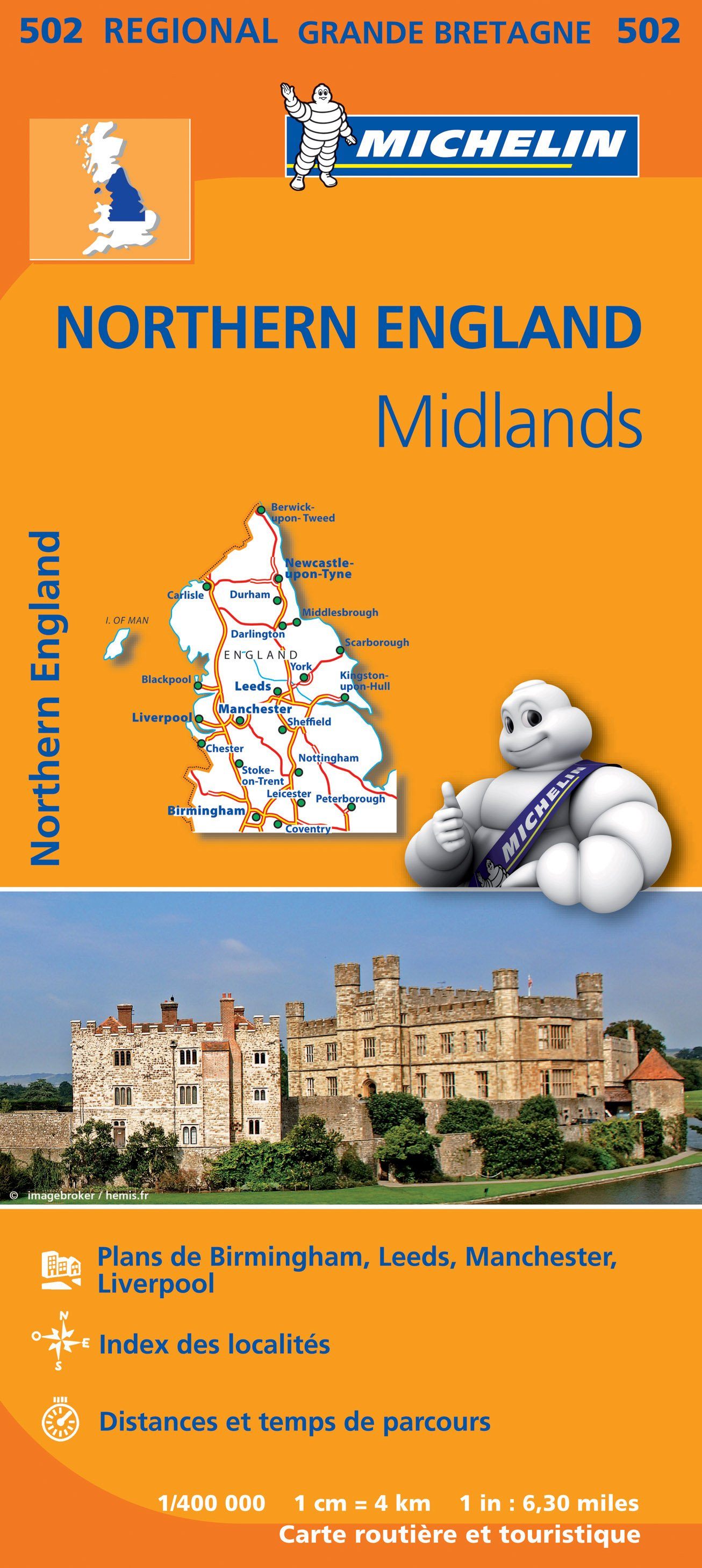
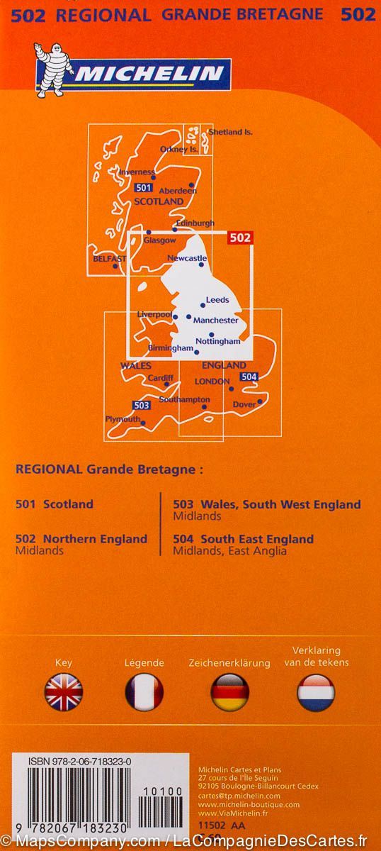
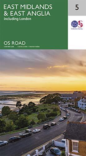
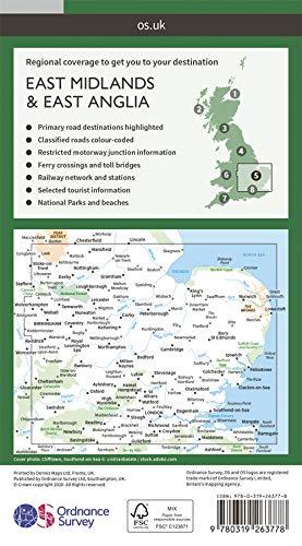
Detailed road map from Southeast of England and Midlands published by ITM. p>
The front of the map extends from the handle to the northern tip of East Anglia and to the west to Portsmouth / Reading / Peterborough. The London region is included on this face. P>
The back is composed of this complex part of England generally called "The Midlands" stretching from Cambridge / Peterborough at the Welsh Border and Luton / Gloucester in Manchester / Grimsby. p>
Index of cities included. p>
All highways are indicated, but railway lines are also highlighted, to encourage train trips. Tourist attractions indicated. P>
The legend includes: park, airport, museum, monument, point of view, hotel, beach, zoo, university, etc.
p>