Set of 2 hiking maps - Midi d'Ossau, Balaitus (Pyrenees National Park, western sector) | Alpina

Price
Regular price $2200
Regular price Sale price $2200
/
  • In stock in France and in the UK
    Shipped within 24 to 48h from the warehouse closest to you
  • All-inclusive price: customs duties are already paid by Cartovia
  • Free returns (*)
  • Real-time stock levels
  • Cartovia Guarantee – Delivery issue?
    We resend immediately upon receiving a simple photo.
  • In stock, ready to ship
  • Backordered, shipping soon
Tax included.

Frequently bought together:

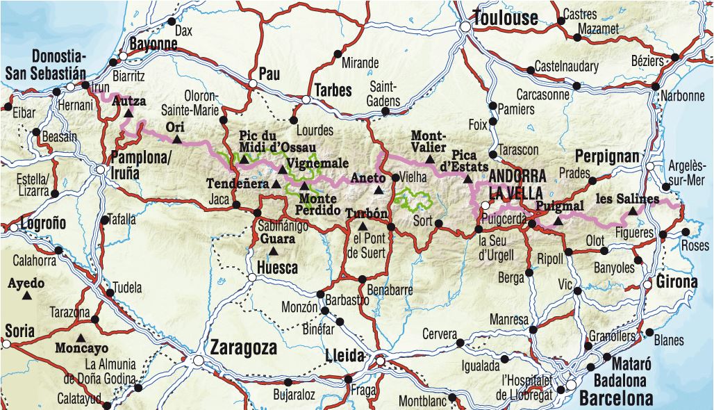
These two maps cover the western part of Pyrenees National Park, including the Vignemale and Balaïtous massifs and Pic du Midi d'Ossau.

The Pyrenees National Park stretches for around 100 km along the Spanish border, across six valleys, two departments, Pyrénées-Atlantiques and Hautes-Pyrénées, and two regions, Nouvelle-Aquitaine and Occitanie.

Coverage: Pyrenees National Park, Pyrénées-Atlantiques and Hautes-Pyrénées, in the Midi d'Ossau, Balaïtous and Vignemale sector.

The two 1:30,000 topographic maps include information for hikers: mountain huts, waymarked GR, PR and local routes, summit paths, access to hiking starting points and more.

The fold-out flap includes:

  • 20 hikes.
  • Geographical information.
  • Must-see sites.


ISBN/EAN : 9788470110948
Publication date: 2024
Scale: 1/30,000 (1cm=300m)
Printed sides: front
Folded dimensions: 21 x 11.5cm
Unfolded dimensions: 100x70cm
Language(s): French, English, Castilian
Weight: 170 g