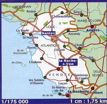
This IGN Blue Series No. 1427 hiking map provides mapping of the Fontenay-le-Comte, Sainte-Hermine area.
- Reference stated in the description: 1427SB.
This highly accurate topographic mapping shows every detail on the ground:
- Transport routes down to the smallest paths.
- Buildings, including individual sheds.
- Woodland, isolated trees, rivers and springs.
Contour lines show the terrain.
- Waymarked trails and tourist information are also shown.
Municipalities covered: Vouvant, Fontenay-le-Comte, La Chapelle-Thémer, La Réorthe, Thouarsais-Bouildroux, Saint-Martin-Lars-en-Sainte-Hermine, Saint-Juire-Champgillon, Le Langon, Saint-Aubin-la-Plaine, Sainte-Hermine, Pouillé, La Caillère-Saint-Hilaire, Nalliers, Saint-Valérien, Saint-Étienne-de-Brillouet.
Places to discover: Marais poitevin Regional Nature Park, Mervent-Vouvant State Forest, la Mère Valley, la Citardière, Usine Mathieu, Tour Mélusine, Nature'Zoo, Aubraie Castle, Père de Montfort Cave, Terre-Neuve Castle, le Jardin du Bâtiment.