Hiking map - Vall de Lord, Port del Comte (Catalan Pyrenees) | Alpina

Price
Regular price $1800
Regular price Sale price $1800
/
  • Shipped within 24 to 48h from our warehouse in France
  • All-inclusive price: customs duties are already paid by Cartovia
  • Free returns (*)
  • Real-time stock levels
  • Cartovia Guarantee – Delivery issue?
    We resend immediately upon receiving a simple photo.
  • In stock, ready to ship
  • Backordered, shipping soon
Tax included.

Frequently bought together:

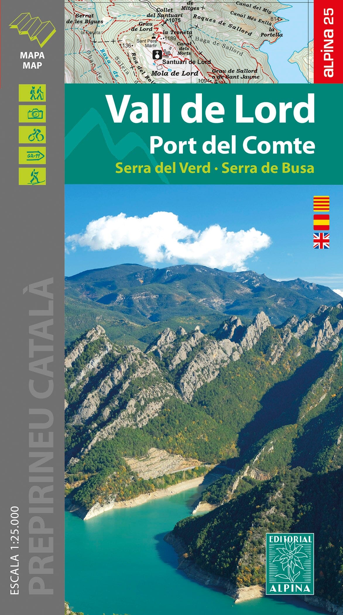
Detailed map and hiking guide to Vall de Lord and Port del Comte, published by Alpina.

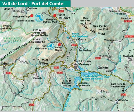
Vall de Lord lies in the northern part of the Solsonès region, in the Pre-Pyrenees. The map covers the Port del Comte massif, Busa and Serra del Verd, as well as the source of the Cardener.

The 1:25,000 topographic map provides information for hikers: waymarked GR, PR and SL trails, paths, caves, and natural and cultural heritage.

The map comes in a booklet with:

  • Geographical information.
  • Mountain huts.
  • Hikes.
  • A selection of 12 highlights.


ISBN/EAN : 9788480909754
Publication date: 2023
Scale: 1/25,000 (1cm=250m)
Printed sides: front
Folded dimensions: 21 x 12.5cm
Unfolded dimensions: 98 x 68cm
Language(s): English, Castilian, Catalan
Weight: 170 g