Hiking map - Senda de Camille (Pyrenees National Park, Aragon) | Alpina

Price
Regular price $1800
Regular price Sale price $1800
/
  • Shipped within 24 to 48h from our warehouse in France
  • All-inclusive price: customs duties are already paid by Cartovia
  • Free returns (*)
  • Real-time stock levels
  • Cartovia Guarantee – Delivery issue?
    We resend immediately upon receiving a simple photo.
  • In stock, ready to ship
  • Backordered, shipping soon
Tax included.

Frequently bought together:

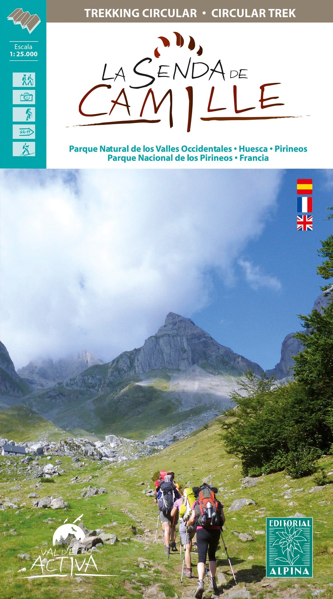
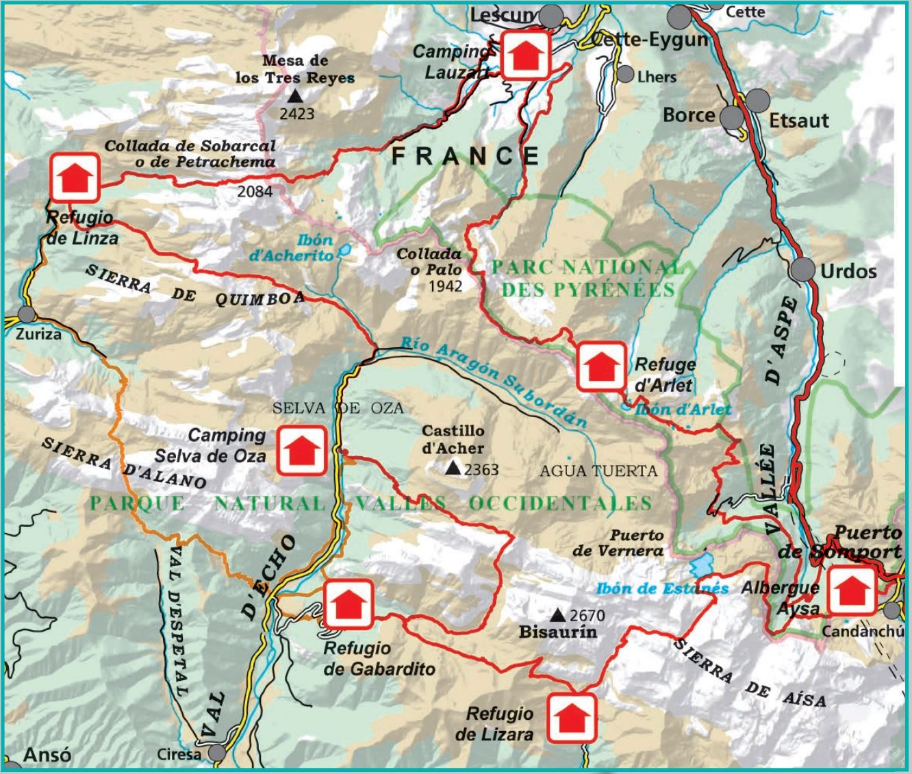
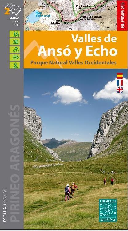
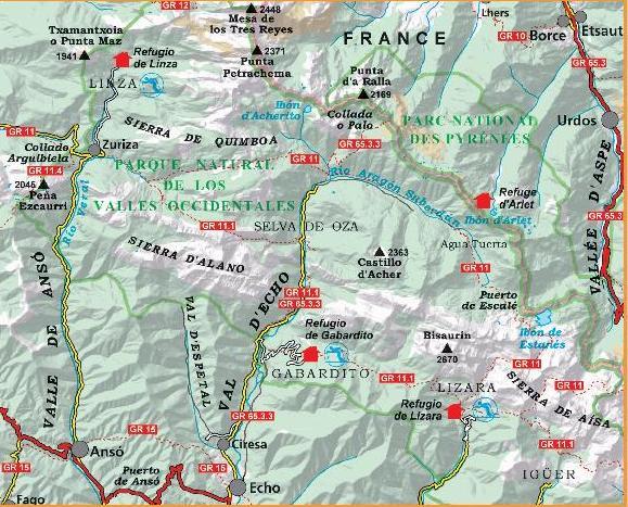
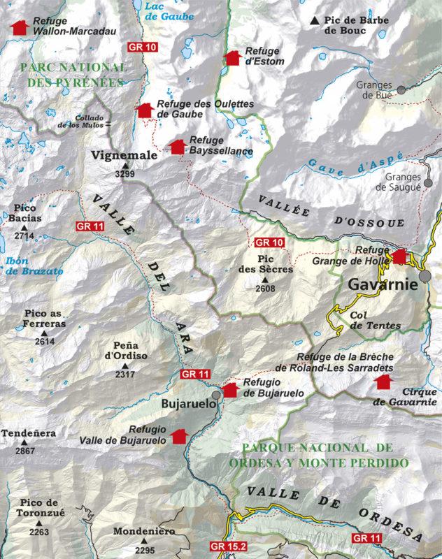
The Senda de Camille is a 104 km circular route exploring the whole of the Western Valleys Natural Park on the Aragonese side of the Pyrenees and the French Pyrenees National Park in the Aspe Valley.

Throughout history, despite the border separating them, local people created paths to share the mountain summer pastures. They also used them to barter or smuggle goods, hunt, seek work, take shelter during wars, or visit relatives who had emigrated and friends.

The map includes:

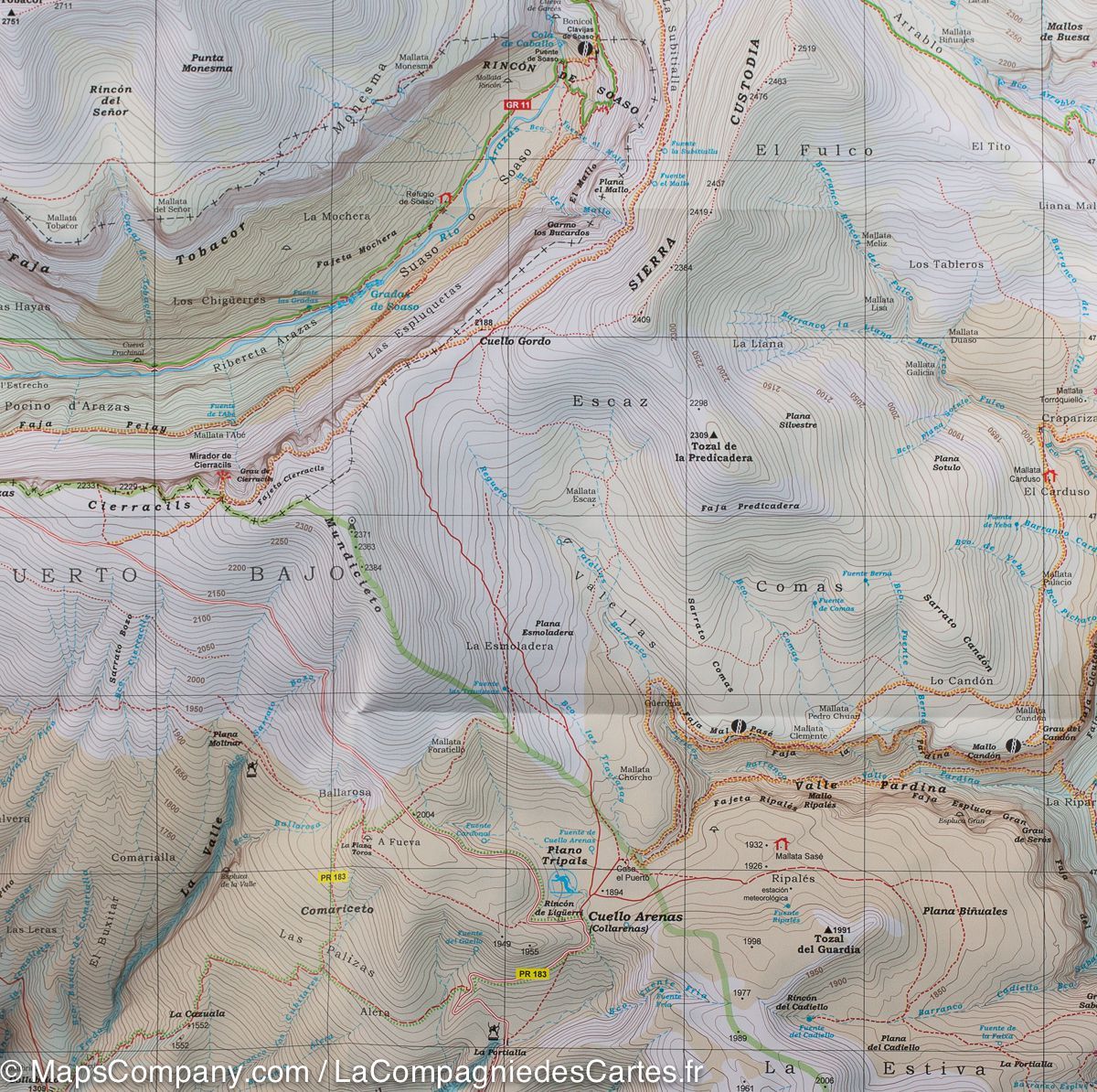
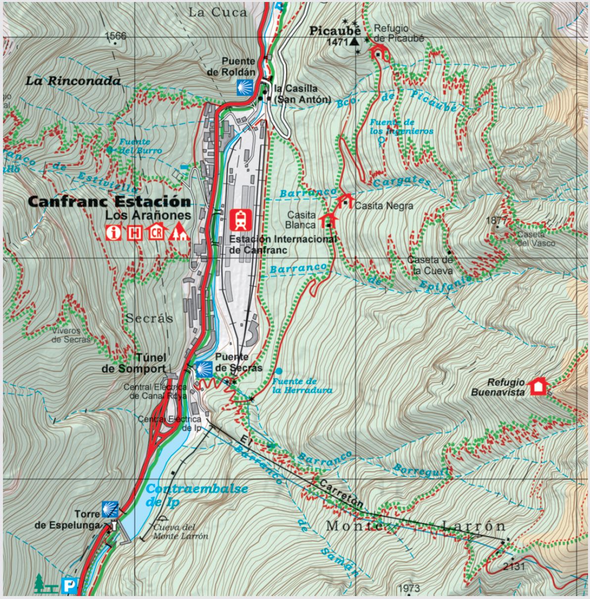
  • Topography shown through hill shading and contour lines.
  • Hiking trails.
  • Cabins, campsites and mountain huts.
  • Roads, tracks and parking areas.
  • GPS compatibility.


ISBN/EAN : 9788480909822
Publication date: 2023
Scale: 1/25,000 (1cm=250m)
Printed sides: front
Folded dimensions: 21 x 12.5cm
Unfolded dimensions: 98 x 68cm
Language(s): French, Castilian, English
Weight: 170 g