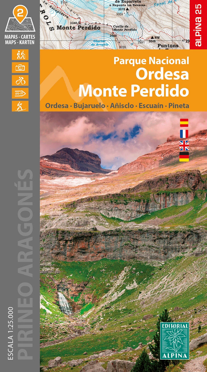
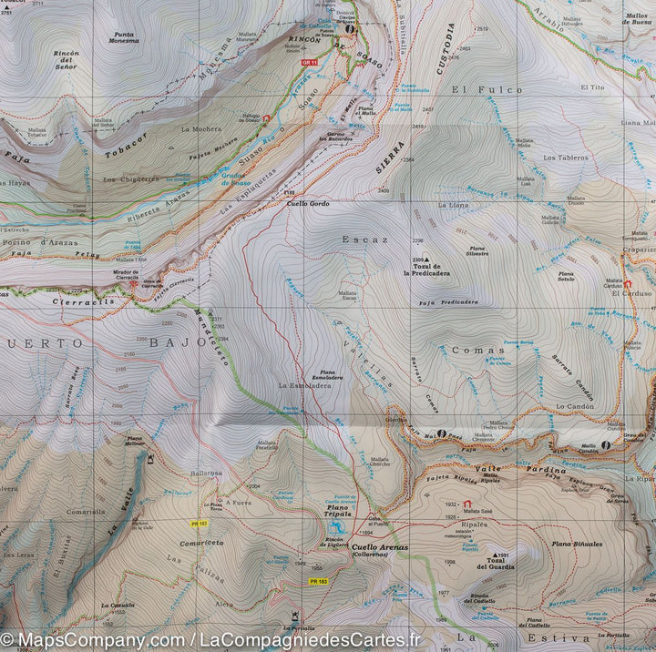
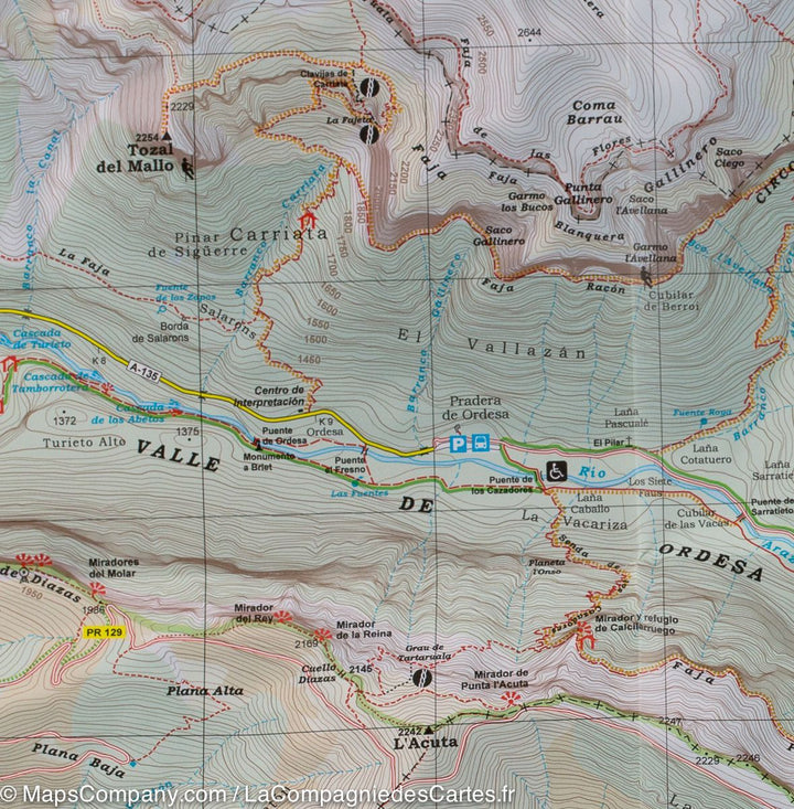
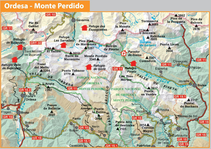
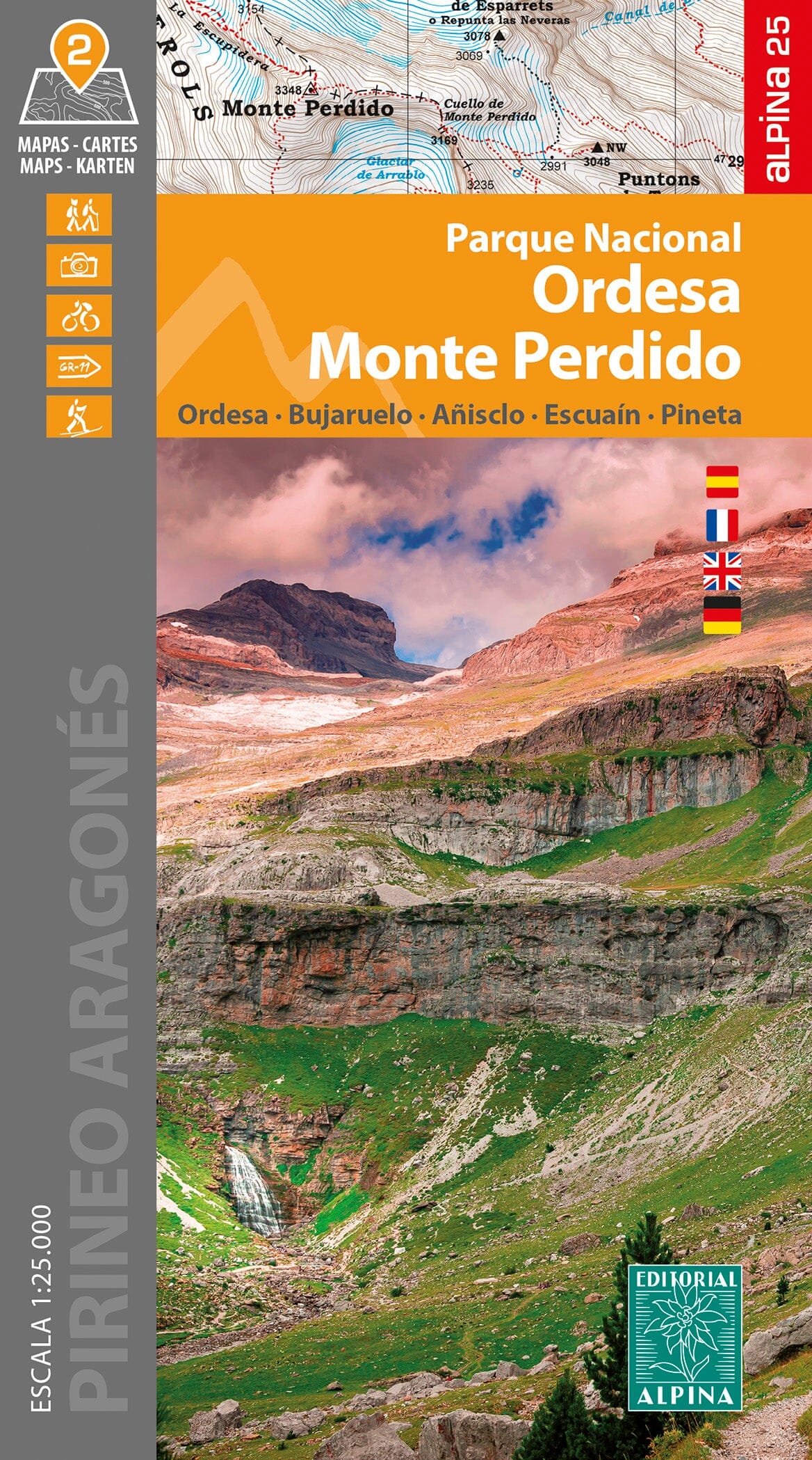
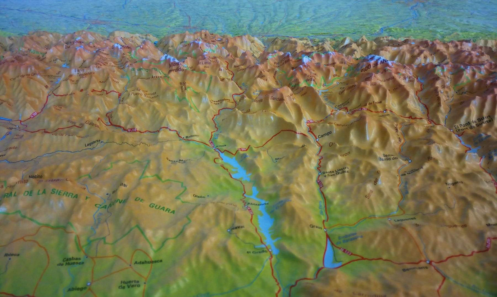
Detailed topographic maps of the Ordesa National Park and Mountain Region.
Map area : Ordesa National Park Monte Perdido.
Pyrenees Aragonese. Sobrarbe. Ordesa Valley area, Pineta,
Añisclo, Gavarnie and Mont - Lost.
This lot includes two distinct Hiking maps: one covers the Vallée Ordesa and the Mount lost and the other the Anisclo Valley and the Pineta Valley.
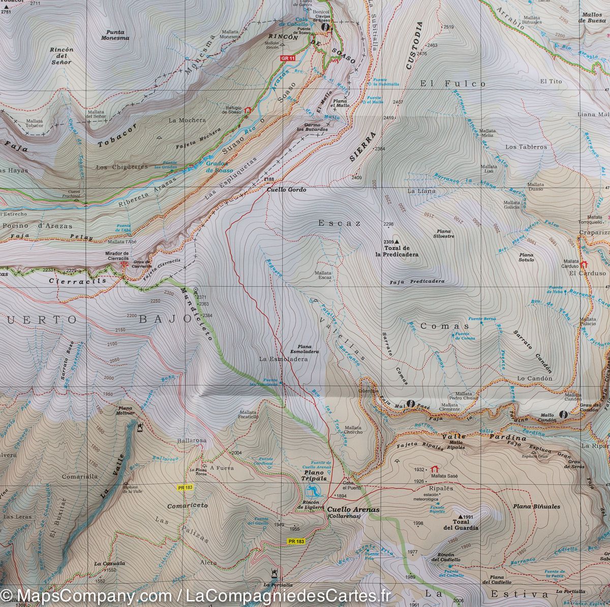
Map features : Topographic map with Interest information for hikers: shelter, marked trails (gr, Pr, local trails), mountain trails, etc.
- detailed legend.
- GPS compatible.
- Refuges kept and shelters
- Information offices of the National Park
- Addresses of interest
Detailed maps, published by Editorial Alpina, are impermeable, in color with the level curves and indicate the hiking trails.
All is protected by a laminated case.


