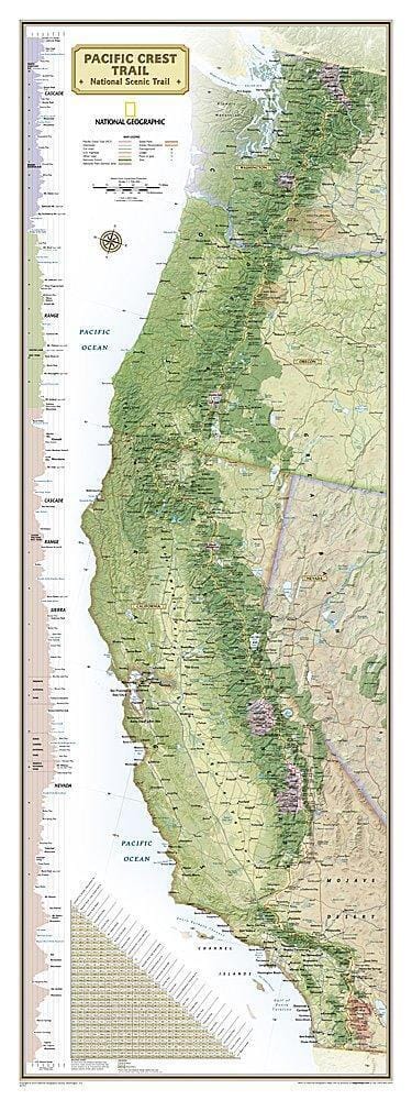
Waterproof road map of the Pacific Coast Trail (PCT) published by ITM.
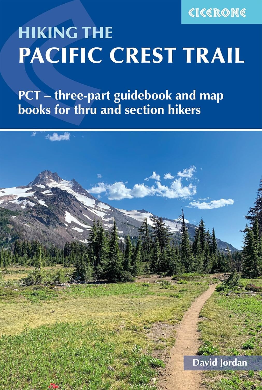
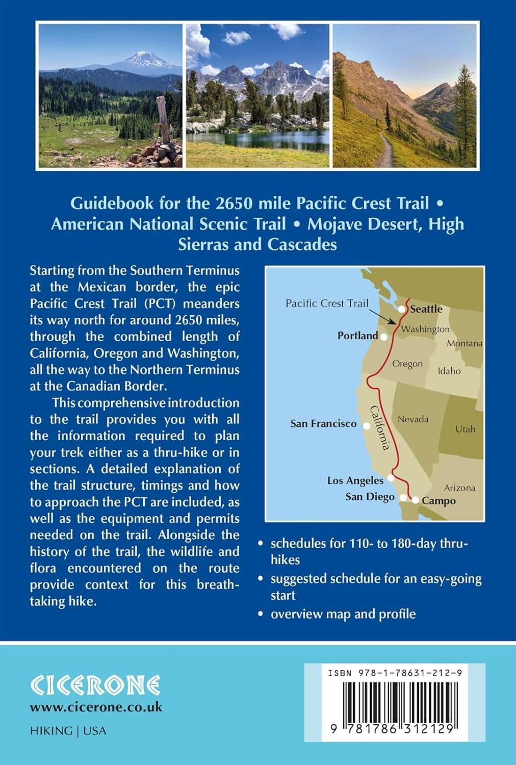
The United States has several long-distance hiking trails, of which the Pacific Crest Trail is probably the longest. Stretching from east of San Diego north through the states of California, Oregon, and Washington, all the way to the Canadian border, this hiking trail is not for the faint of heart! It follows the ridge, or upper reaches, of various mountain ranges, passes through several national parks, and ends in Manning Provincial Park in Canada.
This is an overview map, not suitable for practical daily travel, but it is the only map to show the entire trail.
However, there is one restriction: for safety reasons, the portion of the trail between Canada and the United States is blocked. This is unfortunate, because one of the most interesting segments lies just south of the Canadian border, with elevations exceeding 6,000 feet. This means that anyone wishing to hike this part of the trail can start on Highway 20 in Washington State but must return to their starting point. Similarly, those starting at Manning Park Lodge can head south to the border but must retrace their steps. Furthermore, there are no convenient legal crossings; the closest being Sumas Crossing to the west. Nevertheless, this 1,600-mile / 2,000-km trail is an unparalleled adventure for outdoor enthusiasts.