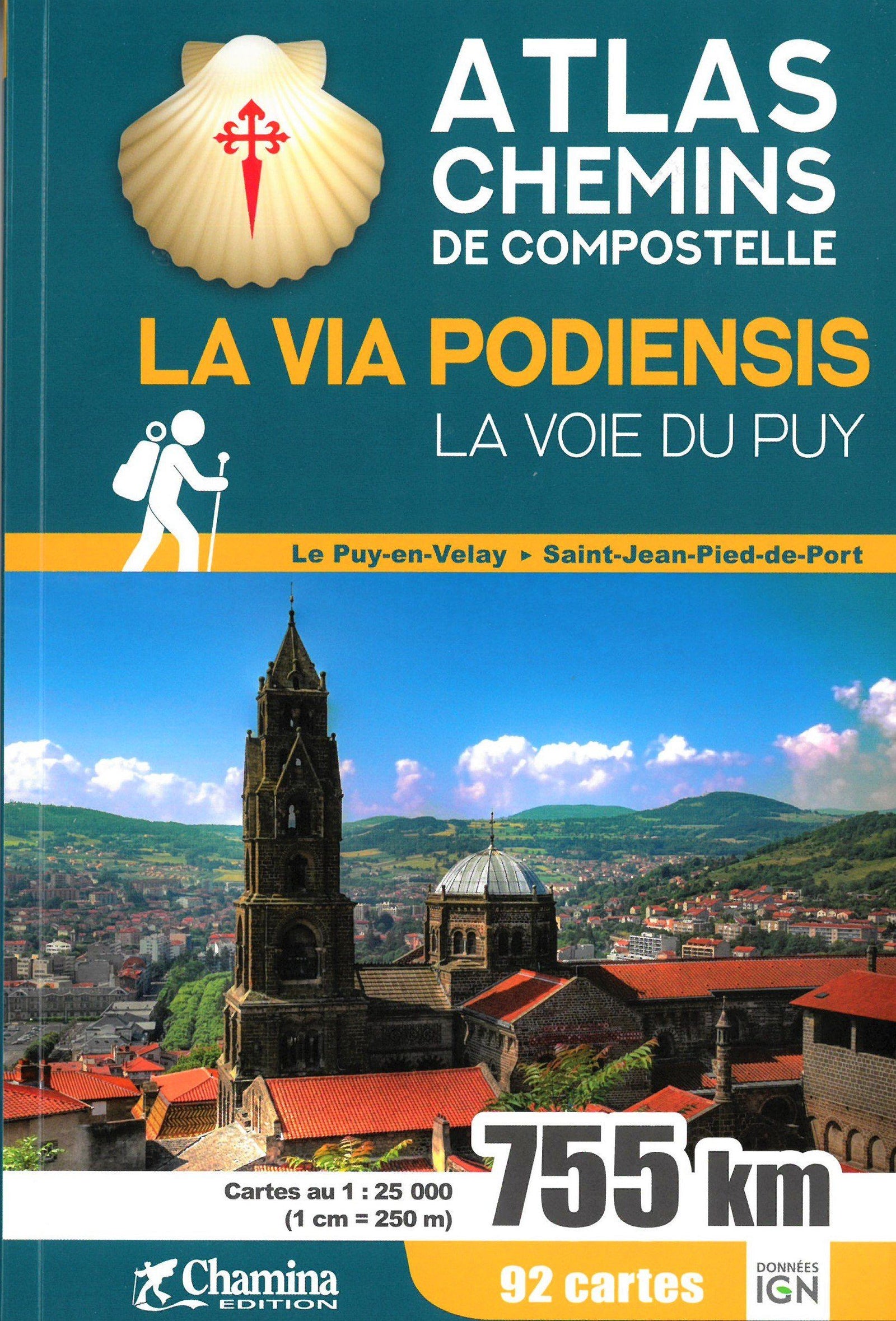
Camino de Santiago atlas - Via Podiensis: the Le Puy Route | Chamina

Price
Regular price $1800
Regular price Sale price $1800
/
  • Shipped within 24 to 48h from our warehouse in France
  • All-inclusive price: customs duties are already paid by Cartovia
  • Free returns (*)
  • Real-time stock levels
  • Cartovia Guarantee – Delivery issue?
    We resend immediately upon receiving a simple photo.
  • Low stock - 1 item left
  • Backordered, shipping soon
Tax included.

Frequently bought together:

This atlas of detailed maps covers the entire Via Podiensis.

The route

The best-known Camino de Santiago route in France runs for 755 km between Le Puy-en-Velay and Saint-Jean-Pied-de-Port. It crosses richly varied landscapes, from the volcanic Velay to the Pyrenees, via the vast Aubrac plateau, the beautiful Lot Valley and Quercy.

Its cultural and religious heritage includes Le Puy Cathedral at the start, followed by sites such as the abbey churches of Conques and Moissac.

The atlas

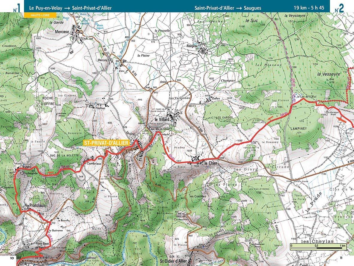
Compact, practical and easy to handle, the atlas contains the complete Via Podiensis route on IGN base mapping at 1:25,000.

  • 92 highly detailed maps.
  • Useful both on the trail and at home.
  • The itinerary divided into 33 stages.
  • All 755 km of the route highlighted.
  • Eight French departments crossed: Haute-Loire, Lozère, Aveyron, Lot, Tarn-et-Garonne, Gers, Landes and Pyrénées-Atlantiques.
  • Size: 14 x 21 cm.
  • 176 pages.

The only atlas to present the entire route mapped at 1:25,000 in a single volume.


ISBN/EAN : 9782844665096
Publication date: 2019
Pagination: 175 pages
Folded dimensions: 21x14cm
Language(s): French
Weight: 300 g