Carte de randonnée n° 818 - Bend et Three Sisters (Oregon) | National Geographic carte de randonnée National Geographic

Hiking map no. 818 - Bend and Three Sisters (Oregon) | National Geographic

Price
Regular price $1495
Regular price Sale price $1495
/
  • In stock in the USA and in the UK
    Shipped within 24 to 48h from the warehouse closest to you
  • Free returns (*)
  • Real-time stock levels
  • Cartovia Guarantee – Delivery issue?
    We resend immediately upon receiving a simple photo.
  • In stock, ready to ship
  • Backordered, shipping soon
Tax included.

Frequently bought together:

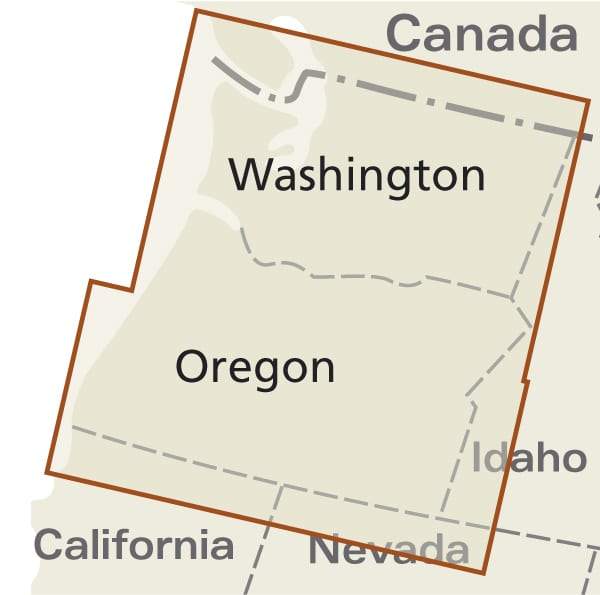
Area identified in the product title: Bend and Three Sisters (Oregon).

National Geographic's Trails Illustrated map of Bend and Smith Rock is a durable, detailed, double-sided topographic map designed for outdoor enthusiasts.

Created with local land management agencies, it includes valuable recreation information. Trails Illustrated maps are expertly researched and frequently updated. Printed in the United States on durable synthetic paper, they are waterproof, tear-resistant and tough enough for the trail.

Key features include:

  • Waterproof and tear-resistant construction.
  • Clearly marked trails for hiking, cycling, horse riding, mountain biking and more.
  • Detailed topography and clearly defined, colour-coded boundaries of state parks, national recreation areas, wilderness areas, marine sanctuaries and wildlife refuges.
  • Hundreds of points of interest, including scenic viewpoints, campsites, boat launches and canoe portages.


ISBN/EAN : 9781566956628
Publication date: 2019
Folded dimensions: 9.45 x 4.33 inch / 24 x 11cm
Unfolded dimensions: 24.41 x 36.61 inches / 62 x 93cm
Language(s): English
Weight: 3.2 oz