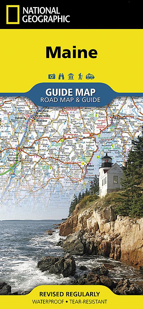
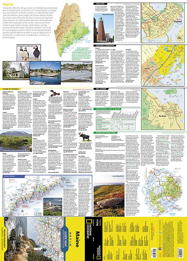
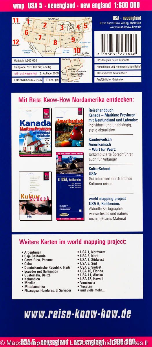
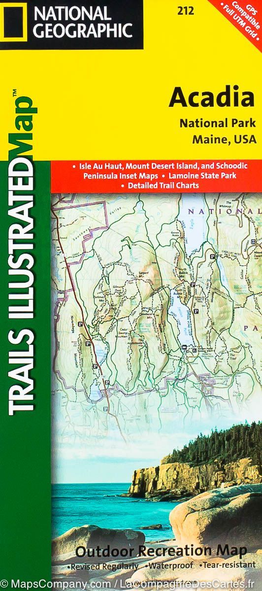
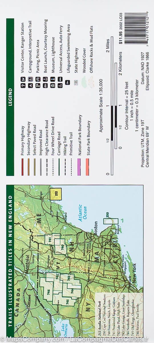
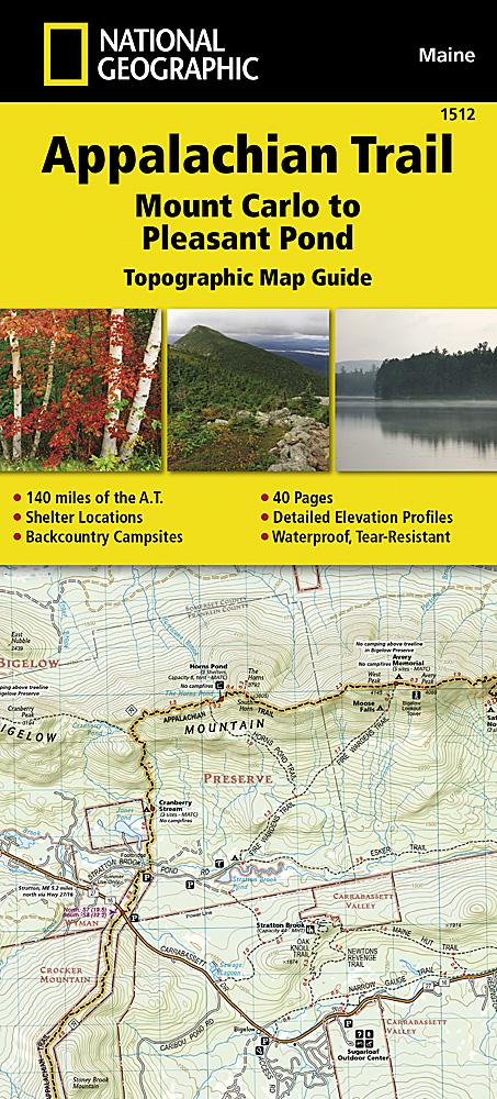
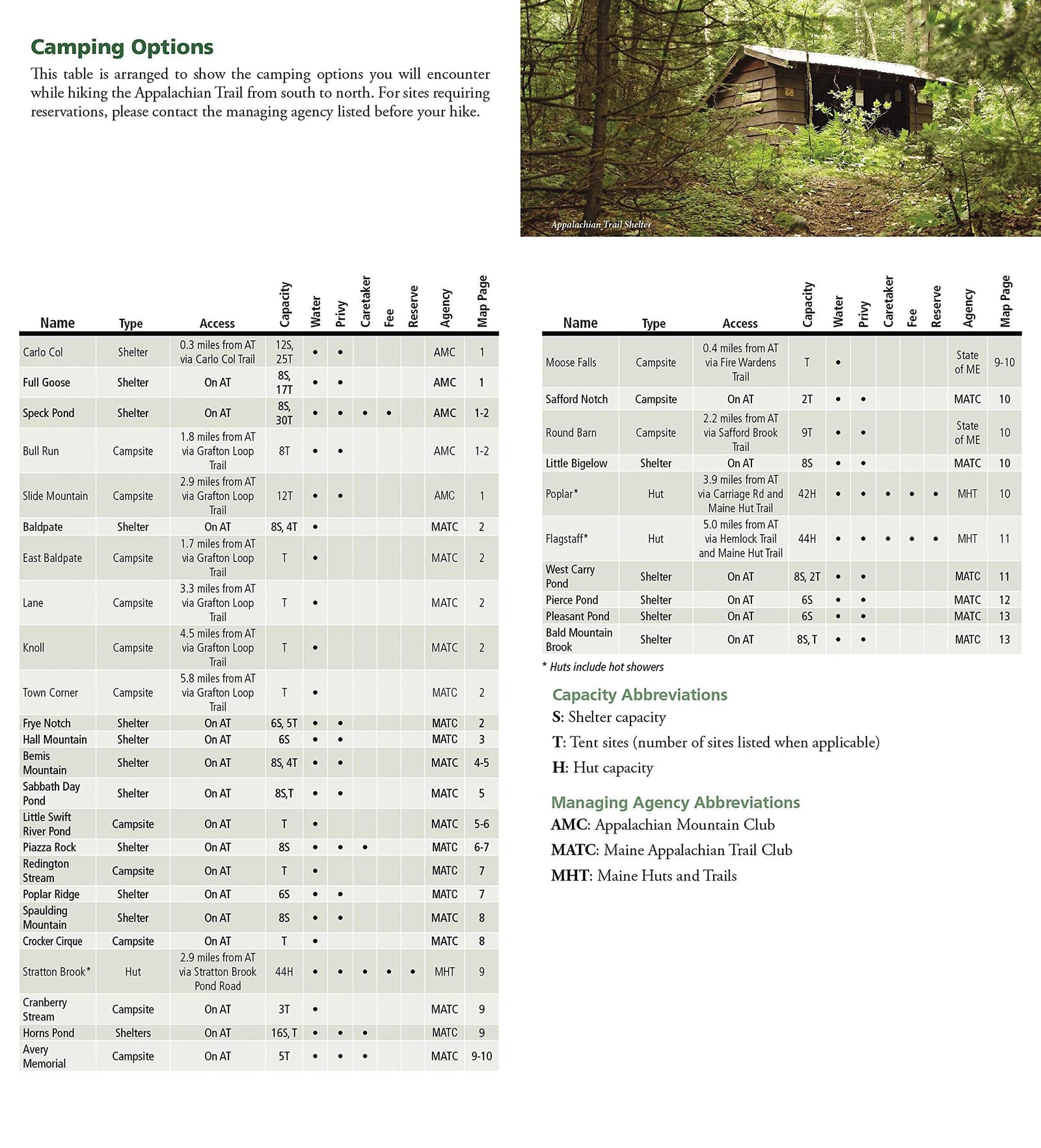
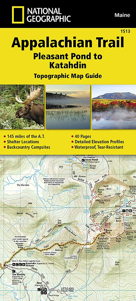
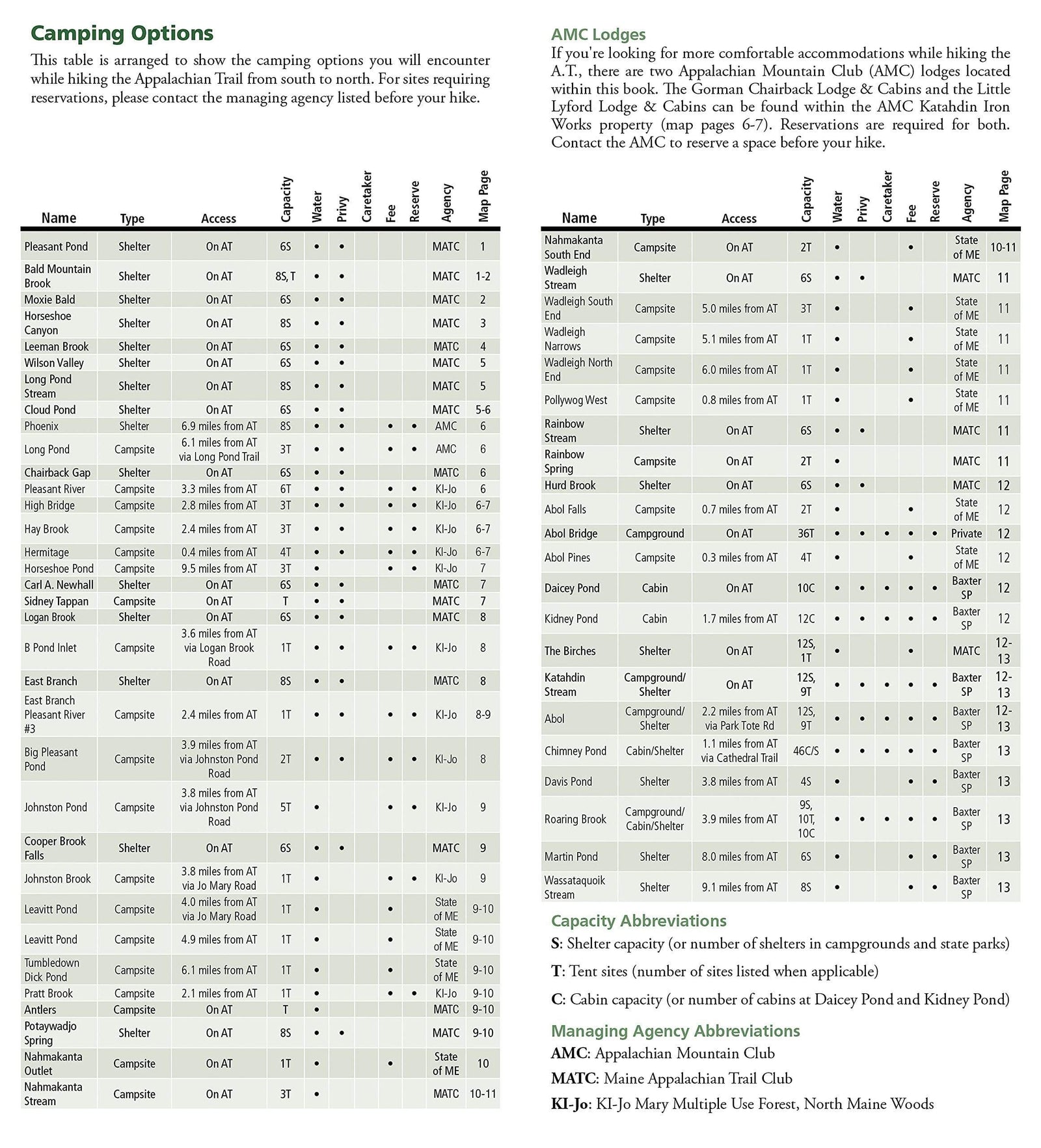
National Geographic's Recreational Maps (TI 400 and 401) of the Allagash Wilderness Waterway are double-sided, waterproof maps designed to meet the needs of outdoor enthusiasts and tourists. Divided into two separate maps for exceptional detail, they both contain valuable information such as watercraft regulations, recreational use and access rules, river difficulty scale, checkpoints, visitor and ranger station locations, and more. A UTM and Latitude/Longitude grid, as well as a compass rose and scale bar, will keep you headed in the right direction. Year-round activities abound in the area, and the locations of scenic overlooks, wildlife viewing, boat and canoe launches, lookout towers, amphitheaters, mountain bike trails, and other points of interest are clearly marked, as are park and forest boundaries and access points. Campers will appreciate the attention paid to indicating the variety of camping facilities available, including primitive campsites, gr
on playgrounds, and athletic fields.


