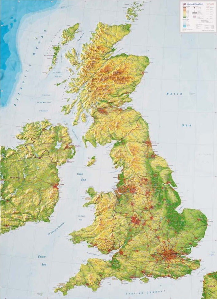
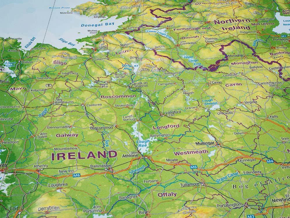
Carte de l'Angleterre médiévale de 1979 carte murale roulée (en tube) National Geographic Historic POD Default Title

Map of medieval England from 1979

Price
Regular price $4300
Regular price Sale price $4300
/
  • Shipping within 48 business hours from our warehouse in the USA. For this product, customs fees may be requested by the carrier upon delivery.
  • Choose your delivery method and cost at checkout, before confirming your order.
  • Free returns (*)
  • Real-time inventory
  • In stock, ready to ship
  • Backordered, shipping soon
Tax included.

Often purchased together:

This map of medieval England contains a wealth of historical information and sites, as well as beautiful illustrations. Published in October 1979, it accompanies the modern "British Isles" map.


ISBN/EAN : 2321496M
Publication date: 1979
Unfolded dimensions: 22.75in / 29.25in
Language(s): English
Weight: 200 g