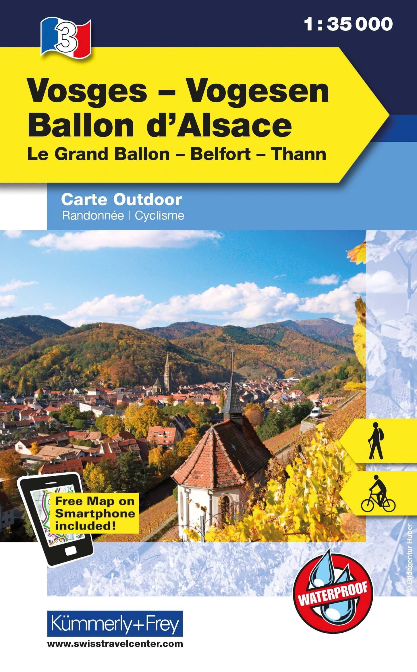
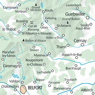
Hiking map - Alsace and the Southern Vosges (Colmar, Mulhouse)
Set of 2 maps | Scale 1:50,000 | Kompass
This Kompass hiking map set covers the whole Alsace - Southern Vosges region, including the areas around Colmar and Mulhouse. It is a comprehensive tool for exploring on foot, by bike or through other outdoor activities, with accurate mapping and a wealth of practical information.
The maps show all waymarked hiking trails, including long-distance routes with their names and numbers, as well as cycle paths, via ferrata routes, cross-country skiing trails, ski touring routes and more. They also show mountain huts and inns, car parks, springs, transport routes, swimming spots and natural and tourist attractions.
Clear terrain representation, contour lines, vegetation and shading make the landscape easy to read and understand, providing excellent support for planning routes and navigating on the ground.
The set contains 2 maps for extensive coverage, printed at a scale of 1:50,000 (1 cm = 500 m). The same map area is also available digitally in the Kompass-Wanderkarten app for offline use.
An ideal companion for hikers, cyclists and nature lovers wishing to explore the Southern Vosges and Alsace freely.