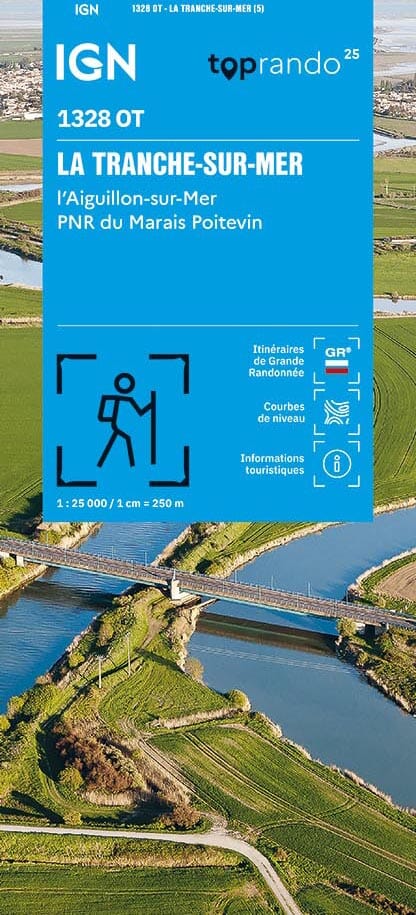
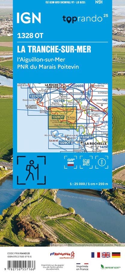
TOP 25 topographic map n° 1328OT of La Tranche-sur-Mer, l'Aiguillon-sur-Mer and the Marais Poitevin Regional Natural Park published by IGN.
This hiking map offers contour lines spaced 10 meters apart and a detailed legend (vegetation, rocks, communication routes down to the smallest path, buildings up to the shed, woods, isolated trees, rivers, springs, etc.).
Marked trails and tourist information are indicated. Scale 1:25,000 (1 cm = 250 m).
Municipalities covered: Saint-Vincent-sur-Jard, Saint-Hilaire-la-Forêt, Saint-Benoist-sur-Mer, Saint-Michel-en-l'Herm, Saint-Denis-du-Payré, Cranes, Saint-Michel-en-l'Herm
Places to discover: Poitevin Marsh Regional Natural Park, Pertuis Breton, Grouin du Cou Point, Arçay Point, Whale Point, Chassiron Point, Former Lieu-Dieu Abbey, Brunière, Grand Bouillac Dolmen, Guignardière Castle, Granges-Cathus Castle, G. Clemenceau House, St-Denis-du-Payré Nature Reserve


