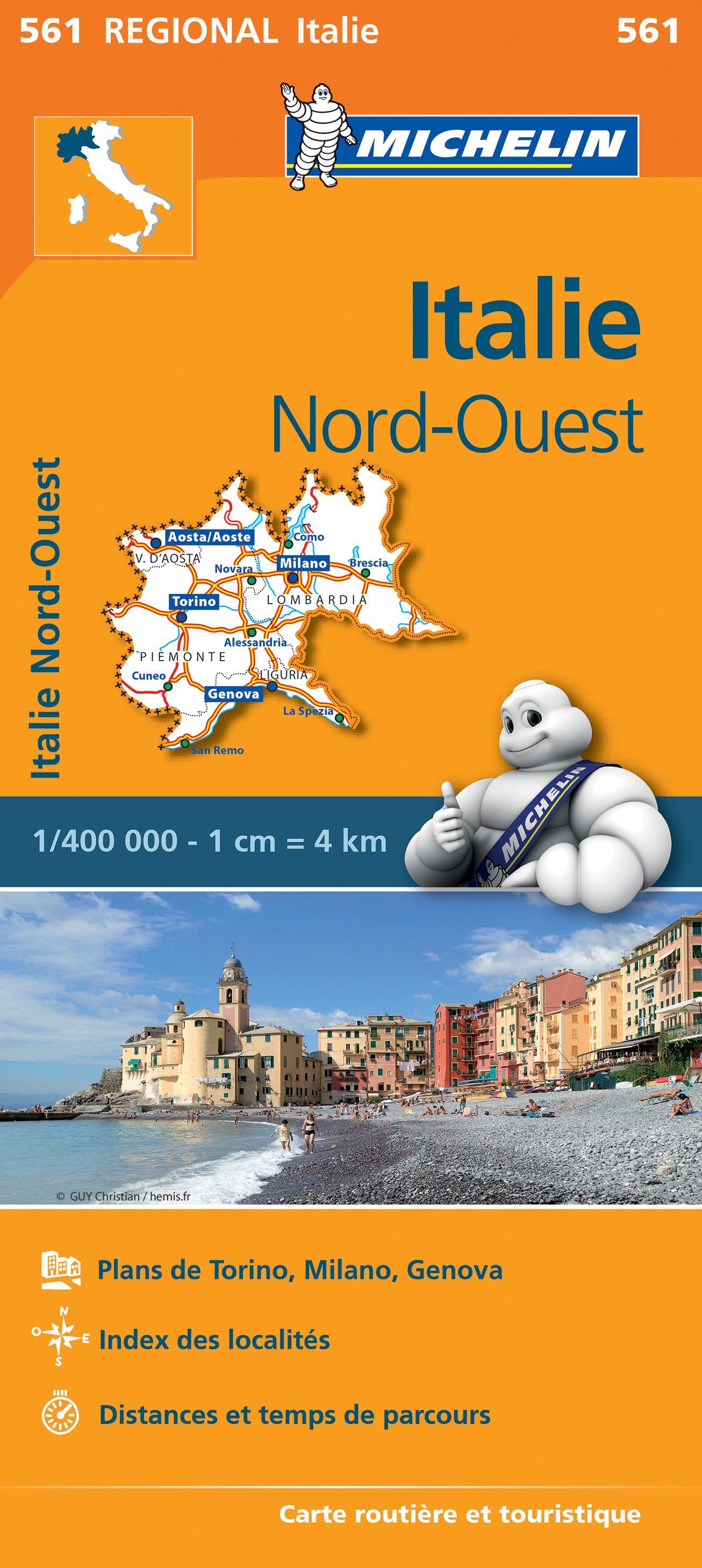
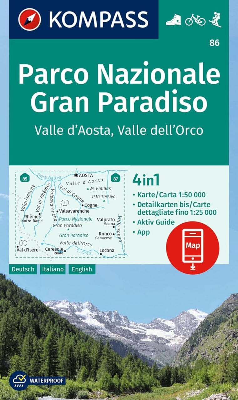
Hiking map No. 105 - Sestriere - Claviere - Prali - Val Chisone - Val di Susa - Val Germanasca - Valle del Thuras | Istituto Geografico Centrale

Price
Regular price $2100
Regular price Sale price $2100
/
  • Ships within 48 business hours from our US warehouse. Customs charges may apply for deliveries outside the United States
  • Free returns (*)
  • Real-time inventory
  • Cartovia Guarantee – Delivery issue?
    We resend immediately upon receiving a simple photo.
  • In stock, ready to ship
  • Backordered, shipping soon
Tax included.

Often purchased together:

This is a highly detailed topographic hiking map that covers popular trekking spots along the Italian-French-Swiss border, including Sestriere, Claviere, Prali - Val Chisone, Val di Susa, Val Germanasca, and Valle del Thuras.

This map is overlaid with extensive hiking information, such as trails, overnight huts, tourist huts, caves, grottoes, and more. The legend is multilingual, while the map itself is only in Italian. Contour intervals of 25 meters.


ISBN/EAN : 9788896455579
Publication date: 2016
Unfolded dimensions: 85 x 112cm
Language(s): French, English, German, Italian
Weight: 100 g