IGN Blue Series hiking map No. 3034 - Serrières, Anneyron

Price
Regular price $1700
Regular price Sale price $1700
/
  • Ships within 5 to 8 working days
    (Currently in transit to our warehouse in France)
  • Cartovia Guarantee – Delivery issue?
    We resend immediately upon receiving a simple photo.
Tax included.

Often purchased together:

The Serrières, Anneyron area is covered by this IGN Blue Series No. 3034 hiking map.

  • Reference stated in the description: 3034SB.

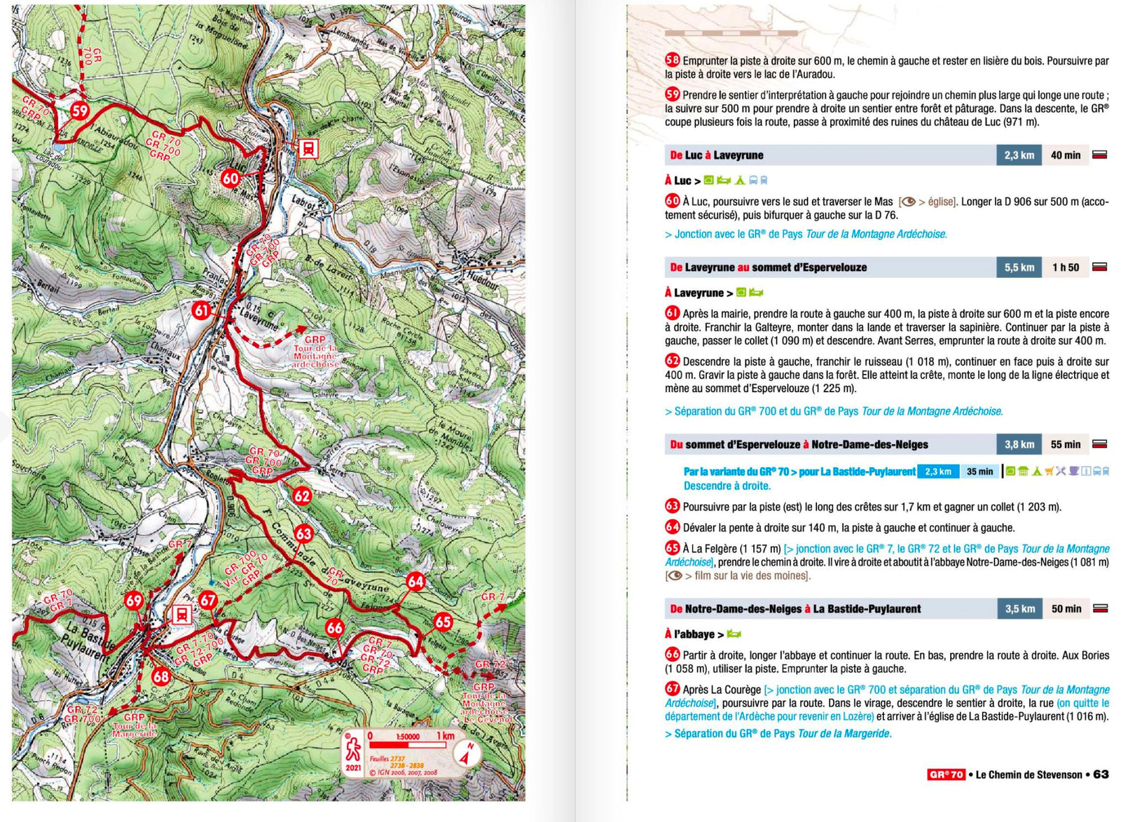
This highly accurate topographic mapping shows every detail on the ground:

  • Transport routes down to the smallest paths.
  • Buildings, including individual sheds.
  • Woodland, isolated trees, rivers and springs.

Contour lines show the terrain.

  • Waymarked trails and tourist information are also shown.

Municipalities covered: Serrières, Anneyron, Le Péage-de-Roussillon, Bougé-Chambalud, Sablons, Beaurepaire, Pact, Salaise-sur-Sanne, Anjou, Agnin, Chanas, Jarcieu, Sonnay, Thorrenc, Maclas, Fay-le-Clos, Châteauneuf-de-Galaure, Lapeyrouse-Mornay, La Motte-de-Galaure, Hauterives, Montchenu.

Places to discover: Pilat Nature Park, Roche Péréandre, Défilé de la Deûme, Valuze Castle, Palais Idéal du Facteur Cheval, Tour d'Oriol, Tombeau romain, Gourdan, Île de la Platière Nature Reserve, Tour des Pénitents, le Molard, Safari de Peaugres, Tour d'Albon.


ISBN/EAN : 9782758558071
Publication date: 2026
Scale: 1/25,000 (1cm=250m)
Folded dimensions: 22 x 11cm
Unfolded dimensions: 96 x 121cm
Language(s): French, English, German
Weight: 89 g