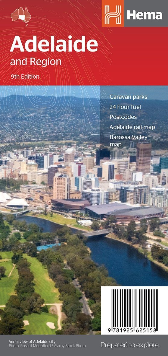
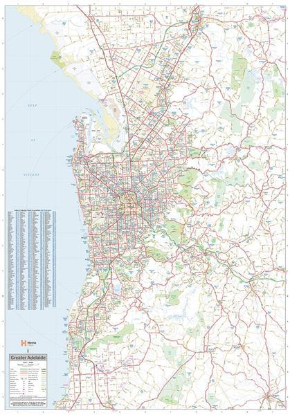
This map is part of Hema's new Nullarbor Plain map series (East and West) and covers Border Village to Port Pirie, including the Eyre Peninsula.
Truly one of the world's greatest adventure drives, Australia's semi-arid Nullarbor Plain stretches some 1,256 kilometers (781 miles) via the Eyre Highway, connecting the cities of Adelaide and Perth (or vice versa, depending on your direction). The length of this journey is so great that we had to stretch it across two maps: the East from Port Pirie to Border Village in South Australia, and the West from Border Village to Kalgoorlie.
Indicates camping areas, points of interest, and more.


