Road map - South East New South Wales (Australia) | Hema Maps

Price
Regular price $1900
Regular price Sale price $1900
/
  • Shipped within 24 to 48h from our warehouse in France
  • All-inclusive price: customs duties are already paid by Cartovia
  • Free returns (*)
  • Real-time stock levels
  • Cartovia Guarantee – Delivery issue?
    We resend immediately upon receiving a simple photo.
  • In stock, ready to ship
  • Backordered, shipping soon
Tax included.

Frequently bought together:

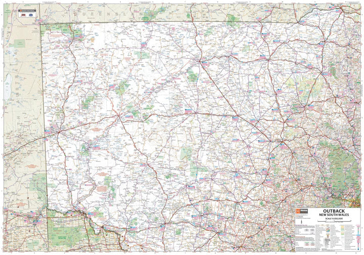
The South East New South Wales regional map by Hema Maps extends from Wollongong to the Victoria border, reaching Gundagai and beyond Jindabyne to the west.

It covers Illawarra, Jervis Bay and Shoalhaven, Batemans Bay, Canberra and its surroundings, Merimbula and the Sapphire Coast, the Southern Highlands, the Goulburn region and the Snowy Mountains.

Distances are marked on the map. Tourist information includes national parks and accommodation, together with a distance table.

On the reverse, detailed information presents the sights of many New South Wales regions, with tourist, historical and background information.


ISBN/EAN : 9781925625967
Publication date: 2014
Scale: 1/385,000 (1cm=3.85km)
Printed sides: both sides
Folded dimensions: 25 x 14 x 0.3cm
Unfolded dimensions: 100x70cm
Language(s): English
Weight: 80 g