Cartes de randonnée - Appalachian Trail : Georgia, North Carolina, Tennessee (lot de cartes) | National Geographic carte de randonnée National Geographic

Hiking maps - Appalachian Trail : Georgia, North Carolina, Tennessee (map pack) | National Geographic

Price
Regular price $2495
Regular price Sale price $2495
/
  • In stock in the USA and in the UK
    Shipped within 24 to 48h from the warehouse closest to you
  • Free returns (*)
  • Real-time stock levels
  • Cartovia Guarantee – Delivery issue?
    We resend immediately upon receiving a simple photo.
  • In stock, ready to ship
  • Backordered, shipping soon
Tax included.

Frequently bought together:

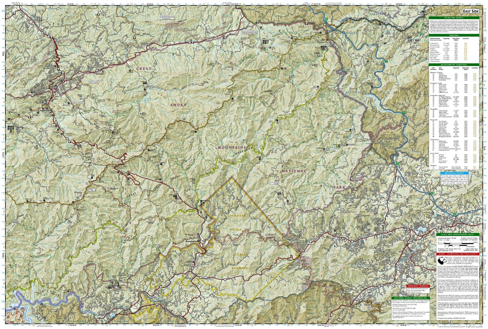
The Appalachian Trail: Georgia, North Carolina and Tennessee map pack contains two topographic map guides. They cover the Appalachian Trail (AT) from its southern terminus at Springer Mountain to the place named Damasus in the supplied description, on the Tennessee-Virginia state line.

This southernmost part of the AT includes some of the trail's most physically demanding yet rewarding hiking, including a section of more than 70 miles through Great Smoky Mountains National Park.

Each guide provides detailed maps at 1 inch = 1 mile. Pages are centred on the AT and overlap adjacent pages to make navigation easier. A profile at the bottom of each page shows distances between shelters, camping areas and trail access points. Together, the map and profile provide step-by-step, mile-by-mile visual guidance.

The guide is designed for hikers of all abilities, including day walkers.


ISBN/EAN : 9781566958370
Publication date: 2020
Folded dimensions: 9.38 inches x 4.25 inches (23 x 10 cm)
Language(s): English
Weight: 3.0 oz