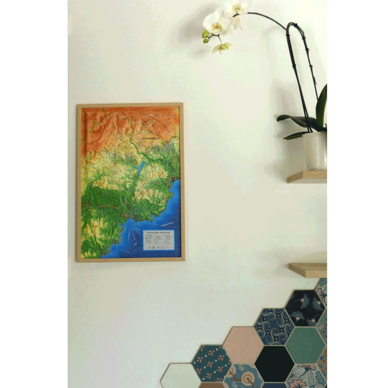
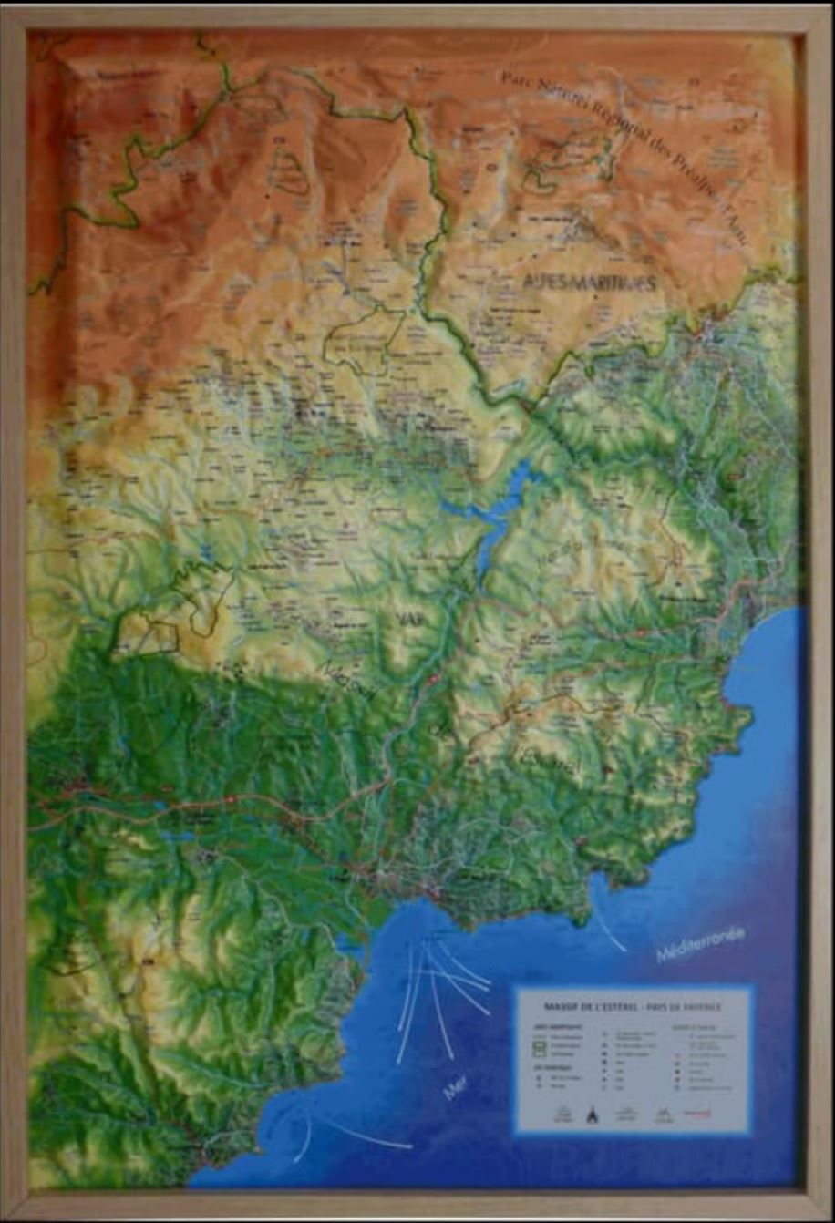
This stunning relief wall map covers the Estérel mountain range and Pays de Fayence area, nestled between Provence and the Mediterranean coast. It includes detailed information on natural features, cultural landmarks, and outdoor activities.
Discover picturesque "most beautiful villages of France", UNESCO heritage sites, historic monuments, and enjoy marked trails for hiking, biking, canyoning, via ferrata, paragliding, and more.
An optional frame is available for easier wall mounting and visual enhancement.
Map features:
-
Hydrological, natural, and hypsometric data
-
Cultural and historical sites: museums, castles, listed villages, natural wonders
-
Outdoor activity markers: GR trails, other routes, climbing, canyoning, via ferrata, paragliding
-
Airports and airfields
📐 Scales:
-
Planimetric: 1:90,000
-
Altimetric: 1:50,000
📏 Size: 41 x 61 cm