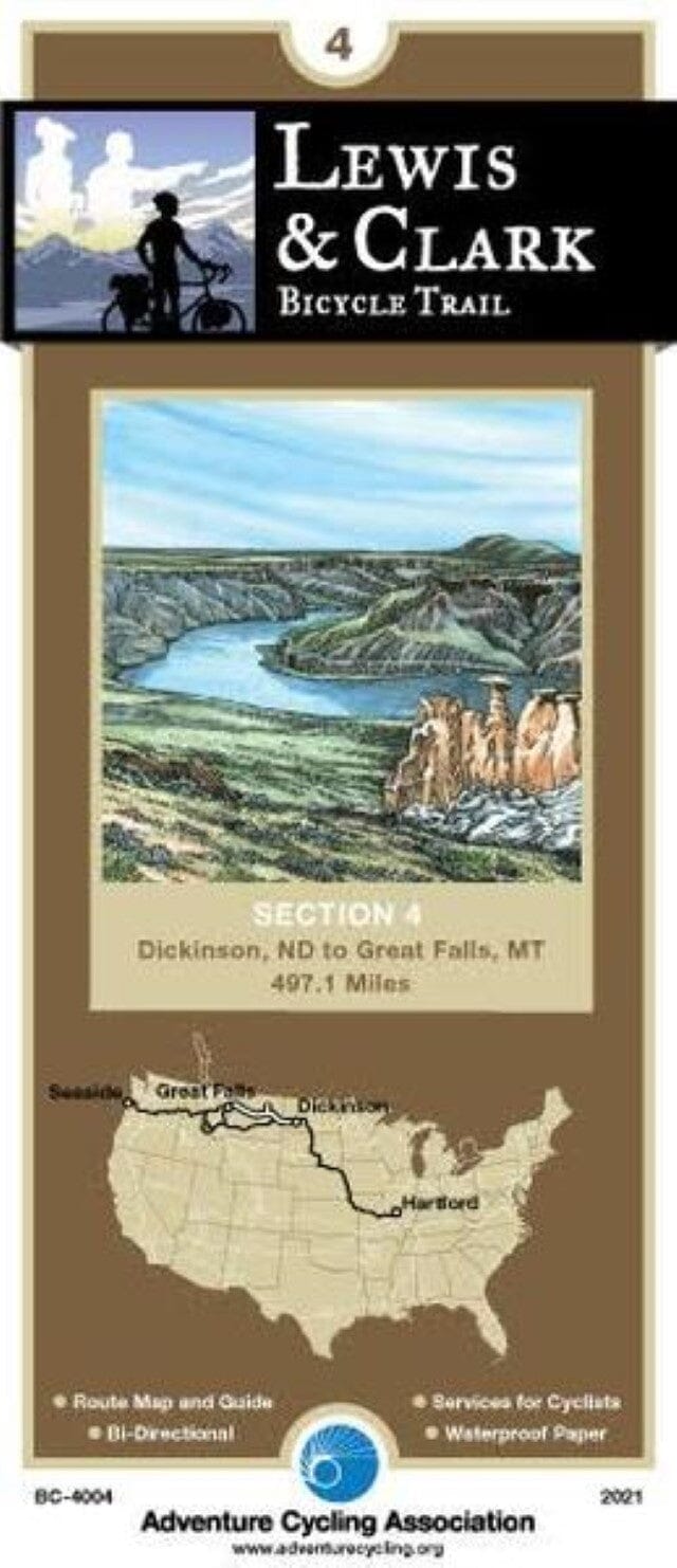
The fourth section of the Lewis & Clark Bike Trail begins in Dickinson, North Dakota
The route follows the I-94 corridor, alternating between the freeway and parallel county roads
In eastern Montana it remains south of the Missouri River
This portion of Fort Peck Lake/Missouri River has many additional designations: Charles M.
Russell, the Upper Missouri National Wild and Scenic River and, more recently, the Upper Missouri River Breaks National Monument
There are very few access roads to the river on this section of the map
If you want to take a closer look, ask one of the many guides listed on the map who offer tours
Services are scarce in eastern Montana; you'll want to plan your days accordingly.
The terrain continues to be rolling or undulating; at the end of the section, at Great Falls, you can see the Front Range of the Rockies on the western horizon.
Adventure Cycling maps are created by cyclists, for cyclists, and are among the best available for those seeking discovery and adventure.