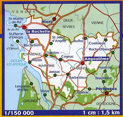
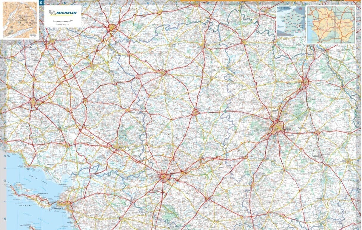
This is a laminated poster version of the IGN hiking map No. 1531.
This highly accurate map contains every detail found on the ground: communication routes down to the smallest trail, buildings down to the shed, woods, isolated trees, rivers, springs... Not to mention the relief representation using contour lines.
Please note that this map is laminated on request, based on the original map, which is folded. The folds remain slightly visible.
The map is delivered rolled in a cardboard tube.
An additional few days are required for the map to be manufactured.
As this product is custom-made at the request of our customers, it cannot be returned.


