Relief wall map - Giens and the Golden Islands - 29.5 x 19.5 cm | 3D Map
- Free returns (*)
- Real-time stock levels
-
Cartovia Guarantee – Delivery issue?
We resend immediately upon receiving a simple photo.
📦 Hard-to-find maps - worldwide shipping
📦 Hard-to-find maps & travel guides - worldwide shipping, 30-day returns
🌞 Summer travel: 20,000+ maps in stock
🌞 Plan your summer: 20,000+ maps and travel guides in stock Details →
✅ Latest editions guaranteed — since 2010
✅ Latest editions guaranteed - 180,000+ travellers equipped since 2010
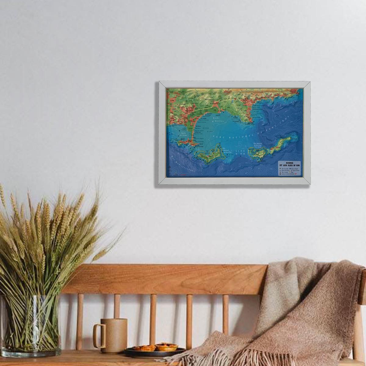
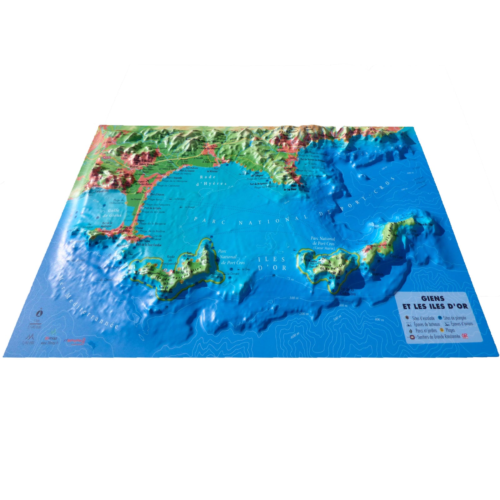
Experience the raised relief wall map of Giens and the Golden Islands (Hyères) by 3D Map, a highly detailed and visually striking representation of one of the Mediterranean’s most beautiful coastal areas. The relief model enhances terrain understanding and adds an elegant decorative touch.
A finishing frame is available as an optional accessory; we strongly recommend it to make hanging easier and to showcase your map.
Hydrological, natural, hypsometric and administrative data
Summits, cultural and religious heritage, parks and gardens
Climbing sites
Beaches
Long-distance hiking trails, GRP routes
Viewpoints and orientation tables
Aircraft wrecks
Shipwrecks
Scuba-diving sites
Hiking trails
Planimetric scale: 1:145,000
Altimetric scale: 1:40,000
Size: 29.5 × 19.5 cm
A perfect map for coastal enthusiasts, hikers, divers and anyone wishing to explore or display this exceptional Mediterranean landscape.
ISBN/EAN
: 9791097206314
Publication date: 2021
Scale: 1/145,000 (1 cm = 1.45 km)
Unfolded dimensions: 29.5cm x 19.5cm
Language(s): French
Weight:
32 g
Perfect
The exclusive newsletter for travel and discovery enthusiasts!