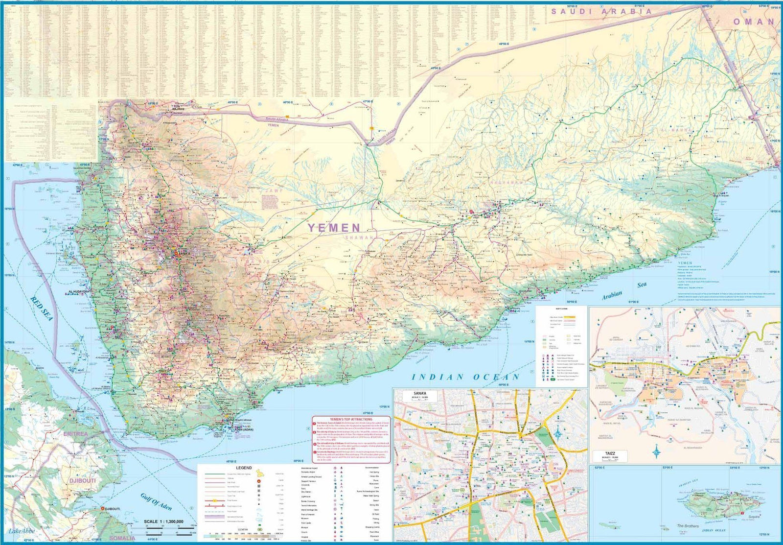
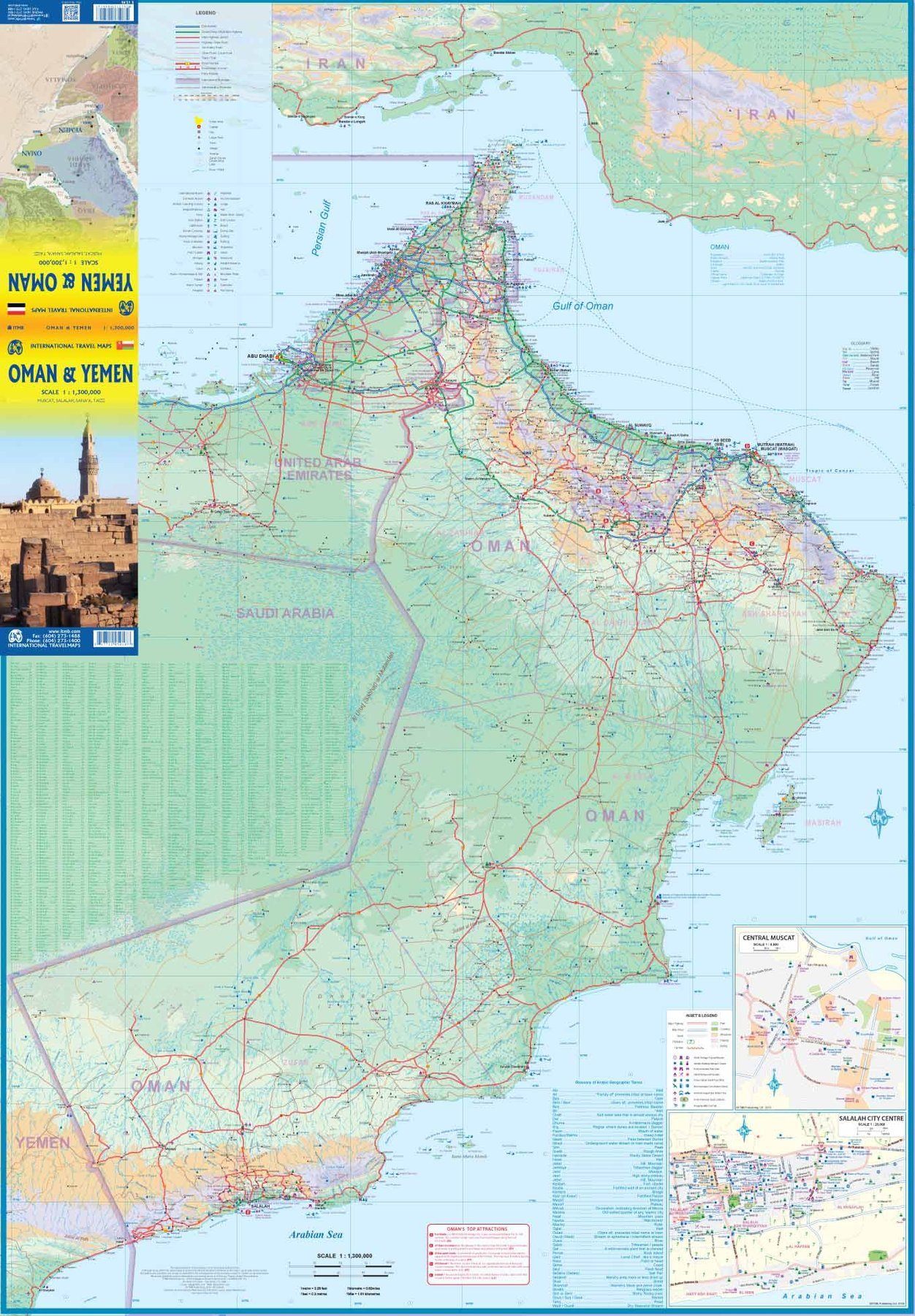
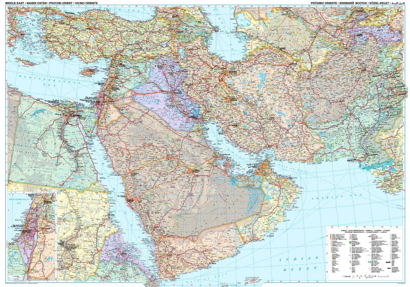
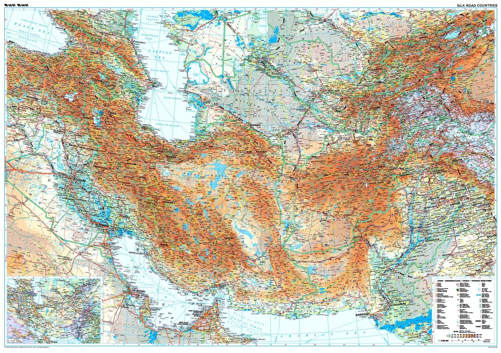
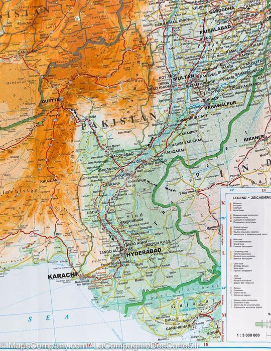
This laminated wall map of Oman and Yemen, published by ITM, is printed on both sides. The front covers Oman and the reverse provides a detailed map of Yemen.
The Oman side includes inset maps of Muscat and Salalah. It shows the road network and crossings into the United Arab Emirates, as well as Oman's two enclaves surrounded by the UAE.
The Yemen side includes inset maps of Sana'a and Taizz, together with a map of Socotra Island. Relief mapping and a place-name index are included, and distances are marked along major roads.
The legend includes road classifications, rivers and lakes, national park, airports, points of interest, mining, motorways, main roads, zoos and fishing.
The map is laminated to order from the original folded version, so the fold lines may remain slightly visible. It is supplied rolled in a cardboard tube, and an additional production time of around one week should be allowed. This product is made to order and cannot be returned.