Relief wall map - Allgäu, Lake Constance - 77 x 57 cm | Georelief
- Real-time inventory
-
Cartovia Guarantee – Delivery issue?
We resend immediately upon receiving a simple photo.
📦 Hard-to-find maps - worldwide shipping
📦 Hard-to-find maps & travel guides - worldwide shipping, 30-day returns
🌞 Summer travel: 20,000+ maps in stock
🌞 Plan your summer: 20,000+ maps and travel guides in stock Details →
✅ Latest editions guaranteed — since 2010
✅ Latest editions guaranteed - 180,000+ travellers equipped since 2010
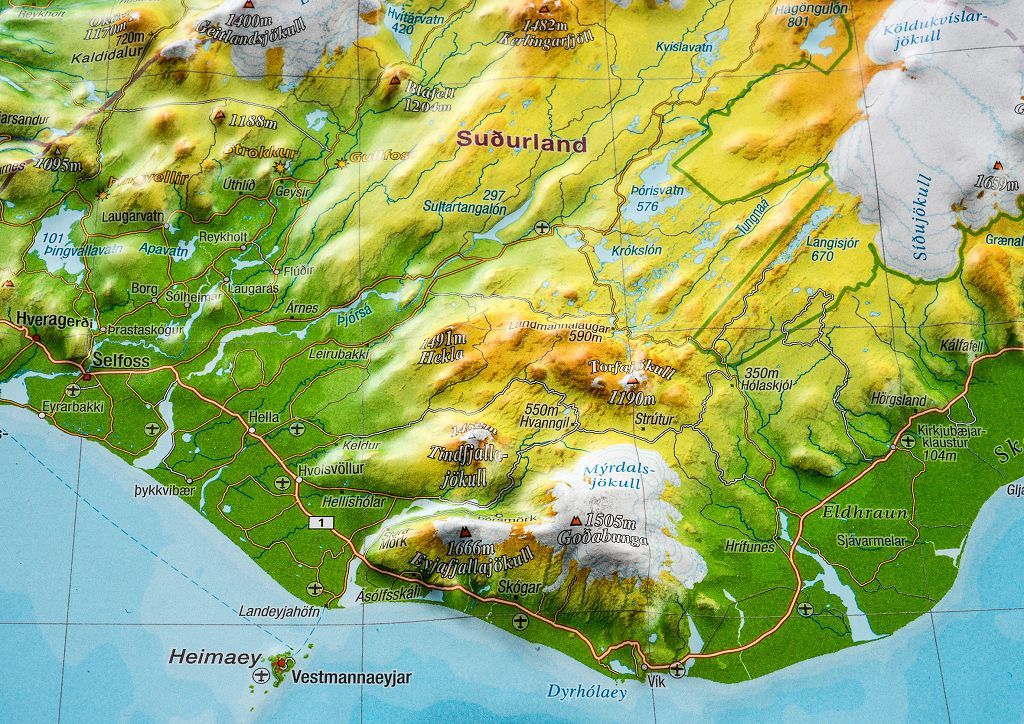
This Allgäu & Lake Constance relief wall map from Georelief offers a particularly realistic 3D representation of one of the most beautiful regions in Central Europe. At a scale of 1:200,000, it encompasses the southern Allgäu, Lake Constance (Bodensee), and the Säntis region, allowing you to appreciate the diversity of these alpine and lake landscapes at a glance.
Created by combining several of the brand's iconic relief maps, it showcases the terrain, mountain ranges, and lake's contours with great precision. Ideal as a decorative item or educational tool.
3D Relief Wall Map
Region: Allgäu, Lake Constance, Säntis region
Scale: 1:200,000
Dimensions: 77 x 57 cm (770 x 570 mm)
Detailed representation of the alpine terrain and landscapes
Decorative and educational support
Echelle : 1/200,000 (1 cm = 2 km)
Impression: front
Dimensions déplié(e) : 77 x 57cm
Langue : German English
The exclusive newsletter for travel and discovery enthusiasts!