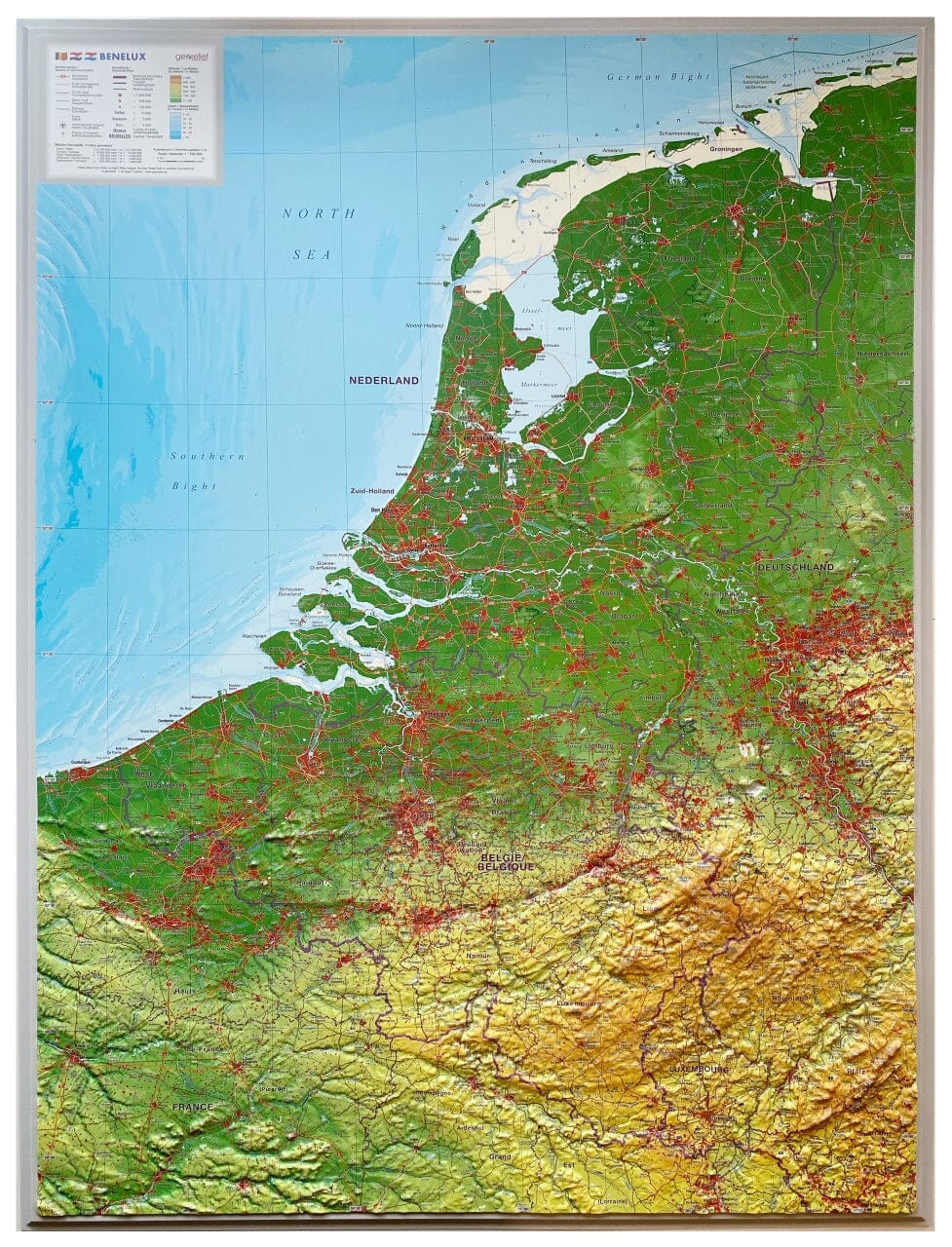
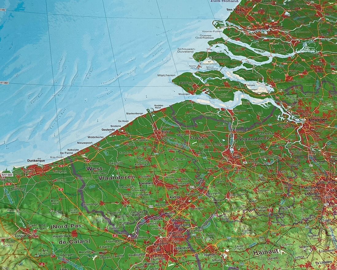
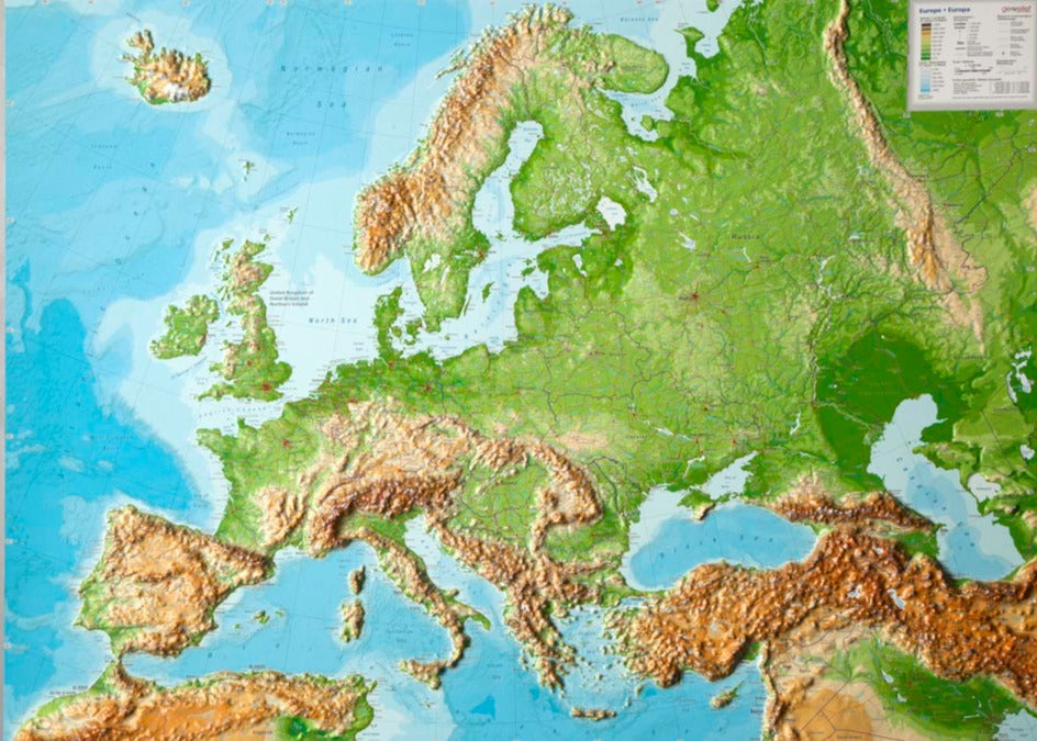
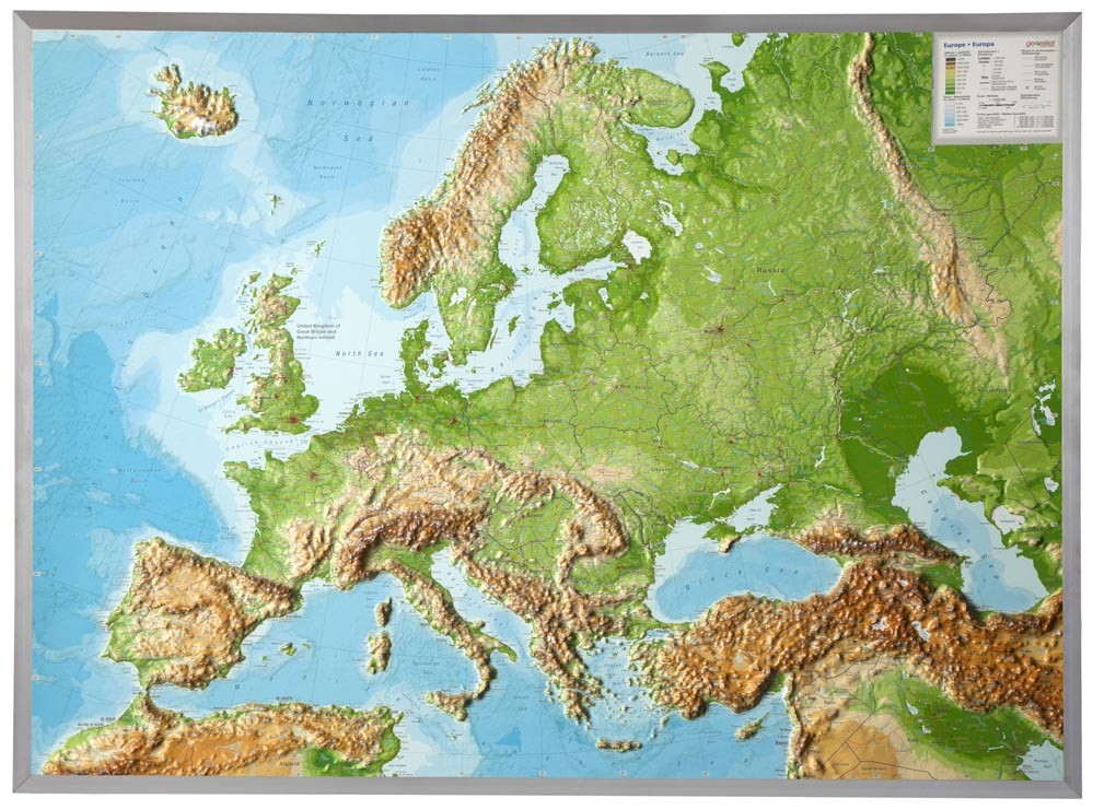
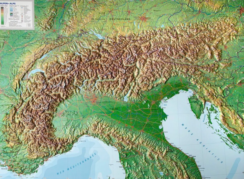
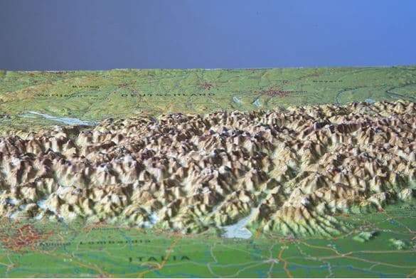
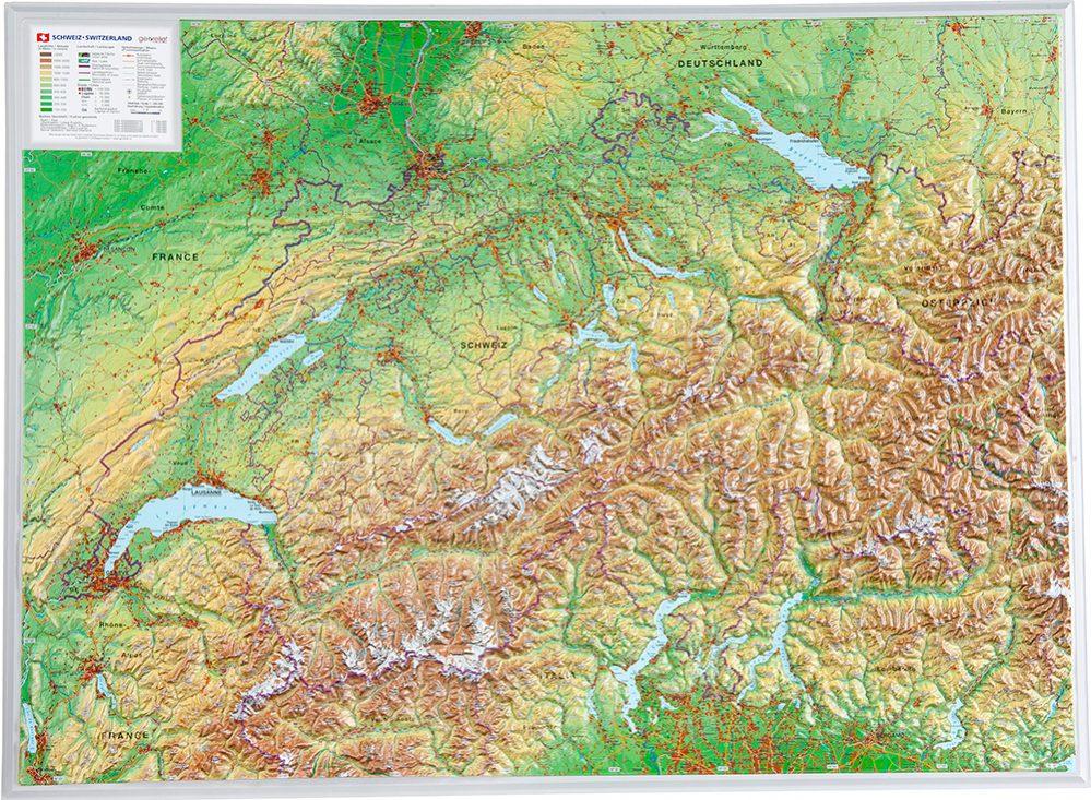
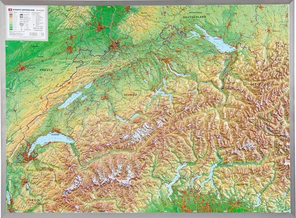
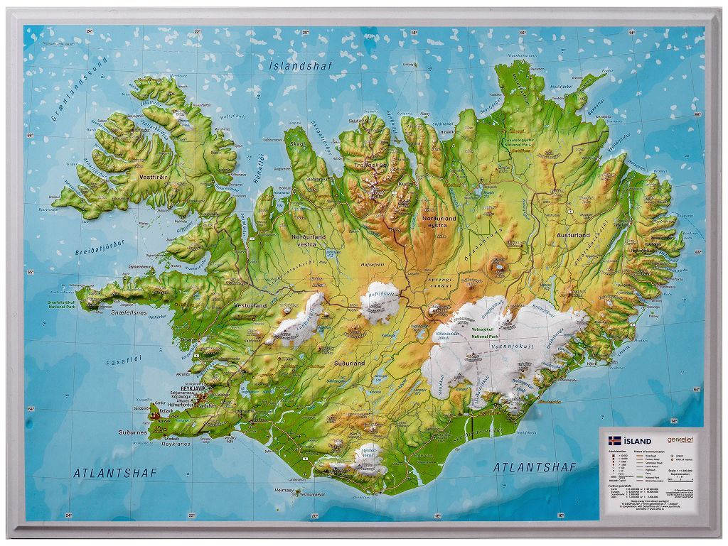
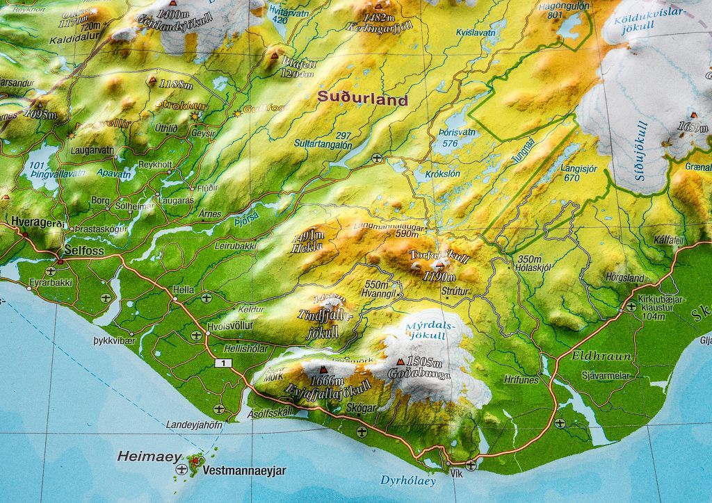
Relief wall map - Benelux (in English) - 77 x 57 cm | Georelief
- Shipping within 7 to 10 working days from our warehouse in France
- Delivery costs calculated instantly in the basket
Over 19,500 maps 🗺️ and travel guides, hiking maps, posters, globes, and decor in stock!
Explore the world, one map at a time 🗺️
Cartovia is rated Excellent ⭐️ on Trustpilot — 9,100+ reviews from explorers and map lovers worldwide.
Cartovia is rated Excellent ⭐️ on Trustpilot — 9,100+ reviews from explorers and map lovers worldwide
Relief map of Belgium, the Netherlands and Luxembourg published by Georelief.
The three Benelux countries (Belgium, Luxembourg and the Netherlands) have more to offer than meets the eye. The mountain ranges reach almost 700 m in altitude. We are happy to be able to to present this fascinating region in the heart of Europe at a scale of 1:700,000.
This relief map features a Coffee table use of nuances in their colors reflecting the geographic relief and gives a three-dimensional impression of the mountains. Using 3D technique, Georelief creates a detailed, visually sophisticated and comprehensive relief of the landscape.
Dimensions: 77 x 57 cm.
Language: English and national language in the countries concerned
ISBN / EAN : 4251405901362
Date de publication : 2024
Echelle : 1/700,000 (1cm=7km)
Impression: front
Dimensions déplié(e) : 77 x 57cm
Langue : English
Poids :
1070 g
The exclusive newsletter for travel and discovery enthusiasts!