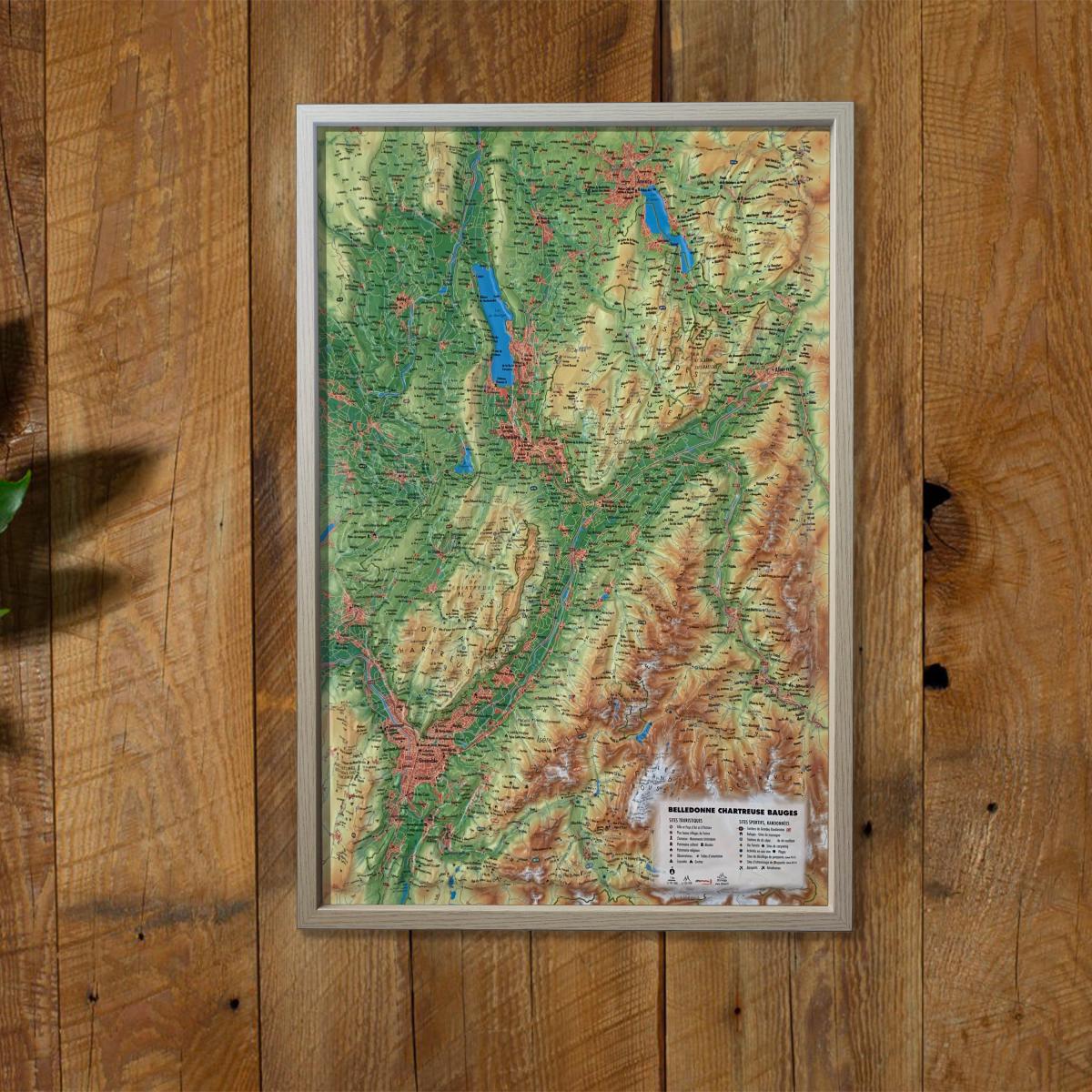
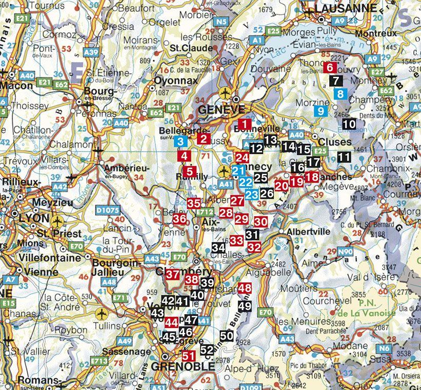
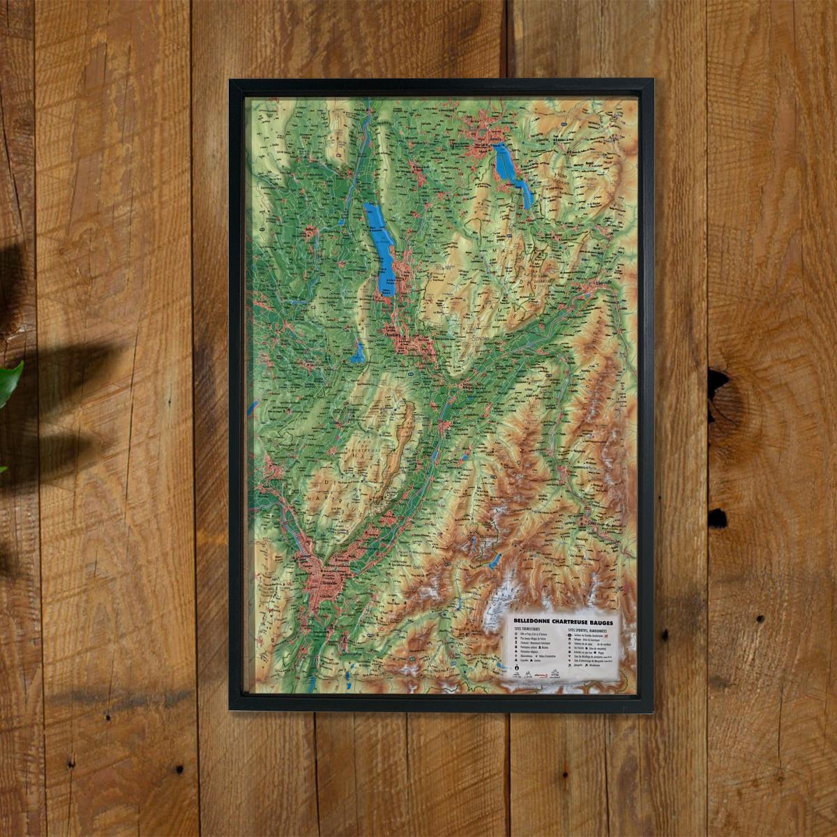
Relief wall map - Bauges, Belledonne, Chartreuse - 41 cm x 61 cm | 3D Map (French)
- Real-time inventory
-
Cartovia Guarantee – Delivery issue?
We resend immediately upon receiving a simple photo.
📦 Hard-to-find maps - worldwide shipping
📦 Hard-to-find maps & travel guides - worldwide shipping, 30-day returns
🌞 Summer travel: 20,000+ maps in stock
🌞 Plan your summer: 20,000+ maps and travel guides in stock Details →
✅ Latest editions guaranteed — since 2010
✅ Latest editions guaranteed - 180,000+ travellers equipped since 2010
Discover the Alpine landscapes with this raised relief wall map of the Bauges, Belledonne and Chartreuse massifs. Highly detailed, it highlights three iconic mountain ranges known for outdoor activities, rich heritage and stunning natural formations.
A finishing frame is available as an optional accessory; we strongly recommend it for easier hanging and a polished presentation.
Hydrological, natural, hypsometric and administrative information
“Most Beautiful Villages of France”
Towns and Regions of Art and History
“Grands Sites Occitanie”
Cultural and religious heritage
Museums
Natural sites
Waterfalls
Prehistoric sites
Caves
Viewpoints and orientation tables
Long-distance hiking trails
Mountain huts and guesthouses
Alpine and Nordic ski resorts
Via ferrata
Thermal spas
Beaches
White-water activities
Paragliding sites (www.ffvl.fr)
Take-off and landing zones
Airports and aerodromes
Planimetric scale: 1:185,000
Altimetric scale: 1:120,000
Size: 41 × 61 cm
An excellent map for mountain lovers, hikers and outdoor sports enthusiasts, or as a decorative and educational piece showcasing the Alpine relief.
ISBN/EAN : 9791097206284
Publication date: 2020
Scale: 1/185,000 (1 cm = 1.85 km)
Unfolded dimensions: 41cm x 61cm
Language(s): French
Weight:
136 g
The exclusive newsletter for travel and discovery enthusiasts!