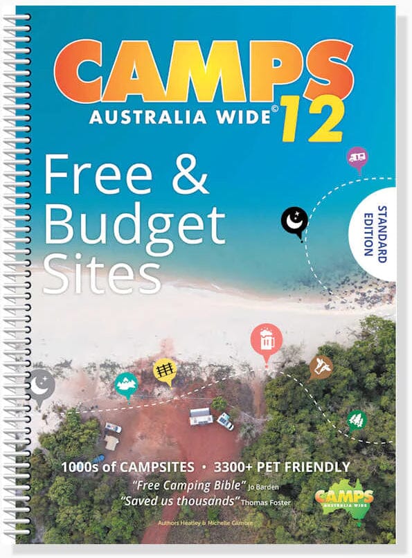
Australia road atlas and campsite guide - Camps Australia Wide 12 (A4 format) | Hema Maps

Price
Regular price $9200
Regular price Sale price $9200
/
  • Shipped within 24 to 48h from our warehouse in France
  • All-inclusive price: customs duties are already paid by Cartovia
  • Free returns (*)
  • Real-time stock levels
  • Cartovia Guarantee – Delivery issue?
    We resend immediately upon receiving a simple photo.
  • In stock, ready to ship
  • Backordered, shipping soon
Tax included.

Frequently bought together:

This A4 spiral-bound atlas of Australia, published by Hema Maps, provides detailed mapping of every region, from the Northern Territory to New South Wales and Queensland. It shows national parks, state forests and parks, free campsites and rest areas.

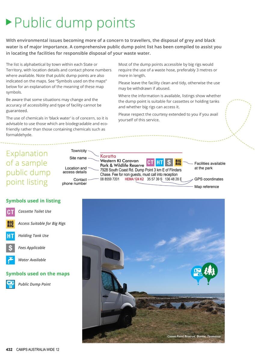
The atlas also includes a detailed campsite guide arranged by region, with map locations, GPS coordinates, prices, services, tent and motorhome information and more.

Camps 12 helps you find hidden gems throughout Australia, with a stronger-than-ever emphasis on free and low-cost sites. It includes every type of camping, from distinctive outback and remote sites to farm stays, showgrounds, national parks, state forest sites, budget caravan parks, pet-friendly sites and more.

  • Distance table and town index included.
  • GPS locations for every site.
  • Detailed information on services.
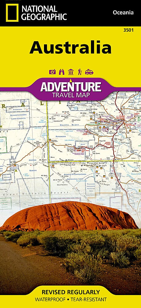
  • Map atlas for navigation.

Our view: a reference atlas for camping and travelling Australia's roads.

Also available in an extra-large format.


ISBN/EAN : 9780994532763
Publication date: 2023
Pagination: 478 pages
Scale: Various scales
Folded dimensions: 29.7 x 23 x 2.5cm
Language(s): English
Weight: 788 g