Travel Map - Antarctica | National Geographic

Price
Regular price $1495
Regular price Sale price $1495
/
  • In stock in France, in the USA and in the UK
    Shipped within 24 to 48h from the warehouse closest to you
  • Free returns (*)
  • Real-time stock levels
  • Cartovia Guarantee – Delivery issue?
    We resend immediately upon receiving a simple photo.
  • In stock, ready to ship
  • Backordered, shipping soon
Tax included.

Frequently bought together:

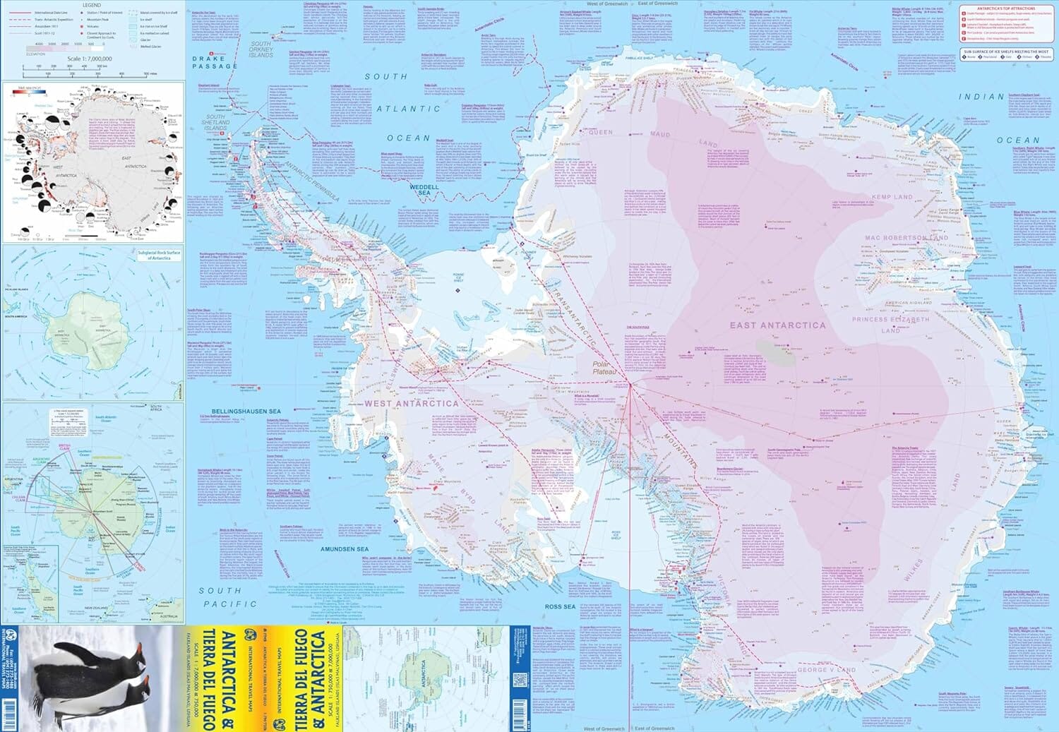
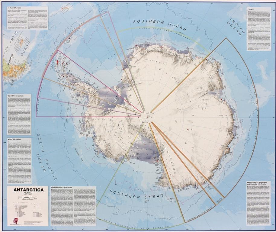
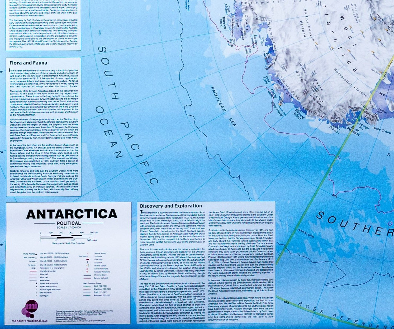
Discover Antarctica with this National Geographic travel map, designed to provide a detailed view of the southernmost continent on Earth. It highlights major ice sheets, glaciers, relief features, research stations, and key historical sites related to polar exploration.

The map also includes detailed insets of the Antarctic Peninsula and the Scotia Sea, as well as a representation of oceanic bathymetry, ice thickness, and ice movements.

Map Information

  • Detailed index of major geographic features
  • Inset of the Antarctic Peninsula
  • Map of the Scotia Sea and surrounding islands
  • Ice sheet thickness and dynamics
  • Location of research stations
  • Historical sites and major exploration routes
  • Bathymetry of surrounding oceans
  • Waterproof and tear-resistant material

Covered Region

  • Antarctica
  • Antarctic Peninsula
  • Scotia Sea
  • Southern Ocean


ISBN/EAN : 9781566959360
Publication date: 2026
Scale: 1:975,000 (1 cm = 9.75 km)
Printed sides: double-sided
Folded dimensions: 9.2 x 4.3 x 0.3 in
Unfolded dimensions: 96 x 65 cm
Language(s): English
Weight: 89 g