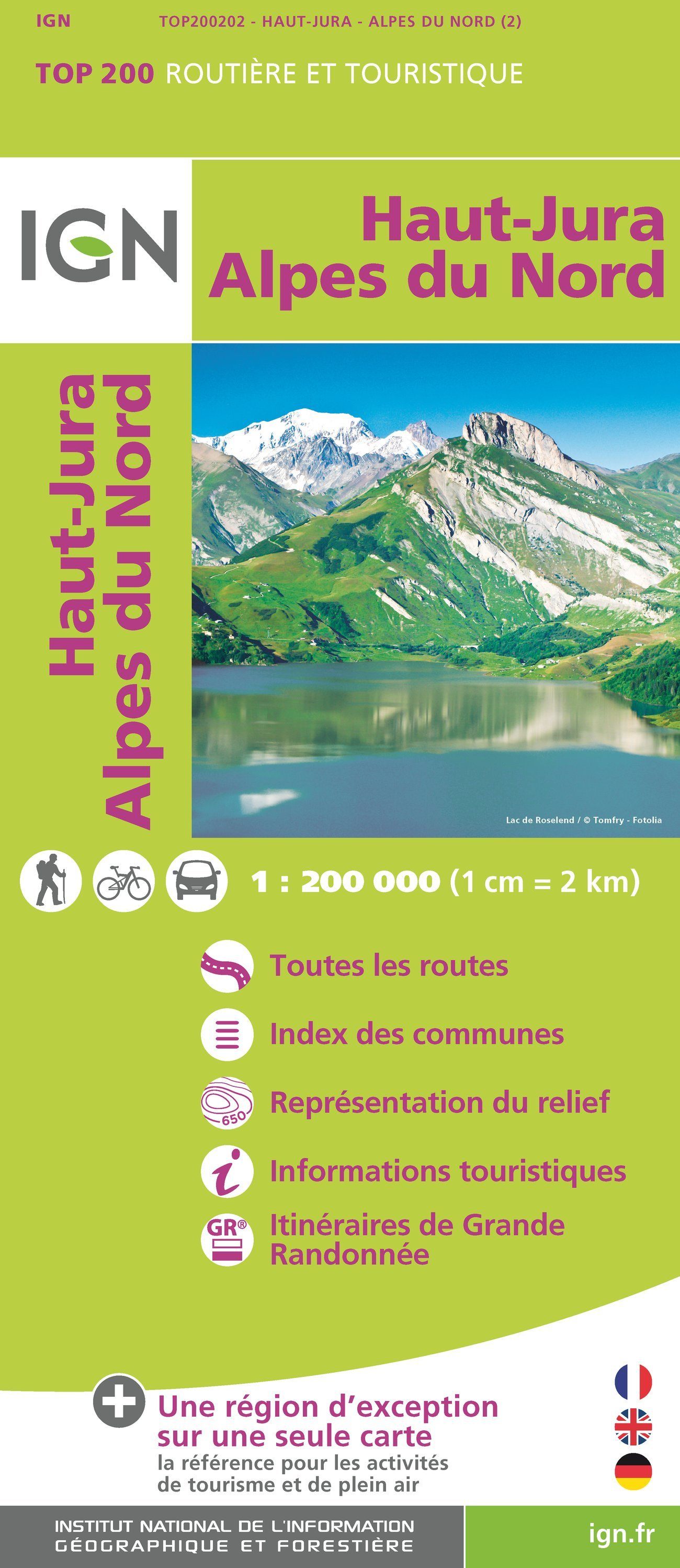
Top 200 Map - No. 202 - Northern High Jura & Alps | IGN

Price
Regular price $900
Regular price Sale price $900
/
  • Shipping within 24 working hours from our warehouse in France
  • Choose your delivery method and cost at checkout, before confirming your order.
  • Free returns (*)
  • Real-time inventory
  • Low stock - 2 items left
  • Backordered, shipping soon
Tax included.

Often purchased together:

Road map and tourist of Jura and Northern Alps published by IGN. This detailed map extends from Lons - le - Saunier to Die (from North to South) and Mâcon to Aosta (West East). This map includes the regions of Bourg - En - Bresse, Annecy, Chambéry and Grenoble.
Features of this IGN Top 200 series features:
  • The entire motorway and road network: the ideal for travel by car and cycling.
  • Detailed tourist information, practices to discover a region. GR®: The reference for planisphere its hikes.
  • The representation of the relief, indispensable for mountainous regions (level curves, stitches, sludge).
  • An index of all municipalities to find easily.
  • The reference for tourism and outdoor activities. Scale 1/200 000.


ISBN/EAN : 9782758543855
Publication date: 2018
Scale: 1/200,000 (1cm=2km)
Folded dimensions: 24.4 x 10.6 x 2cm
Language(s): French, English, German
Weight: 85 g