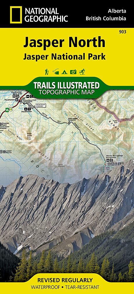
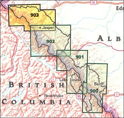
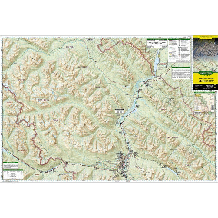
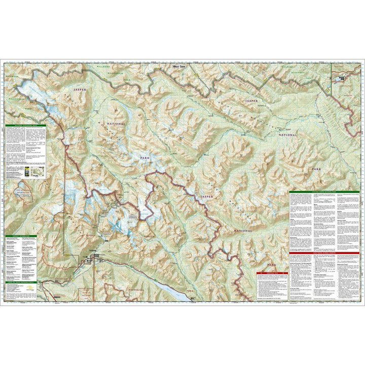
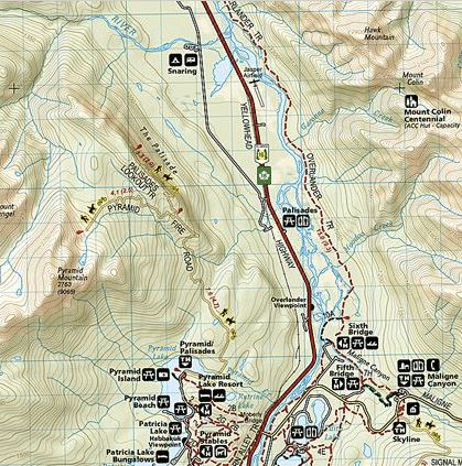
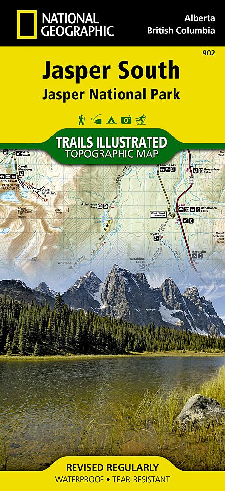
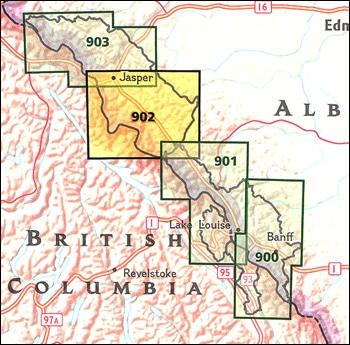
Topographic map of the northern part of Jasper National Park (Canadian Rockies) published by National Geographic. Level curves, indication of trekking paths, places of accommodation (campsites), bases of range. The cover includes many popular points of interest such as Hot Springs Miette, Canyon Maligne, Pyramid Lake and Mountain, Calumet Glaciers, Lake Celestine and Snake Indian River, as well as the city of Jasper. Also covered adjacent areas of Rock Lake - Solomon Creek Wildland Park, Mount Robson Provincial Park and Willmore Wilderness Park.
Detailed waterproof and tearing resistant.
1/100 000 scale (1 cm = 1 km).


