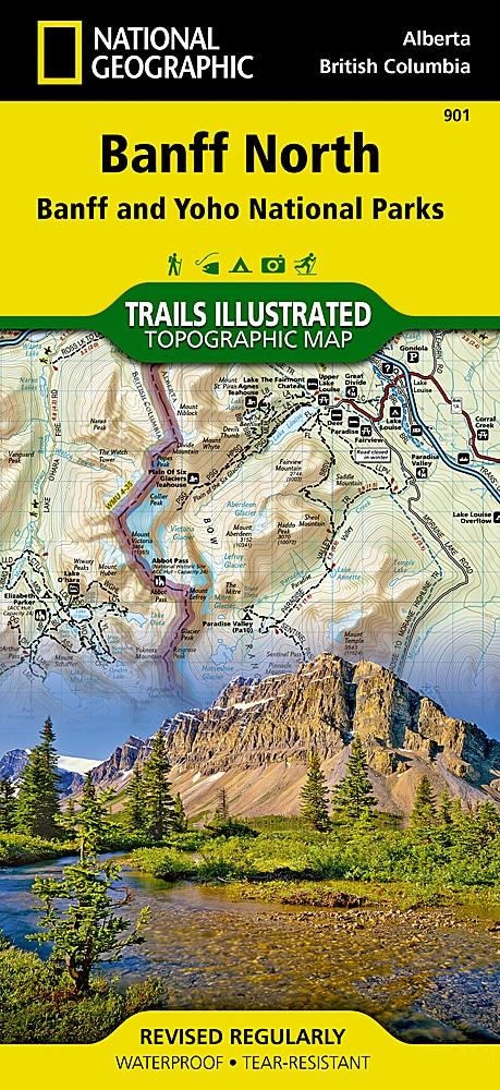
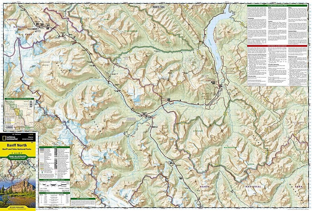
Hiking map No. 901 - Banff Nord (Banff & Yoho National Parks) | National Geographic
- Ships within 24 business hours from our warehouse in France
- Free returns (*)
- Real-time stock levels
-
Cartovia Guarantee – Delivery issue?
We resend immediately upon receiving a simple photo.
- In stock, ready to ship


