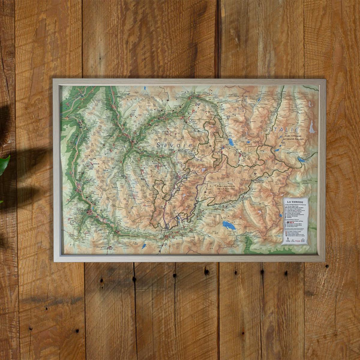
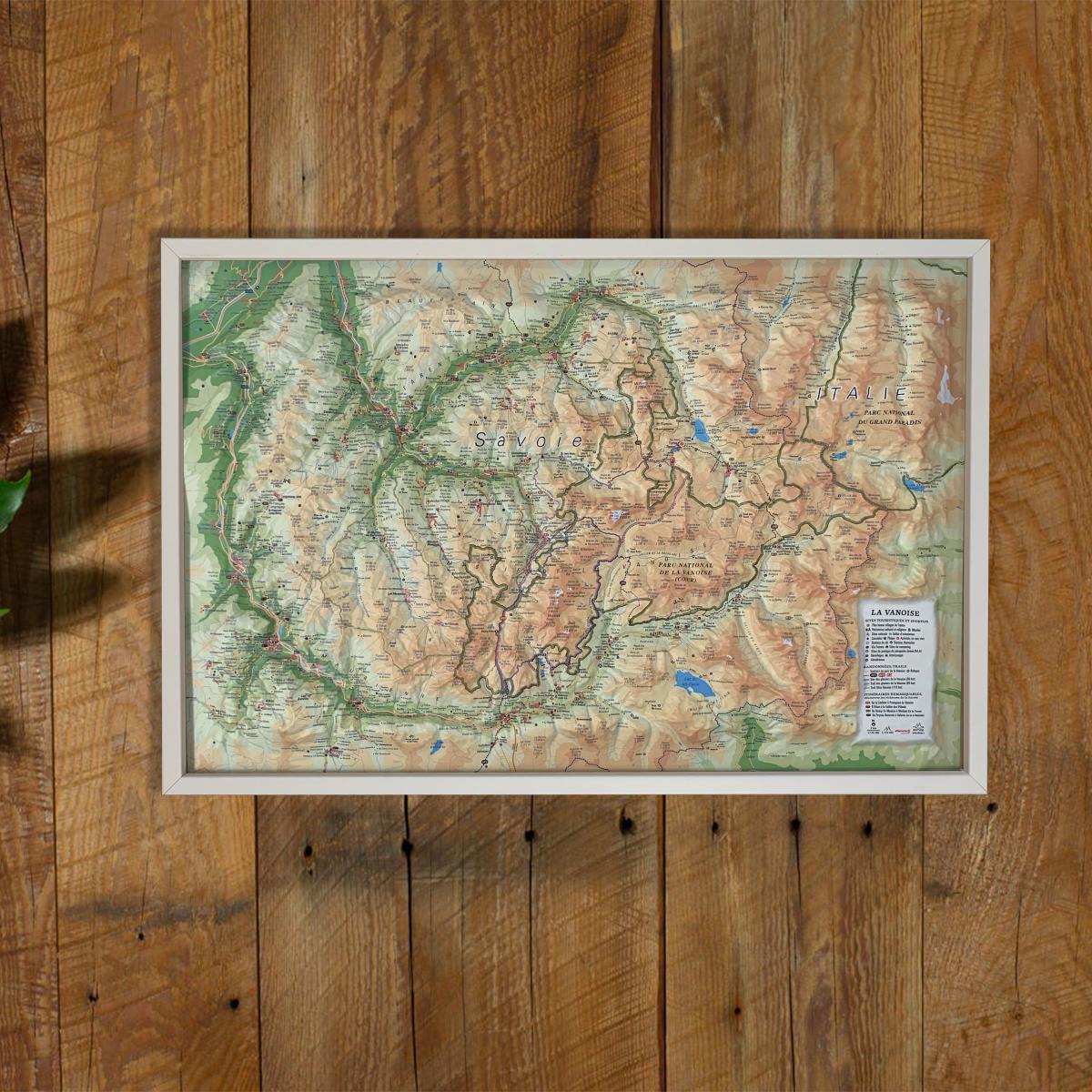
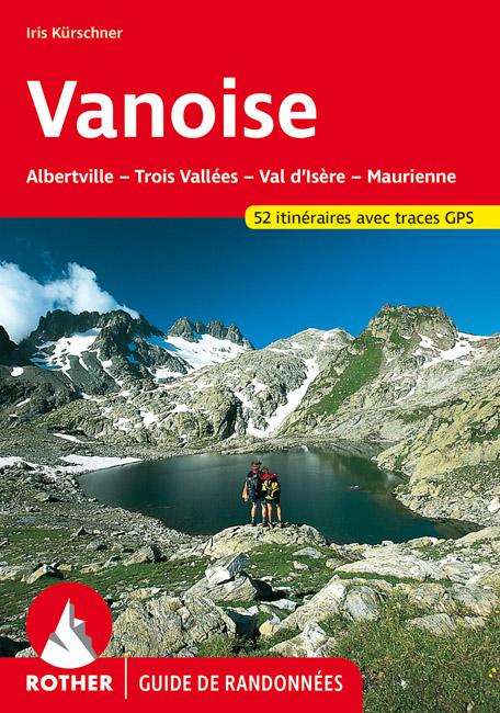
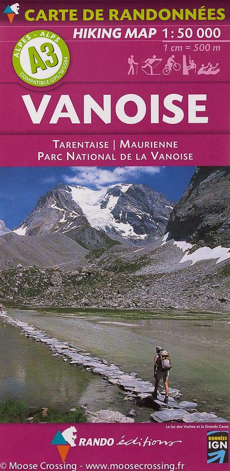
Explore the beauty of the French Alps with this raised relief wall map of the Vanoise, showcasing one of the most iconic alpine massifs and France’s first national park. Its detailed 3D modeling highlights glaciers, major peaks, valleys, renowned ski resorts and hiking itineraries.
A finishing frame is available as an optional accessory; we highly recommend it for easier hanging and a refined display.
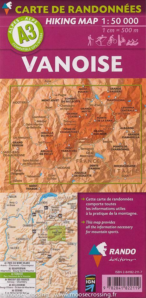
Information shown on the map:
General data:
• Hydrological, natural, hypsometric and administrative information
Touristic & cultural sites:
• Museums
• Most Beautiful Villages of France
Heritage & alpine activities:
• Legendary monuments and castles
• Famous ski resorts
• Paragliding sites (take-off & landing zones)
Natural sites & outdoor activities:
• Thermal spas
• Waterfalls, gorges and caves
• Glaciers and major summits
• Alpine massifs
• Long-distance hiking trails (GR)
• Trail routes
Routes & mountain shelters:
• Notable routes
• Mountain refuges
Scale:
1 : 150,000
A perfect map for hikers, mountaineers, National Park enthusiasts, alpine landscape lovers or anyone wishing to decorate their home with a beautiful and accurate representation of the Vanoise massif.