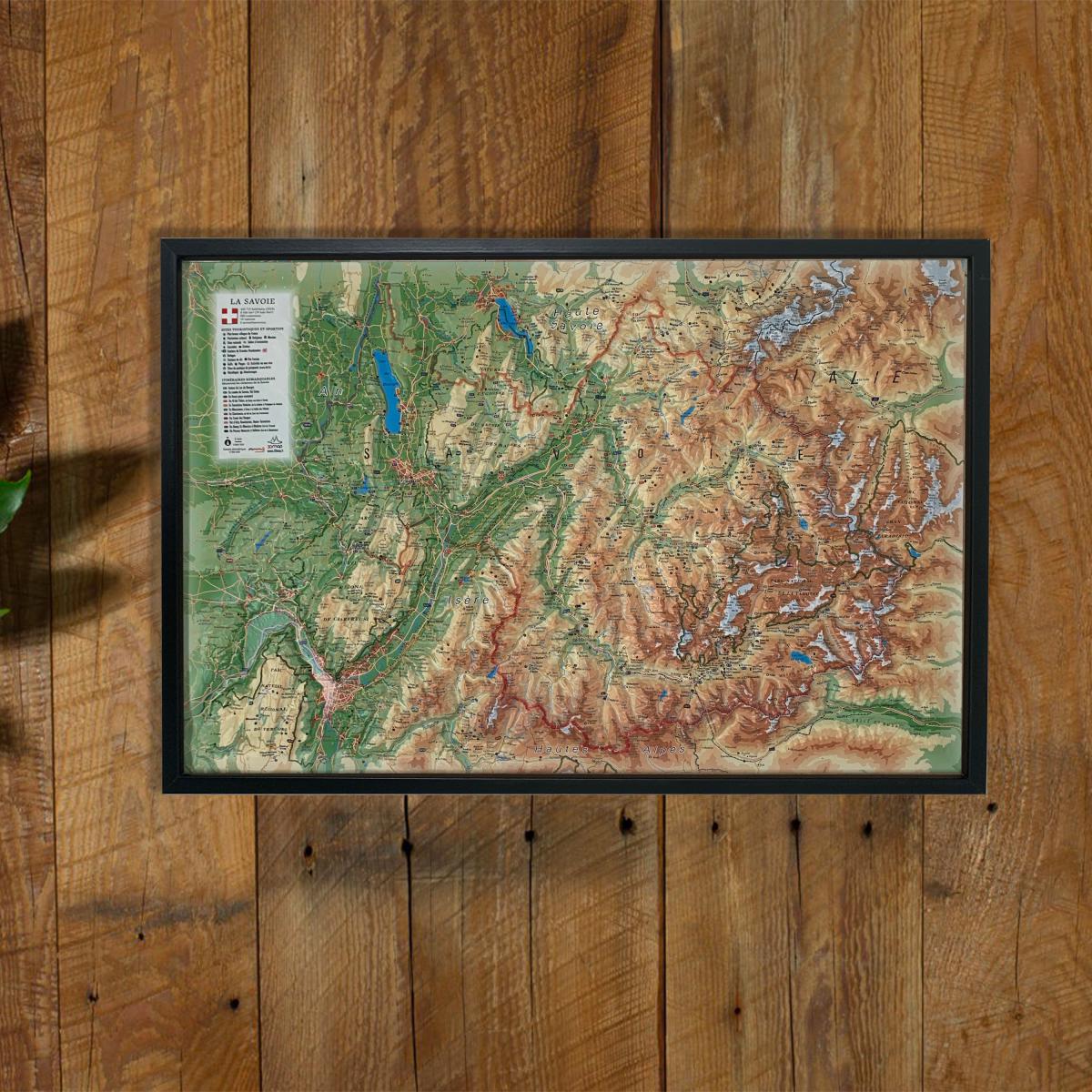
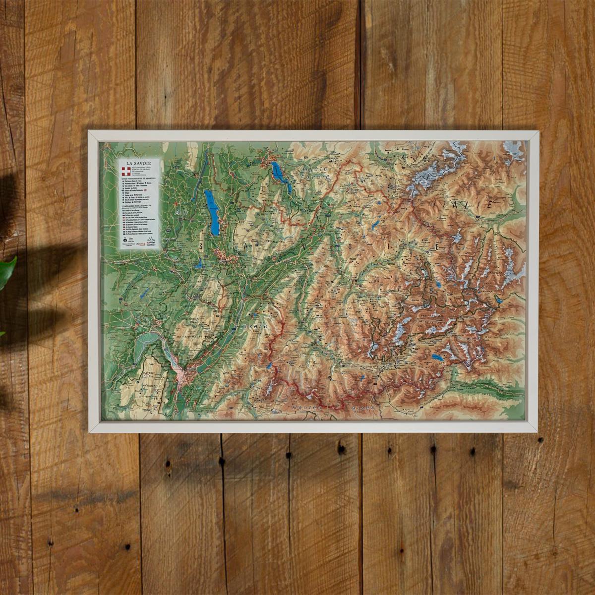
Raised relief map - The two Savoies - 41 cm x 61 cm | 3D Map

Price
Regular price $4800
Regular price Sale price $4800
/
  • Real-time inventory
  • Cartovia Guarantee – Delivery issue?
    We resend immediately upon receiving a simple photo.
  • In stock, ready to ship
  • Backordered, shipping soon
Tax included.

Often purchased together:

The raised relief map of the two Savoies offers a detailed 3D representation of Savoie and Haute-Savoie, ideal for visualizing the alpine topography and discovering the natural and tourist riches of the region.

Thanks to its pronounced relief and its numerous thematic information points, it is both a practical tool and a beautiful decorative object.

An optional finishing frame is available: we highly recommend it to facilitate hanging and enhance your map.

📌 Features

  • Format: 41 x 61 cm
  • Relief (3D) map for intuitive terrain reading
  • Scale:
    • Altitudinal: 1:360,000
    • Planimetric: 1:195,000

🏞️ Content – Tourist sites

  • Cultural Heritage
  • Most beautiful villages of France
  • Network of Vauban sites
  • Remarkable sites
  • Waterfalls and caves

🚴♂️ Activities & outdoors

  • Ski resorts
  • Paragliding sites (take-off / landing)
  • Via ferrata and climbing
  • Mountain refuges
  • Long-distance hiking trails (GR)
  • Route des Grandes Alpes
  • National and regional parks
  • Aerodromes


ISBN / EAN : 9791097206710
Date de publication : 2026
Echelle : 1/195,000 (1 cm = 1.95 km)
Dimensions déplié(e) : 41cm x 61cm
Langue : French
Poids : 136 g