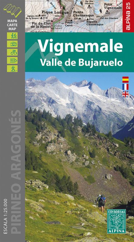
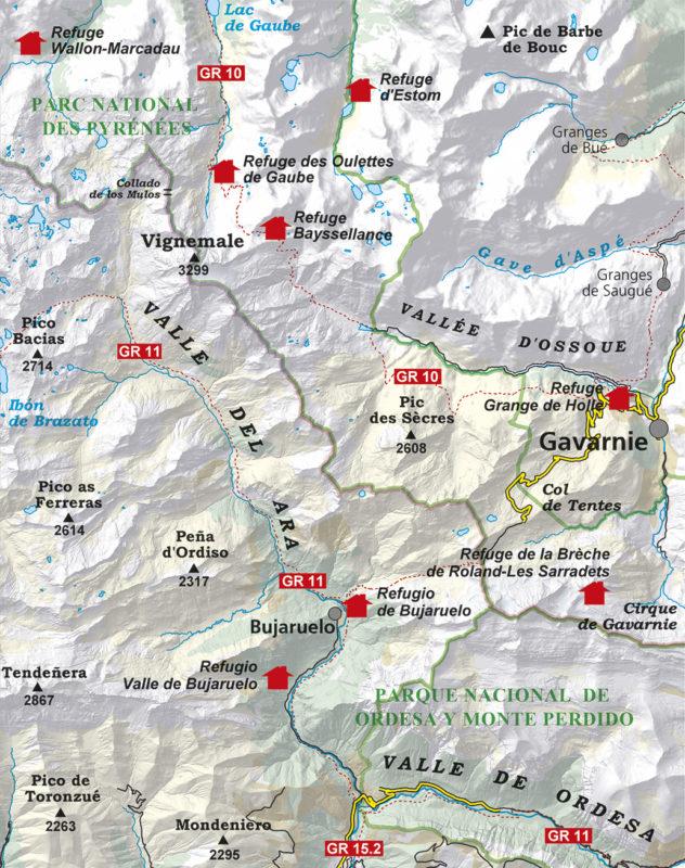
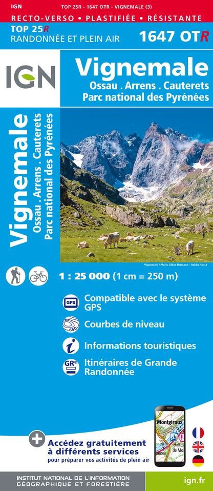
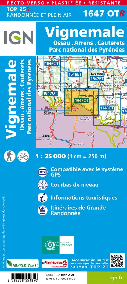
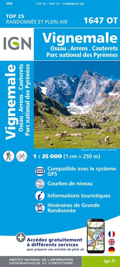
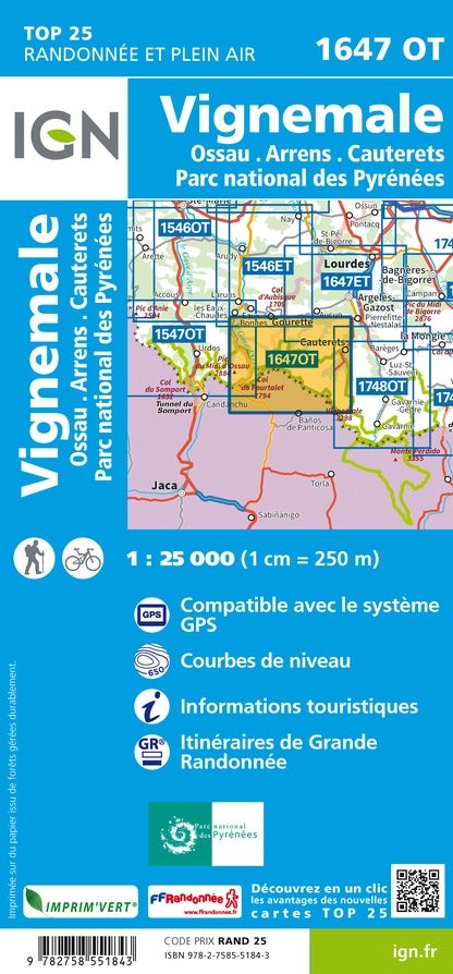
Hiking map - VigNemale & Bujaruelo Valley Massif (Aragonese Pyrenees) | Alpina
Regular price
167 kr
Regular price
Sale price
167 kr
/
- Shipping within 24 working hours from our warehouse in France
- Delivery costs calculated instantly in the basket
- Free returns (*)
- Real-time inventory
- In stock, ready to ship