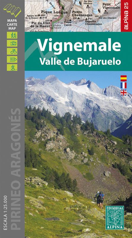
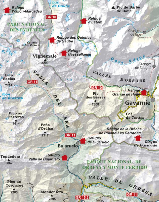
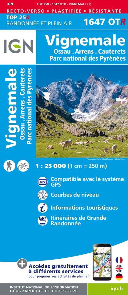
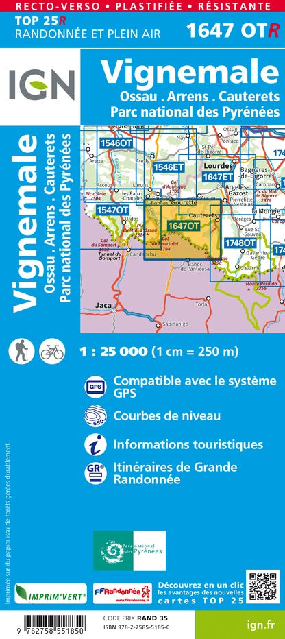
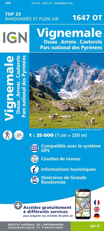
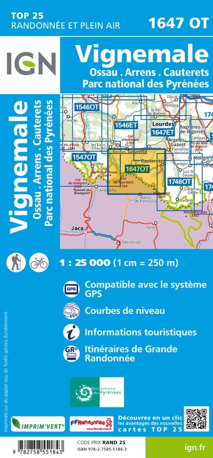
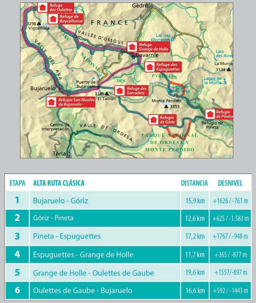
Hiking map - VigNemale & Bujaruelo Valley Massif (Aragonese Pyrenees) | Alpina

Price
Regular price 168 kr
Regular price Sale price 168 kr
/
  • Shipping within 24 working hours from our warehouse in France
  • Choisissez votre mode et vos frais de livraison à l’étape de paiement, avant de valider.
  • Retours gratuits (*)
  • Stocks en temps réel
  • In stock, ready to ship
  • Backordered, shipping soon
Tax included.

Souvent achetés ensemble :

Detailed topographic map of the Vigne Massif and Bujaruelo Valley.

Map sector: Aragonese Pyrenees. Vigne Massif, Bujaruelo Valleys, Ordesa, Ossoue, Gaube and Gavarnie.

This map covers part of the Pyrenees National Park.

The detailed map, published by Editorial Alpina, is in color with the level curves. Indication of the marked trails (gr, pr), trails, shelters, waterfalls, etc.

The map comes with a folder including:
• Refuges
• Hiking
• Information about the National Park
• Top10: points of interest.

1/25 000 scale (1 cm = 250 m).


ISBN/EAN : 9788480908702
Publication date: 2021
Scale: 1/25,000 (1cm=250m)
Printed sides: front
Folded dimensions: 21 x 11.5 x 1cm
Unfolded dimensions: 68x98cm
Language(s): French, Castilian, English
Weight: 156 g